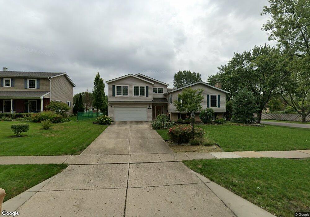
929 69th St Darien, IL 60561
Estimated Value: $527,000 - $610,000
Studio
--
Bath
2,465
Sq Ft
$228/Sq Ft
Est. Value
About This Home
This home is located at 929 69th St, Darien, IL 60561 and is currently estimated at $562,258, approximately $228 per square foot. 929 69th St is a home located in DuPage County with nearby schools including Mark Delay School, Lace Elementary School, and Eisenhower Jr High School.
Ownership History
Date
Name
Owned For
Owner Type
Purchase Details
Closed on
Jul 2, 2019
Sold by
Stefanski Terrance R and Stefanski Julie
Bought by
Stefanski Kenneth J and Stefanski Heather C
Current Estimated Value
Home Financials for this Owner
Home Financials are based on the most recent Mortgage that was taken out on this home.
Original Mortgage
$220,000
Outstanding Balance
$191,938
Interest Rate
3.62%
Mortgage Type
New Conventional
Estimated Equity
$370,320
Purchase Details
Closed on
Jun 12, 2009
Sold by
Chicago Title Land Trust Company
Bought by
Stefanski Terrance R and Stefanski Julie
Home Financials for this Owner
Home Financials are based on the most recent Mortgage that was taken out on this home.
Original Mortgage
$120,000
Interest Rate
4.85%
Mortgage Type
Purchase Money Mortgage
Create a Home Valuation Report for This Property
The Home Valuation Report is an in-depth analysis detailing your home's value as well as a comparison with similar homes in the area
Home Values in the Area
Average Home Value in this Area
Purchase History
We collect this data history from publicly available records. To have your information removed, we recommend requesting removal directly through your county’s website.
| Date | Buyer | Sale Price | Title Company |
|---|---|---|---|
| Stefanski Kenneth J | $350,000 | Stewart Title | |
| Stefanski Terrance R | $265,000 | Ctic |
Source: Public Records
Mortgage History
We collect this data history from publicly available records. To have your information removed, we recommend requesting removal directly through your county’s website.
| Date | Status | Borrower | Loan Amount |
|---|---|---|---|
| Open | Stefanski Kenneth J | $220,000 | |
| Previous Owner | Stefanski Terrance R | $120,000 |
Source: Public Records
Tax History
| Year | Tax Paid | Tax Assessment Tax Assessment Total Assessment is a certain percentage of the fair market value that is determined by local assessors to be the total taxable value of land and additions on the property. | Land | Improvement |
|---|---|---|---|---|
| 2024 | $11,748 | $190,333 | $59,949 | $130,384 |
| 2023 | $11,332 | $174,970 | $55,110 | $119,860 |
| 2022 | $9,798 | $152,350 | $53,980 | $98,370 |
| 2021 | $9,426 | $150,620 | $53,370 | $97,250 |
| 2020 | $9,301 | $147,630 | $52,310 | $95,320 |
| 2019 | $8,995 | $141,650 | $50,190 | $91,460 |
| 2018 | $10,014 | $152,230 | $50,010 | $102,220 |
| 2017 | $9,938 | $146,480 | $48,120 | $98,360 |
| 2016 | $9,708 | $139,790 | $45,920 | $93,870 |
| 2015 | $9,608 | $131,510 | $43,200 | $88,310 |
| 2014 | $6,818 | $123,000 | $42,000 | $81,000 |
| 2013 | $6,582 | $122,420 | $41,800 | $80,620 |
Source: Public Records
Map
Nearby Homes
- 6922 Sierra Dr
- 825 Columbia Ln
- 1076 Larkspur Ln Unit C42C
- 6914 Richmond Ave
- 1120 Ponderosa Ct
- 1061 Sean Cir
- 817 Belair Dr
- 7216 Leonard Dr
- 1524 Crab Tree Dr
- 538 Maple Ln
- 1139 James Peter Ct
- 17 Peach Tree Ln
- 1527 Harvest Ln
- 1530 Apple Grove Ln
- 18W276 Holly Ave
- 430 71st St
- 6136 Bentley Ave
- 61 W Pier Dr Unit 201
- 1313 Cass Ln E Unit 302
- 7413 Brookdale Dr Unit 208
Your Personal Tour Guide
Ask me questions while you tour the home.