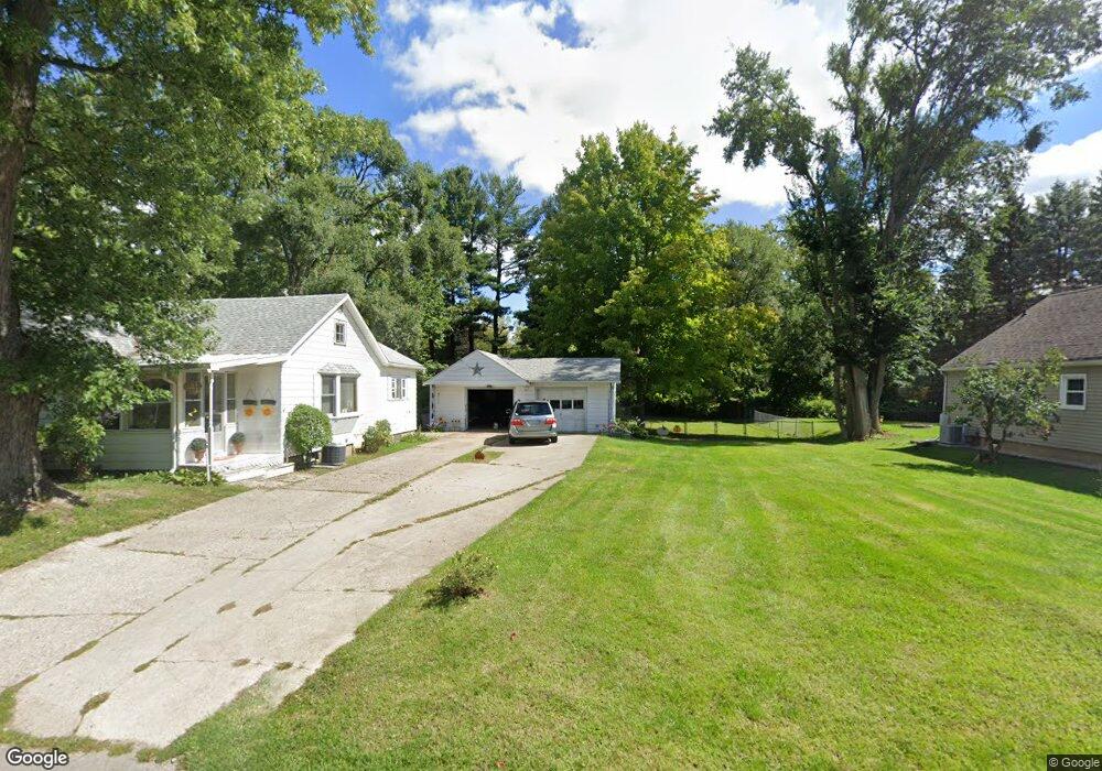
929 Winifred St Jackson, MI 49202
Estimated Value: $114,821 - $151,000
Studio
--
Bath
800
Sq Ft
$167/Sq Ft
Est. Value
About This Home
This home is located at 929 Winifred St, Jackson, MI 49202 and is currently estimated at $133,705, approximately $167 per square foot. 929 Winifred St is a home located in Jackson County with nearby schools including Hunt Elementary School, Middle School at Parkside, and Jackson High School.
Ownership History
Date
Name
Owned For
Owner Type
Purchase Details
Closed on
Apr 30, 2007
Sold by
Risner Linda K
Bought by
Brooks Kimberly S and Risner Linda
Current Estimated Value
Purchase Details
Closed on
Aug 16, 2005
Sold by
Hess Robert L and Hess Mary T
Bought by
Risner Linda K
Purchase Details
Closed on
Aug 9, 2005
Sold by
Hess Robert L and Hess Thelma L
Bought by
Risner Linda K
Purchase Details
Closed on
Oct 19, 1998
Sold by
Hess Robert L and Hess Thelma L
Bought by
Hess Robert and Linda Risner
Create a Home Valuation Report for This Property
The Home Valuation Report is an in-depth analysis detailing your home's value as well as a comparison with similar homes in the area
Home Values in the Area
Average Home Value in this Area
Purchase History
| Date | Buyer | Sale Price | Title Company |
|---|---|---|---|
| Brooks Kimberly S | -- | None Available | |
| Risner Linda K | -- | At | |
| Risner Linda K | -- | At | |
| Hess Robert | -- | -- |
Source: Public Records
Tax History
| Year | Tax Paid | Tax Assessment Tax Assessment Total Assessment is a certain percentage of the fair market value that is determined by local assessors to be the total taxable value of land and additions on the property. | Land | Improvement |
|---|---|---|---|---|
| 2025 | $29 | $47,450 | $0 | $0 |
| 2024 | $593 | $41,700 | $0 | $0 |
| 2023 | $593 | $38,000 | $0 | $0 |
| 2022 | $19 | $32,100 | $0 | $0 |
| 2021 | $19 | $30,300 | $0 | $0 |
| 2020 | $18 | $26,800 | $0 | $0 |
| 2019 | $18 | $25,100 | $0 | $0 |
| 2018 | $18 | $24,300 | $0 | $0 |
| 2017 | $18 | $25,300 | $0 | $0 |
| 2016 | $25 | $24,955 | $24,955 | $0 |
| 2015 | $25 | $22,998 | $22,998 | $0 |
| 2014 | $25 | $22,905 | $22,905 | $0 |
| 2013 | -- | $22,905 | $22,905 | $0 |
Source: Public Records
Map
Nearby Homes
- 923 Wayne St
- 1802 W Argyle St
- 870 Bryant Ave
- 2318 Lancaster Blvd
- 705 Varden Dr
- 0 N Brown St
- 718 Center St
- VL Laurence Ave
- 0 VL Laurence Ave
- 221 N Higby St
- 534 Barrett Ave
- 835 N West Ave
- 831 N West Ave
- 836 Lincoln St
- 716 Lincoln St
- 1006 Wildwood Ave
- 713 Webb St
- 311 Hibbard Ave
- 1105 Clinton Rd
- 0 Laurence Ave Unit 25062864
- 929 Winifred St
- 935 Winifred St
- 915 Winifred St
- 913 Winifred St
- 1001 Winifred St
- 936 Winifred St
- 936 Winifred St
- 906 Winifred St
- 906 Winifred St
- 906 Winifred St
- 928 Wayne St
- 924 Wayne St
- 1006 Wayne St
- 904 Winifred St
- 1728 W North St
- 1714 W North St
- 1015 Winifred St
- 1012 Wayne St
- 900 Winifred St
- 919 Longfellow Ave
Your Personal Tour Guide
Ask me questions while you tour the home.