93 Cabe Rd Toccoa, GA 30577
Estimated Value: $159,933 - $285,000
3
Beds
1
Bath
918
Sq Ft
$230/Sq Ft
Est. Value
About This Home
This home is located at 93 Cabe Rd, Toccoa, GA 30577 and is currently estimated at $211,233, approximately $230 per square foot. 93 Cabe Rd is a home located in Stephens County with nearby schools including Stephens County High School.
Ownership History
Date
Name
Owned For
Owner Type
Purchase Details
Closed on
May 12, 2023
Sold by
Mincks Linda
Bought by
Mincks Dennis
Current Estimated Value
Purchase Details
Closed on
Aug 30, 2022
Sold by
Creamer Myrtle
Bought by
Mincks Linda
Purchase Details
Closed on
Mar 19, 2001
Bought by
Creamer William P and Creamer Myrtle S
Purchase Details
Closed on
Sep 13, 2000
Bought by
<Buyer Info Not Present>
Purchase Details
Closed on
Aug 3, 1999
Bought by
<Buyer Info Not Present>
Purchase Details
Closed on
Jul 1, 1997
Bought by
<Buyer Info Not Present>
Create a Home Valuation Report for This Property
The Home Valuation Report is an in-depth analysis detailing your home's value as well as a comparison with similar homes in the area
Purchase History
| Date | Buyer | Sale Price | Title Company |
|---|---|---|---|
| Mincks Dennis | -- | -- | |
| Mincks Linda | -- | -- | |
| Creamer William P | $50,000 | -- | |
| <Buyer Info Not Present> | $41,500 | -- | |
| <Buyer Info Not Present> | -- | -- | |
| <Buyer Info Not Present> | $40,000 | -- |
Source: Public Records
Tax History
| Year | Tax Paid | Tax Assessment Tax Assessment Total Assessment is a certain percentage of the fair market value that is determined by local assessors to be the total taxable value of land and additions on the property. | Land | Improvement |
|---|---|---|---|---|
| 2025 | $1,029 | $37,489 | $3,994 | $33,495 |
| 2024 | $776 | $25,474 | $3,994 | $21,480 |
| 2023 | $726 | $23,836 | $3,994 | $19,842 |
| 2022 | $674 | $22,624 | $3,994 | $18,630 |
| 2021 | $660 | $21,092 | $3,994 | $17,098 |
| 2020 | $654 | $20,720 | $3,994 | $16,726 |
| 2019 | $657 | $20,720 | $3,994 | $16,726 |
| 2018 | $0 | $20,447 | $3,994 | $16,453 |
| 2017 | $0 | $20,447 | $3,994 | $16,453 |
| 2016 | $0 | $20,447 | $3,994 | $16,453 |
| 2015 | -- | $20,697 | $3,994 | $16,703 |
| 2014 | -- | $20,594 | $3,994 | $16,600 |
| 2013 | -- | $20,594 | $3,994 | $16,600 |
Source: Public Records
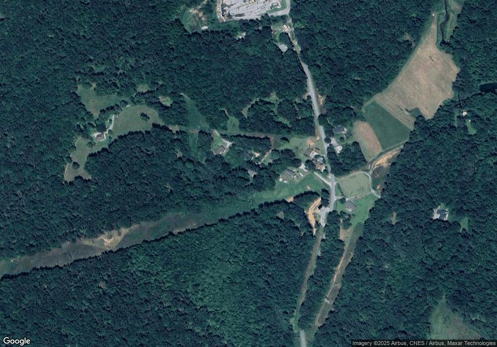
Map
Nearby Homes
- 2003 W Currahee St
- 258 Persimmon St
- 168 Yearwood St
- 0 Trestle Ridge Rd Unit 10654142
- 354 S Pine St
- 42 Busha St
- 48 Owen St
- 10 Busha St
- 514 S Broad St
- 481 W Currahee St
- 10 Archer St
- 98 Wood St
- 6937 W Currahee St
- 288 S Broad St
- 1037 S Pond St
- 44 Bell St
- 574 S Sage St
- 151 Richardson St
- 2146 Bend N Hickory Rd
- 93 Hickory Cir
- 87 Cabe Rd
- 49 Cabe Rd
- 141 Cabe Rd
- 68 Cabe Dr Unit TRACT 2
- 2816 Rock Quarry Cir
- 2732 Rock Quarry Cir
- 2799 Rock Quarry Cir
- 2668 Rock Quarry Cir
- 2847 Rock Quarry Cir
- 171 Rock Quarry Ct
- 339 Cabe Rd
- 97 Rock Quarry Ct
- 9047B Rock Quarry Cir
- 9047 Rock Quarry Cir
- 3397 Rock Quarry Cir
- 141 Blue Ridge Cir
- 592 Georgia 17 Unit 4
- 1399 Georgia 17 Unit A
- 1378 State Route 365
- 3455 Rock Quarry Cir
Your Personal Tour Guide
Ask me questions while you tour the home.