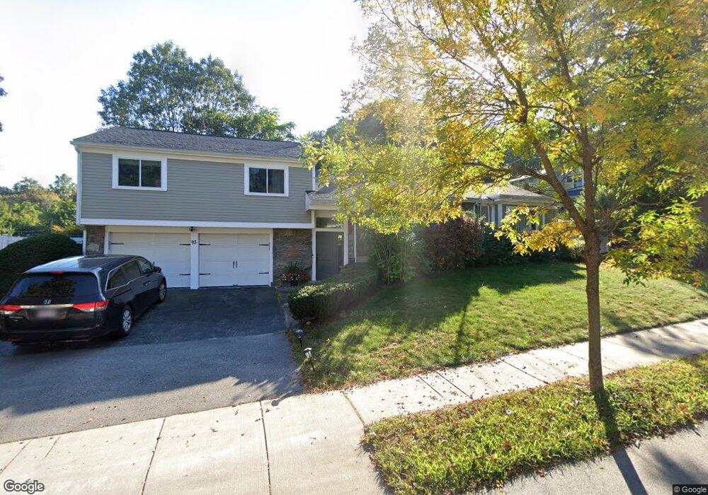
93 Vine St Chestnut Hill, MA 02467
Oak Hill NeighborhoodEstimated Value: $1,749,000 - $1,811,140
3
Beds
3
Baths
2,130
Sq Ft
$839/Sq Ft
Est. Value
About This Home
This home is located at 93 Vine St, Chestnut Hill, MA 02467 and is currently estimated at $1,787,785, approximately $839 per square foot. 93 Vine St is a home located in Middlesex County with nearby schools including Memorial Spaulding Elementary School, Oak Hill Middle School, and Newton South High School.
Ownership History
Date
Name
Owned For
Owner Type
Purchase Details
Closed on
Jan 17, 2001
Sold by
Cheng Barbara
Bought by
Mcmullen William and Adrian Elizabeth
Current Estimated Value
Purchase Details
Closed on
Feb 6, 1997
Sold by
Ho Chi and Ho Hak Ling
Bought by
Cheng Barbara
Purchase Details
Closed on
Jul 3, 1990
Sold by
Freedman Jordan
Bought by
Cheng Hak
Create a Home Valuation Report for This Property
The Home Valuation Report is an in-depth analysis detailing your home's value as well as a comparison with similar homes in the area
Home Values in the Area
Average Home Value in this Area
Purchase History
We collect this data history from publicly available records. To have your information removed, we recommend requesting removal directly through your county’s website.
| Date | Buyer | Sale Price | Title Company |
|---|---|---|---|
| Mcmullen William | $588,000 | -- | |
| Cheng Barbara | $398,000 | -- | |
| Cheng Hak | $290,000 | -- |
Source: Public Records
Mortgage History
We collect this data history from publicly available records. To have your information removed, we recommend requesting removal directly through your county’s website.
| Date | Status | Borrower | Loan Amount |
|---|---|---|---|
| Open | Cheng Hak | $407,000 | |
| Closed | Cheng Hak | $417,000 |
Source: Public Records
Tax History
| Year | Tax Paid | Tax Assessment Tax Assessment Total Assessment is a certain percentage of the fair market value that is determined by local assessors to be the total taxable value of land and additions on the property. | Land | Improvement |
|---|---|---|---|---|
| 2025 | $13,031 | $1,329,700 | $1,034,900 | $294,800 |
| 2024 | $12,600 | $1,291,000 | $1,004,800 | $286,200 |
| 2023 | $11,887 | $1,167,700 | $779,700 | $388,000 |
| 2022 | $11,374 | $1,081,200 | $721,900 | $359,300 |
| 2021 | $10,975 | $1,020,000 | $681,000 | $339,000 |
| 2020 | $10,649 | $1,020,000 | $681,000 | $339,000 |
| 2019 | $8,571 | $820,200 | $661,200 | $159,000 |
| 2018 | $8,230 | $760,600 | $599,500 | $161,100 |
| 2017 | $7,979 | $717,500 | $565,600 | $151,900 |
| 2016 | $7,631 | $670,600 | $528,600 | $142,000 |
| 2015 | $7,276 | $626,700 | $494,000 | $132,700 |
Source: Public Records
Map
Nearby Homes
- 22 Scotney Rd
- 66 Bryon Rd Unit 5
- 206 Lagrange St Unit 206
- 57 Broadlawn Park Unit 14B
- 24 Westgate Rd Unit 5
- 1307 Lagrange St Unit 1307
- 50-56 Broadlawn Park Unit 221
- 459 Dudley Rd
- 58 Donna Rd
- 447 Dudley Rd
- 99 Baldpate Hill Rd
- 458 Dudley Rd
- 73 Beverly Rd
- 72 Beverly Rd
- 923 Lagrange St
- 363 Brookline St
- 183 Old Farm Rd
- 124 Deborah Rd
- 25 Lovett Rd
- 99 Anderer Ln Unit 8
Your Personal Tour Guide
Ask me questions while you tour the home.