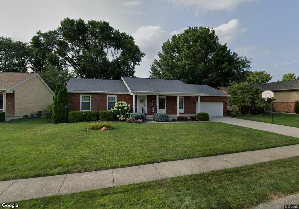
930 Bunker Ln Decatur, IL 62526
Cresthaven NeighborhoodEstimated Value: $208,000 - $254,000
Studio
--
Bath
1,600
Sq Ft
$140/Sq Ft
Est. Value
About This Home
This home is located at 930 Bunker Ln, Decatur, IL 62526 and is currently estimated at $224,627, approximately $140 per square foot. 930 Bunker Ln is a home located in Macon County with nearby schools including Parsons Elementary School, Stephen Decatur Middle School, and Our Lady of Lourdes School.
Ownership History
Date
Name
Owned For
Owner Type
Purchase Details
Closed on
Mar 1, 1990
Current Estimated Value
Create a Home Valuation Report for This Property
The Home Valuation Report is an in-depth analysis detailing your home's value as well as a comparison with similar homes in the area
Home Values in the Area
Average Home Value in this Area
Purchase History
| Date | Buyer | Sale Price | Title Company |
|---|---|---|---|
| -- | $118,500 | -- |
Source: Public Records
Tax History
| Year | Tax Paid | Tax Assessment Tax Assessment Total Assessment is a certain percentage of the fair market value that is determined by local assessors to be the total taxable value of land and additions on the property. | Land | Improvement |
|---|---|---|---|---|
| 2024 | $5,077 | $62,425 | $8,857 | $53,568 |
| 2023 | $4,672 | $57,386 | $8,142 | $49,244 |
| 2022 | $4,362 | $53,224 | $7,552 | $45,672 |
| 2021 | $4,066 | $50,198 | $7,061 | $43,137 |
| 2020 | $4,070 | $49,160 | $6,915 | $42,245 |
| 2019 | $4,070 | $49,160 | $6,915 | $42,245 |
| 2018 | $4,056 | $49,511 | $6,964 | $42,547 |
| 2017 | $4,076 | $49,787 | $7,003 | $42,784 |
| 2016 | $4,119 | $49,907 | $7,020 | $42,887 |
| 2015 | $3,919 | $49,315 | $6,937 | $42,378 |
| 2014 | $3,672 | $49,315 | $6,937 | $42,378 |
| 2013 | $3,659 | $49,315 | $6,937 | $42,378 |
Source: Public Records
Map
Nearby Homes
- 4487 Hale Dr
- 4086 Arthur Ct
- 4454 Lawson Dr
- 4616 Lawson Dr
- 4150 N Sunderland Dr
- 4051 Sheffield Dr
- 3994 N Northbrook Dr
- 288 W Brown Ave
- 630 Montgomery Ln
- 13 Lantern Ln
- 1505 W Ash Ave
- 4394 Huston Hills Rd
- 5244 Yavapai Dr
- 1182 Wedgewood Ct
- 5322 Navajo Dr
- 3902 Greenridge Dr
- 1225 W Pineview Ct
- 223 Crescent Dr
- 3888 N Taylor Ave
- 3931 N Newcastle Dr
- 910 Bunker Ln
- 931 Bunker Ln
- 960 Bunker Ln
- 951 Bunker Ln
- 901 Bunker Ln
- 961 Bunker Ln
- 4539 Palmer Ct
- 4520 Palmer Ct
- 990 Bunker Ln
- 4473 Palmer Ct
- 991 Bunker Ln
- 4508 Mission Dr
- 4540 Palmer Ct
- 4525 Cresthaven Ln
- 1010 Bunker Ln
- 4528 Mission Dr
- 1020 Bunker Ln
- 4547 Mission Dr
- 4423 Palmer Ct
- 4545 Cresthaven Ln
Your Personal Tour Guide
Ask me questions while you tour the home.