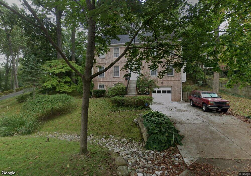
9311 Crosby Rd Silver Spring, MD 20910
Estimated Value: $1,112,000 - $1,189,000
About This Home
This home is located at 9311 Crosby Rd, Silver Spring, MD 20910 and is currently estimated at $1,157,609, approximately $369 per square foot. 9311 Crosby Rd is a home located in Montgomery County with nearby schools including Woodlin Elementary School, Sligo Middle School, and Albert Einstein High School.
Ownership History
We collect this data history from publicly available records. To have your information removed, we recommend requesting removal directly through your county’s website.
Purchase Details
Home Financials for this Owner
Home Financials are based on the most recent Mortgage that was taken out on this home.Home Values in the Area
Average Home Value in this Area
Purchase History
We collect this data history from publicly available records. To have your information removed, we recommend requesting removal directly through your county’s website.
| Date | Buyer | Sale Price | Title Company |
|---|---|---|---|
| $395,000 | -- |
Mortgage History
We collect this data history from publicly available records. To have your information removed, we recommend requesting removal directly through your county’s website.
| Date | Status | Borrower | Loan Amount |
|---|---|---|---|
| Closed | $316,000 |
Tax History
We collect this data history from publicly available records. To have your information removed, we recommend requesting removal directly through your county’s website.
| Year | Tax Paid | Tax Assessment Tax Assessment Total Assessment is a certain percentage of the fair market value that is determined by local assessors to be the total taxable value of land and additions on the property. | Land | Improvement |
|---|---|---|---|---|
| 2025 | $11,739 | $1,008,767 | -- | -- |
| 2024 | $11,889 | $969,200 | $369,500 | $599,700 |
| 2023 | $10,467 | $907,500 | $0 | $0 |
| 2022 | $9,295 | $845,800 | $0 | $0 |
| 2021 | $8,512 | $784,100 | $369,500 | $414,600 |
| 2020 | $8,512 | $784,100 | $369,500 | $414,600 |
| 2019 | $8,475 | $784,100 | $369,500 | $414,600 |
| 2018 | $8,801 | $796,700 | $330,800 | $465,900 |
| 2017 | $8,392 | $772,900 | $0 | $0 |
| 2016 | -- | $749,100 | $0 | $0 |
| 2015 | $6,980 | $725,300 | $0 | $0 |
| 2014 | $6,980 | $708,533 | $0 | $0 |
Map
- 1310 Midwood Place
- 1213 Dale Dr
- 1102 Edgevale Rd
- 9200 Watson Rd
- 1303 Ballard St
- 700 Greyrock Dr
- 8926 2nd Ave
- 8902 16th St
- 1910 Elkhart St
- 8812 2nd Ave
- 8929 Colesville Rd
- 617 Lycoming St
- 1923 Lyttonsville Rd
- 8802 2nd Ave
- 311 Ellsworth Dr
- 1900 Lyttonsville Rd
- 1900 Lyttonsville Rd
- 1900 Lyttonsville Rd
- 1900 Lyttonsville Rd
- 1900 Lyttonsville Rd
Ask me questions while you tour the home.