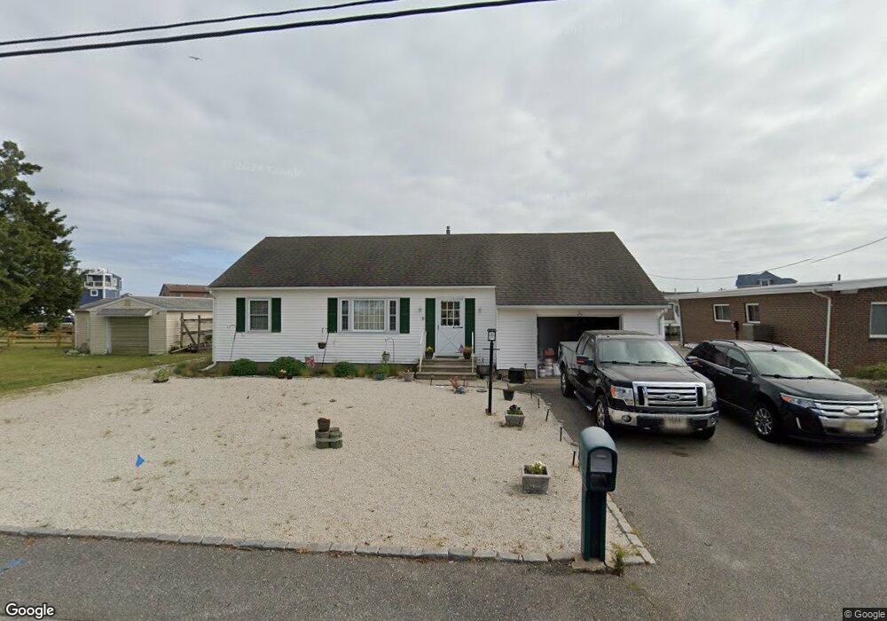
935 Capstan Dr Forked River, NJ 08731
Estimated Value: $584,804 - $758,000
3
Beds
1
Bath
1,472
Sq Ft
$450/Sq Ft
Est. Value
About This Home
This home is located at 935 Capstan Dr, Forked River, NJ 08731 and is currently estimated at $662,451, approximately $450 per square foot. 935 Capstan Dr is a home located in Ocean County with nearby schools including Lacey Township High School.
Ownership History
Date
Name
Owned For
Owner Type
Purchase Details
Closed on
Mar 4, 2015
Sold by
Difrancesco Beatrice L and Difrancesco Louis Robert
Bought by
Laferrera Philip P and Laferrera Patricia J
Current Estimated Value
Home Financials for this Owner
Home Financials are based on the most recent Mortgage that was taken out on this home.
Original Mortgage
$200,000
Outstanding Balance
$153,123
Interest Rate
3.67%
Mortgage Type
New Conventional
Estimated Equity
$509,328
Create a Home Valuation Report for This Property
The Home Valuation Report is an in-depth analysis detailing your home's value as well as a comparison with similar homes in the area
Home Values in the Area
Average Home Value in this Area
Purchase History
| Date | Buyer | Sale Price | Title Company |
|---|---|---|---|
| Laferrera Philip P | $312,500 | Allstate Title Agency Llc |
Source: Public Records
Mortgage History
| Date | Status | Borrower | Loan Amount |
|---|---|---|---|
| Open | Laferrera Philip P | $200,000 |
Source: Public Records
Tax History
| Year | Tax Paid | Tax Assessment Tax Assessment Total Assessment is a certain percentage of the fair market value that is determined by local assessors to be the total taxable value of land and additions on the property. | Land | Improvement |
|---|---|---|---|---|
| 2025 | $8,960 | $327,600 | $217,500 | $110,100 |
| 2024 | $7,761 | $327,600 | $217,500 | $110,100 |
| 2023 | $7,414 | $327,600 | $217,500 | $110,100 |
| 2022 | $7,414 | $327,600 | $217,500 | $110,100 |
| 2021 | $7,289 | $327,600 | $217,500 | $110,100 |
| 2020 | $7,057 | $327,600 | $217,500 | $110,100 |
| 2019 | $6,932 | $327,600 | $217,500 | $110,100 |
| 2018 | $6,850 | $327,600 | $217,500 | $110,100 |
| 2017 | $6,619 | $324,000 | $217,500 | $106,500 |
| 2016 | $6,593 | $324,000 | $217,500 | $106,500 |
| 2015 | $6,299 | $324,000 | $217,500 | $106,500 |
| 2014 | $6,847 | $398,100 | $302,500 | $95,600 |
Source: Public Records
Map
Nearby Homes
- 0 Windward Dr Unit NJOC2039288
- 0 Windward Dr Unit 22601526
- 915 Shenandoah Dr
- 816 Bowline Dr
- 908 Shenandoah Dr
- 715 Richmond Dr
- 709 Richmond Dr
- 814 Ensign Dr
- 1025 Capstan Dr
- 1207 Capstan Dr
- 510 Conifer Dr
- 101 Foxwood Ln
- 330 Riviera Dr
- 108 Fernwood Ln
- 127 Driftwood Ln
- 0 Union Ct Unit 22605987
- 231 Birch Ln
- 201 Nautilus Blvd
- 137 Sunset Dr Unit DR
- 307 Cedar Dr
- 939 Capstan Dr
- 933 Capstan Dr
- 931 Capstan Dr
- 944 Capstan Dr
- 950 Capstan Dr
- 819 Windward Dr
- 940 Capstan Dr
- 929 Capstan Dr
- 941 Capstan Dr
- 952 Capstan Dr
- 818 Windward Dr
- 938 Capstan Dr
- 820 Windward Dr
- 954 Capstan Dr
- 927 Capstan Dr
- 956 Capstan Dr
- 818 Tiller Dr
- 943 Capstan Dr
- 948 Capstan Dr
- 0 Windward Dr Unit NJOC2026150
Your Personal Tour Guide
Ask me questions while you tour the home.