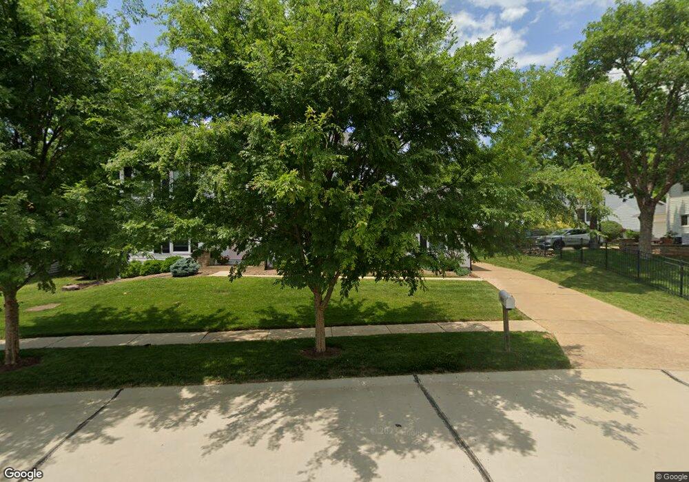
935 Kinsale Dr Ballwin, MO 63021
Estimated Value: $571,000 - $675,000
4
Beds
4
Baths
2,454
Sq Ft
$250/Sq Ft
Est. Value
About This Home
This home is located at 935 Kinsale Dr, Ballwin, MO 63021 and is currently estimated at $612,503, approximately $249 per square foot. 935 Kinsale Dr is a home located in St. Louis County with nearby schools including Barretts Elementary School, Parkway South Middle School, and Parkway South High School.
Ownership History
Date
Name
Owned For
Owner Type
Purchase Details
Closed on
Jan 11, 2016
Sold by
Knabe Kent A and Knabe Paula
Bought by
Schroeder Christopher and Schroeder Katherine
Current Estimated Value
Home Financials for this Owner
Home Financials are based on the most recent Mortgage that was taken out on this home.
Original Mortgage
$361,000
Outstanding Balance
$286,923
Interest Rate
3.94%
Mortgage Type
New Conventional
Estimated Equity
$325,580
Purchase Details
Closed on
Jul 13, 2015
Sold by
Sullivan Timothy O
Bought by
Knabe Kent
Purchase Details
Closed on
Jun 19, 2015
Sold by
Sullivan Jill B O
Bought by
Knabe Kent A
Create a Home Valuation Report for This Property
The Home Valuation Report is an in-depth analysis detailing your home's value as well as a comparison with similar homes in the area
Home Values in the Area
Average Home Value in this Area
Purchase History
| Date | Buyer | Sale Price | Title Company |
|---|---|---|---|
| Schroeder Christopher | $380,000 | Insight Title | |
| Knabe Kent | -- | None Available | |
| Knabe Kent A | -- | None Available |
Source: Public Records
Mortgage History
| Date | Status | Borrower | Loan Amount |
|---|---|---|---|
| Open | Schroeder Christopher | $361,000 |
Source: Public Records
Tax History
| Year | Tax Paid | Tax Assessment Tax Assessment Total Assessment is a certain percentage of the fair market value that is determined by local assessors to be the total taxable value of land and additions on the property. | Land | Improvement |
|---|---|---|---|---|
| 2025 | $6,594 | $115,470 | $45,300 | $70,170 |
| 2024 | $6,594 | $96,730 | $25,380 | $71,350 |
| 2023 | $6,651 | $96,730 | $25,380 | $71,350 |
| 2022 | $5,246 | $70,020 | $26,850 | $43,170 |
| 2021 | $5,217 | $70,020 | $26,850 | $43,170 |
| 2020 | $5,001 | $64,240 | $23,500 | $40,740 |
| 2019 | $4,922 | $64,240 | $23,500 | $40,740 |
| 2018 | $4,978 | $60,270 | $19,480 | $40,790 |
| 2017 | $4,769 | $60,270 | $19,480 | $40,790 |
| 2016 | $4,447 | $52,220 | $17,580 | $34,640 |
| 2015 | $4,645 | $52,220 | $17,580 | $34,640 |
| 2014 | -- | $55,980 | $10,660 | $45,320 |
Source: Public Records
Map
Nearby Homes
- 1649 Country Hill Ln
- 847 Weatherwood Dr
- 828 Carman Woods Dr
- 631 Loehr Estates Dr
- 1730 Woodmore Oaks Dr
- 1601 Country Hill Ln
- 759 Carman Woods Dr
- 3072 Arbor Station Ct
- 1117 Arbor Creek Dr Unit 3A
- 1117 Arbor Creek Dr Unit 3C
- 1141 Arbor Creek Dr Unit 3D
- 1141 Arbor Creek Dr Unit 2C
- 1602 Mauvering Ct
- 3425 Country Stone Manor Dr Unit C
- 3402 Country Stone Manor Dr Unit E
- 3402 Country Stone Manor Dr Unit F
- 701 Boxwood Manor Ct
- 622 Dougherty Terrace Dr
- 1266 Big Bend Crossing Dr
- 39 Ridgeview Circle Ct Unit 39
- 939 Kinsale Dr
- 1734 Derrynane Dr
- 1730 Derrynane Dr
- 830 Castlebar Ct
- 824 Castlebar Ct
- 836 Castlebar Ct
- 943 Kinsale Dr
- 936 Kinsale Dr
- 1726 Derrynane Dr
- 840 Castlebar Ct
- 928 Kinsale Dr
- 942 Kinsale Dr
- 947 Kinsale Dr
- 1737 Derrynane Dr
- 1733 Derrynane Dr
- 1729 Derrynane Dr
- 844 Castlebar Ct
- 924 Kinsale Dr
- 1725 Derrynane Dr
- 827 Castlebar Ct
Your Personal Tour Guide
Ask me questions while you tour the home.