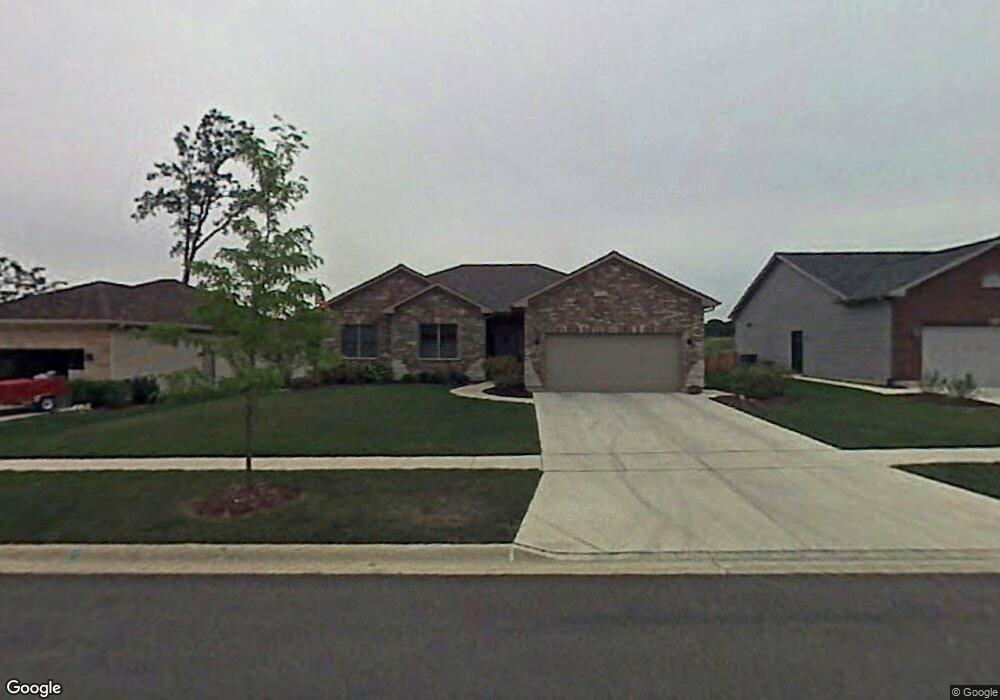
935 Randall Ct Marengo, IL 60152
Estimated Value: $320,000 - $399,000
About This Home
This home is located at 935 Randall Ct, Marengo, IL 60152 and is currently estimated at $350,487, approximately $196 per square foot. 935 Randall Ct is a home located in McHenry County with nearby schools including Riley Community Consolidated School District 18, Marengo Community High School, and Zion Lutheran School.
Ownership History
We collect this data history from publicly available records. To have your information removed, we recommend requesting removal directly through your county’s website.
Purchase Details
Home Financials for this Owner
Home Financials are based on the most recent Mortgage that was taken out on this home.Home Values in the Area
Average Home Value in this Area
Purchase History
We collect this data history from publicly available records. To have your information removed, we recommend requesting removal directly through your county’s website.
| Date | Buyer | Sale Price | Title Company |
|---|---|---|---|
| $281,695 | Chicago Title Insurance Co |
Mortgage History
We collect this data history from publicly available records. To have your information removed, we recommend requesting removal directly through your county’s website.
| Date | Status | Borrower | Loan Amount |
|---|---|---|---|
| Open | $225,355 |
Tax History
We collect this data history from publicly available records. To have your information removed, we recommend requesting removal directly through your county’s website.
| Year | Tax Paid | Tax Assessment Tax Assessment Total Assessment is a certain percentage of the fair market value that is determined by local assessors to be the total taxable value of land and additions on the property. | Land | Improvement |
|---|---|---|---|---|
| 2024 | $6,750 | $110,483 | $12,653 | $97,830 |
| 2023 | $7,999 | $98,452 | $11,275 | $87,177 |
| 2022 | $7,890 | $88,939 | $9,004 | $79,935 |
| 2021 | $5,849 | $82,404 | $8,342 | $74,062 |
| 2020 | $7,315 | $77,901 | $7,886 | $70,015 |
| 2019 | $7,759 | $74,561 | $7,548 | $67,013 |
| 2018 | $7,357 | $71,764 | $5,806 | $65,958 |
| 2017 | $7,237 | $69,370 | $5,612 | $63,758 |
| 2016 | $7,149 | $66,727 | $5,398 | $61,329 |
| 2013 | -- | $58,333 | $8,166 | $50,167 |
Map
- 870 Mildred Dr
- 737 E Grant Hwy
- 640 Cloverleaf Dr
- 816 Doral Dr
- 0 Maple St
- 214 S Prospect St
- 919 Spring Dr
- 1210 Stonegate Dr
- 5 Lindow Ave
- 8 Lindow Ave
- 6 Lindow Ave
- 720 Ridge Dr
- 0 Ratfield Rd
- 6701 Debbie Ln
- 806 Echo (Lot 22) Trail
- 704 Echo (Lot 21) Trail
- 802 Echo (Lot 23) Trail
- 0 Church Rd SE Unit MRD12644769
- 910 Echo (Lot 6) Trail
- 222 N Taylor St
- 925 Randall Ct
- 945 Randall Ct
- 915 Randall Ct
- 955 Randall Ct
- 922 Randall Ct
- 932 Randall Ct
- 916 Brookside Ct
- 910 Brookside Ct
- 912 Randall Ct
- 920 Brookside Ct Unit 20
- 922 Brookside Ct Unit 21
- 920 Brookside Ct Unit 1
- 942 Randall Ct
- 965 Randall Ct
- 912 Brookside Ct
- 713 Mildred Dr Unit 14
- 717 Mildred Dr Unit 16
- 715 Mildred Dr Unit 15
- 900 Brookside Ct Unit 17
- 715 Mildred Dr Unit 2
Ask me questions while you tour the home.