9351 Clark Rd Clarkston, MI 48346
Estimated Value: $527,000 - $635,398
3
Beds
3
Baths
2,194
Sq Ft
$258/Sq Ft
Est. Value
About This Home
This home is located at 9351 Clark Rd, Clarkston, MI 48346 and is currently estimated at $565,600, approximately $257 per square foot. 9351 Clark Rd is a home located in Oakland County with nearby schools including Andersonville Elementary School and Springfield Christian Academy.
Ownership History
Date
Name
Owned For
Owner Type
Purchase Details
Closed on
Aug 19, 2020
Sold by
Brady Susan G and Brady John P
Bought by
Vandervoord Michelle
Current Estimated Value
Home Financials for this Owner
Home Financials are based on the most recent Mortgage that was taken out on this home.
Original Mortgage
$245,000
Outstanding Balance
$215,437
Interest Rate
2.9%
Mortgage Type
New Conventional
Estimated Equity
$350,163
Purchase Details
Closed on
Jan 21, 1998
Sold by
Brady John P
Bought by
Brady John P
Create a Home Valuation Report for This Property
The Home Valuation Report is an in-depth analysis detailing your home's value as well as a comparison with similar homes in the area
Home Values in the Area
Average Home Value in this Area
Purchase History
| Date | Buyer | Sale Price | Title Company |
|---|---|---|---|
| Vandervoord Michelle | $350,000 | Ata National Title Group Llc | |
| Brady John P | -- | -- |
Source: Public Records
Mortgage History
| Date | Status | Borrower | Loan Amount |
|---|---|---|---|
| Open | Vandervoord Michelle | $245,000 |
Source: Public Records
Tax History
| Year | Tax Paid | Tax Assessment Tax Assessment Total Assessment is a certain percentage of the fair market value that is determined by local assessors to be the total taxable value of land and additions on the property. | Land | Improvement |
|---|---|---|---|---|
| 2025 | $6,368 | $304,320 | $0 | $0 |
| 2024 | $4,328 | $270,800 | $0 | $0 |
| 2023 | $4,128 | $241,420 | $0 | $0 |
| 2022 | $5,725 | $212,780 | $0 | $0 |
| 2021 | $5,265 | $176,000 | $0 | $0 |
| 2020 | $2,887 | $178,200 | $0 | $0 |
| 2018 | $3,891 | $164,200 | $49,200 | $115,000 |
| 2015 | -- | $134,400 | $0 | $0 |
| 2014 | -- | $121,100 | $0 | $0 |
| 2011 | -- | $113,500 | $0 | $0 |
Source: Public Records
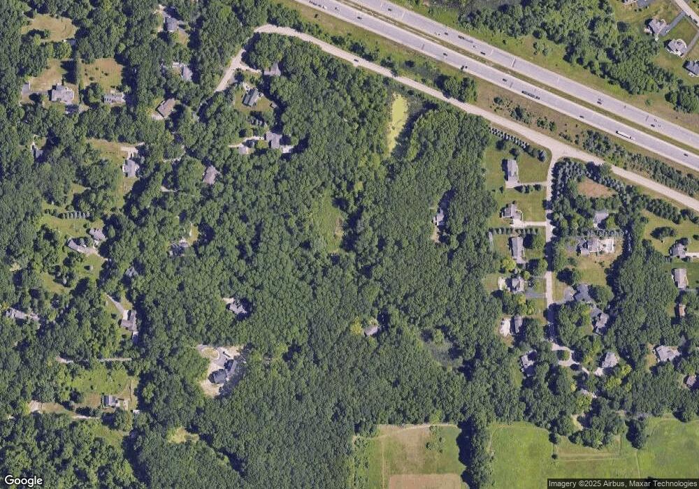
Map
Nearby Homes
- 9610 Forest Ridge Dr Unit 1
- 9748 Forest Ridge Dr Unit 32
- 9144 Big Lake Rd
- 10001 Quarry Ridge Rd
- 9889 Kingston Ridge
- 10008 Quarry Ridge Rd
- 9428 Ute Pointe Dr
- 9573 Kingsway Cir
- 9572 Kingsway Cir
- 9368 Debby Jo Dr
- 8774 Dixie Hwy
- 9580 Dixie Hwy
- 7791 Lavon Dr
- 8041 Bridge Lake Rd
- 9765 Dixie Hwy
- 10995 Big Lake Rd
- 6707 Forest Pointe Blvd
- 8146 Cotswold Ln
- 9866 Dixie Hwy
- 11236 Chyna Run
- 7074 Ridgewood Rd
- 9301 Clark Rd
- 6843 Northwind Ct
- 7003 Northwind Ct
- 6948 Ridgewood Rd
- 7163 Northwind Ct Unit 19
- 6683 Northwind Ct
- 7323 Northwind Ct Unit 20
- 7058 Ridgewood Rd
- 7058 Ridgewood Rd
- 6680 Northwind Ct
- 7485 Northwind Ct
- 7090 Ridgewood Rd
- 7102 Ridgewood Rd
- 6920 Northwind Ct
- 7040 Northwind Ct Unit 12
- 6910 Ridgewood Rd
- 7160 Northwind Ct
- 6960 Ridgewood Rd
- 6960 Ridgewood Rd
Your Personal Tour Guide
Ask me questions while you tour the home.