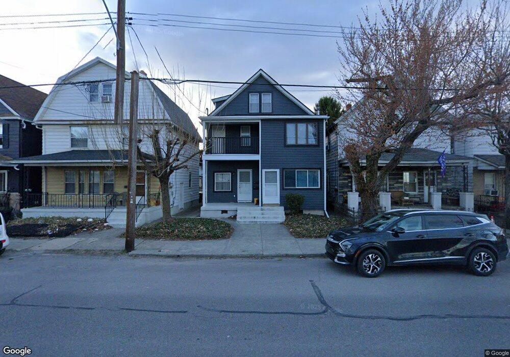
939 Providence Rd Unit 941 Scranton, PA 18508
The Plot NeighborhoodEstimated Value: $114,981 - $309,000
Studio
--
Bath
2,228
Sq Ft
$98/Sq Ft
Est. Value
About This Home
This home is located at 939 Providence Rd Unit 941, Scranton, PA 18508 and is currently estimated at $217,995, approximately $97 per square foot. 939 Providence Rd Unit 941 is a home located in Lackawanna County with nearby schools including Isaac Tripp Elementary School, Northeast Scranton Intermediate School, and Scranton High School.
Ownership History
Date
Name
Owned For
Owner Type
Purchase Details
Closed on
Jun 18, 2012
Sold by
Zak Petcavage Realty Llc
Bought by
Kropiewnicki Eric P
Current Estimated Value
Purchase Details
Closed on
May 12, 2006
Sold by
Mcgovern Rosemary
Bought by
Pinkney Warner
Home Financials for this Owner
Home Financials are based on the most recent Mortgage that was taken out on this home.
Original Mortgage
$59,916
Interest Rate
11.65%
Mortgage Type
Commercial
Create a Home Valuation Report for This Property
The Home Valuation Report is an in-depth analysis detailing your home's value as well as a comparison with similar homes in the area
Home Values in the Area
Average Home Value in this Area
Purchase History
| Date | Buyer | Sale Price | Title Company |
|---|---|---|---|
| Kropiewnicki Eric P | $25,000 | None Available | |
| Zak Petcavage Realty Llc | -- | None Available | |
| Pinkney Warner | $63,070 | None Available |
Source: Public Records
Mortgage History
| Date | Status | Borrower | Loan Amount |
|---|---|---|---|
| Previous Owner | Pinkney Warner | $59,916 |
Source: Public Records
Tax History
| Year | Tax Paid | Tax Assessment Tax Assessment Total Assessment is a certain percentage of the fair market value that is determined by local assessors to be the total taxable value of land and additions on the property. | Land | Improvement |
|---|---|---|---|---|
| 2025 | $2,948 | $9,000 | $1,700 | $7,300 |
| 2024 | $2,698 | $9,000 | $1,700 | $7,300 |
| 2023 | $2,698 | $9,000 | $1,700 | $7,300 |
| 2022 | $2,638 | $9,000 | $1,700 | $7,300 |
| 2021 | $2,638 | $9,000 | $1,700 | $7,300 |
| 2020 | $2,590 | $9,000 | $1,700 | $7,300 |
| 2019 | $2,437 | $9,000 | $1,700 | $7,300 |
| 2018 | $2,437 | $9,000 | $1,700 | $7,300 |
| 2017 | $2,395 | $9,000 | $1,700 | $7,300 |
| 2016 | $0 | $9,000 | $1,700 | $7,300 |
| 2015 | $1,807 | $9,000 | $1,700 | $7,300 |
| 2014 | -- | $9,000 | $1,700 | $7,300 |
Source: Public Records
Map
Nearby Homes
- 942 Providence Rd
- 940 Providence Rd
- 938 Providence Rd
- 905 Albright Ave
- 1108-1110 Albright Ave
- 1116 Diamond Ave
- 1121 Albright Ave
- 1130 Blair Ave
- 817 Court St
- 724 Court St
- 612 Court St
- 833 Powderly Ct
- 919 Sanderson Ave
- 1248 Providence Rd
- 1135 Lloyd St
- 1132 Lloyd St
- 1406 Dorothy St
- 1413 Bulwer St
- 1139 Sanderson Ave
- 906 Capouse Ave
- 939-941 Providence Rd
- 941 Providence Rd
- 945 Providence Rd
- 943-945 Providence Rd
- 943 Providence Rd Unit 945
- 937 Providence Rd
- 947 949 Providence Rd
- 947-949 Providence Rd
- 947 Providence Rd Unit 949
- 931 Providence Rd Unit 933
- 933 Providence Rd
- 929 Providence Rd
- 951 Providence Rd
- 944 Johler Ave Unit 946
- 927 Providence Rd
- 930 932 Johler Ave
- 955 Providence Rd Unit 961
- 930 Johler Ave Unit 932
- 952 Johler Ave
- 926 Johler Ave Unit 928
Your Personal Tour Guide
Ask me questions while you tour the home.