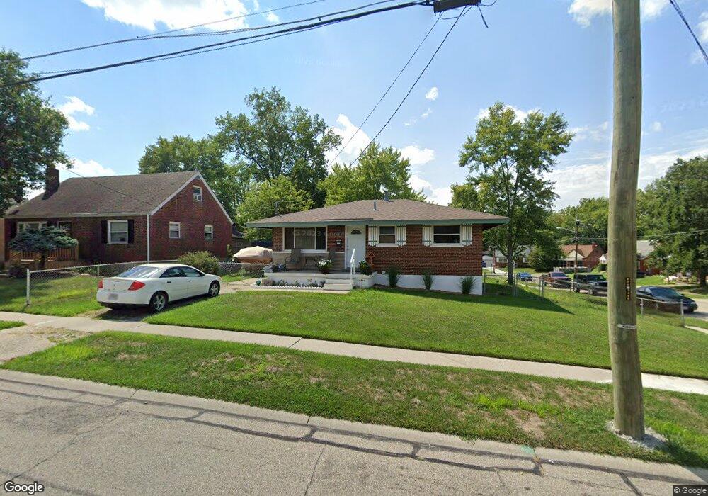
9397 Neil Dr Cincinnati, OH 45231
New Burlington NeighborhoodEstimated Value: $157,927 - $190,000
2
Beds
1
Bath
850
Sq Ft
$200/Sq Ft
Est. Value
About This Home
This home is located at 9397 Neil Dr, Cincinnati, OH 45231 and is currently estimated at $170,232, approximately $200 per square foot. 9397 Neil Dr is a home located in Hamilton County with nearby schools including Mt Healthy High School, Central Montessori Academy, and Our Lady of Grace Catholic School.
Ownership History
Date
Name
Owned For
Owner Type
Purchase Details
Closed on
Mar 30, 2015
Sold by
Mackin Hollie R
Bought by
Mackin Paul D
Current Estimated Value
Purchase Details
Closed on
Dec 19, 2000
Sold by
Denier James O and Denier Mary L
Bought by
Denier Mary L and The Mary L Denier Revocable Living Trust
Purchase Details
Closed on
Feb 27, 1998
Sold by
Brinker Robert William
Bought by
Denier James O and Denier Mary L
Create a Home Valuation Report for This Property
The Home Valuation Report is an in-depth analysis detailing your home's value as well as a comparison with similar homes in the area
Home Values in the Area
Average Home Value in this Area
Purchase History
| Date | Buyer | Sale Price | Title Company |
|---|---|---|---|
| Mackin Paul D | $31,000 | Attorney | |
| Denier Mary L | -- | -- | |
| Denier James O | $50,000 | -- |
Source: Public Records
Tax History
| Year | Tax Paid | Tax Assessment Tax Assessment Total Assessment is a certain percentage of the fair market value that is determined by local assessors to be the total taxable value of land and additions on the property. | Land | Improvement |
|---|---|---|---|---|
| 2025 | $2,498 | $45,123 | $7,452 | $37,671 |
| 2024 | $2,421 | $45,123 | $7,452 | $37,671 |
| 2023 | $2,395 | $45,123 | $7,452 | $37,671 |
| 2022 | $949 | $12,803 | $6,790 | $6,013 |
| 2021 | $944 | $12,803 | $6,790 | $6,013 |
| 2020 | $931 | $12,803 | $6,790 | $6,013 |
| 2019 | $872 | $10,850 | $5,754 | $5,096 |
| 2018 | $877 | $10,850 | $5,754 | $5,096 |
| 2017 | $844 | $10,850 | $5,754 | $5,096 |
| 2016 | $1,689 | $21,659 | $7,305 | $14,354 |
| 2015 | $1,674 | $21,659 | $7,305 | $14,354 |
| 2014 | $1,662 | $21,659 | $7,305 | $14,354 |
| 2013 | $1,738 | $23,541 | $7,938 | $15,603 |
Source: Public Records
Map
Nearby Homes
- 2547 Adams Rd
- 9287 Coogan Dr
- 9500 Ridgemoor Ave
- 9224 Comstock Dr
- 9231 Coogan Dr
- 2306 Garrison Dr
- 2497 Ontario St
- 9153 Coogan Dr
- 9636 Pippin Rd
- 2528 Mariposa St
- 2908 Libra Ln
- 2700 Compton Rd
- 2866 Windsong Dr
- 2714 Compton Rd
- 9561 Trafalgar Ct
- 2626 Ontario St
- 2930 Aries Ct
- 9369 Ranchill Dr
- 2934 Windsong Dr
- 2937 Hyannis Dr
- 9387 Neil Dr
- 2519 Garrison Dr
- 2525 Garrison Dr
- 2508 Garrison Dr
- 2495 Garrison Dr
- 2516 Garrison Dr
- 2502 Garrison Dr
- 9343 Comstock Dr
- 9388 Neil Dr
- 9349 Neil Dr
- 2522 Garrison Dr
- 2533 Garrison Dr
- 2498 Garrison Dr
- 9335 Comstock Dr
- 9378 Neil Dr
- 2530 Garrison Dr
- 2490 Garrison Dr
- 2479 Garrison Dr
- 2484 Garrison Dr
- 2539 Garrison Dr
Your Personal Tour Guide
Ask me questions while you tour the home.