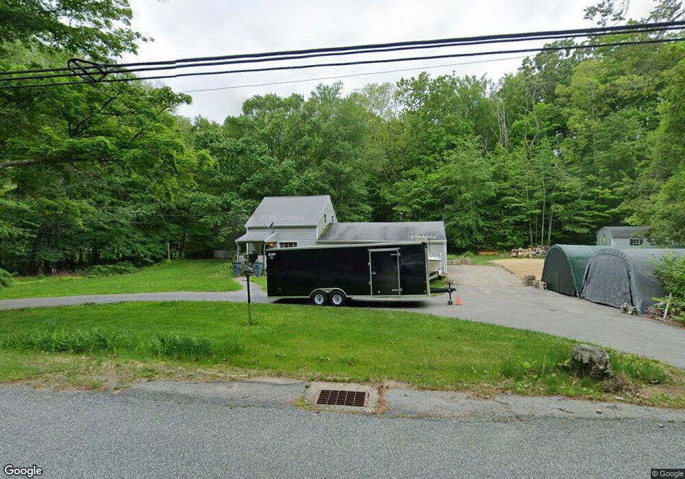
94 Brickyard Rd Preston, CT 06365
Estimated Value: $333,757 - $400,000
3
Beds
2
Baths
1,661
Sq Ft
$224/Sq Ft
Est. Value
About This Home
This home is located at 94 Brickyard Rd, Preston, CT 06365 and is currently estimated at $371,939, approximately $223 per square foot. 94 Brickyard Rd is a home located in New London County with nearby schools including Integrated Day Charter School, St. Joseph School, and St. Patrick Cathedral School.
Ownership History
Date
Name
Owned For
Owner Type
Purchase Details
Closed on
Nov 12, 2013
Sold by
Roberts Michele A
Bought by
Roberts Keith A
Current Estimated Value
Purchase Details
Closed on
Oct 19, 2011
Sold by
Roberts Raymond L
Bought by
Roberts Keith A and Roberts Michele A
Home Financials for this Owner
Home Financials are based on the most recent Mortgage that was taken out on this home.
Original Mortgage
$116,800
Interest Rate
4.15%
Create a Home Valuation Report for This Property
The Home Valuation Report is an in-depth analysis detailing your home's value as well as a comparison with similar homes in the area
Home Values in the Area
Average Home Value in this Area
Purchase History
| Date | Buyer | Sale Price | Title Company |
|---|---|---|---|
| Roberts Keith A | -- | -- | |
| Roberts Keith A | $146,000 | -- |
Source: Public Records
Mortgage History
| Date | Status | Borrower | Loan Amount |
|---|---|---|---|
| Previous Owner | Roberts Keith A | $116,800 |
Source: Public Records
Tax History
| Year | Tax Paid | Tax Assessment Tax Assessment Total Assessment is a certain percentage of the fair market value that is determined by local assessors to be the total taxable value of land and additions on the property. | Land | Improvement |
|---|---|---|---|---|
| 2025 | $3,572 | $142,240 | $54,880 | $87,360 |
| 2024 | $3,324 | $142,240 | $54,880 | $87,360 |
| 2023 | $3,264 | $142,240 | $54,880 | $87,360 |
| 2022 | $3,072 | $110,200 | $47,900 | $62,300 |
| 2021 | $2,969 | $110,200 | $47,900 | $62,300 |
| 2020 | $2,964 | $110,200 | $47,900 | $62,300 |
| 2019 | $2,913 | $110,200 | $47,900 | $62,300 |
| 2018 | $2,869 | $110,200 | $47,900 | $62,300 |
| 2017 | $2,820 | $117,500 | $47,900 | $69,600 |
| 2016 | $2,791 | $117,500 | $47,900 | $69,600 |
Source: Public Records
Map
Nearby Homes
- 1 Long Society Rd
- 168 Corning Rd
- 19 Cedarcrest Dr
- 105 Stonington Rd
- 59 Long Society Rd
- 296 Hamilton Ave Unit 25
- 278 Palmer Street Extension
- 5 Wilderness Acres
- 79 Roosevelt Ave
- 41 Palmer St Unit 3
- 0 Palmer St
- 197 Central Ave
- 188 Central Ave
- 687 N Main St
- 303 Central Ave
- 540 N Main St
- 110 N Main St
- 294 Central Ave
- 47 8th St
- 0 7th St
- 100 Brickyard Rd
- 103 Brickyard Rd
- 98 Brickyard Rd
- 80 Brickyard Rd
- 82 Brickyard Rd
- 102 Brickyard Rd
- 115 Brickyard Rd
- 74 Brickyard Rd
- 87 Brickyard Rd
- 104 Brickyard Rd
- 70 Brickyard Rd
- 62 Brickyard Rd
- 121 Brickyard Rd
- 31 Brickyard Rd
- 126 Brickyard Rd
- 50 Brickyard Rd
- 128 Brickyard Rd
- 123 Brickyard Rd
- 48 Brickyard Rd
- 147 Brickyard Rd
Your Personal Tour Guide
Ask me questions while you tour the home.