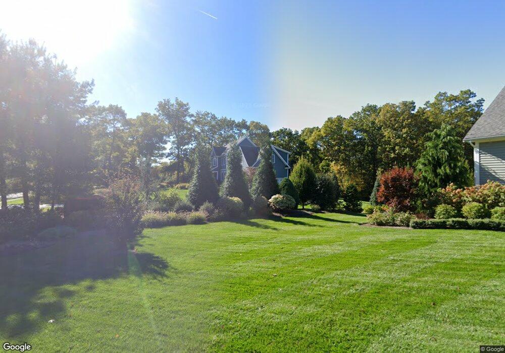
94 Cameron Way Rehoboth, MA 02769
Estimated Value: $996,756 - $1,201,000
4
Beds
3
Baths
2,889
Sq Ft
$381/Sq Ft
Est. Value
About This Home
This home is located at 94 Cameron Way, Rehoboth, MA 02769 and is currently estimated at $1,100,189, approximately $380 per square foot. 94 Cameron Way is a home with nearby schools including Dighton-Rehoboth Regional High School.
Ownership History
Date
Name
Owned For
Owner Type
Purchase Details
Closed on
Mar 8, 2019
Sold by
Brainsky Eric and Brainsky Tonya R
Bought by
Brainsky Tonya
Current Estimated Value
Home Financials for this Owner
Home Financials are based on the most recent Mortgage that was taken out on this home.
Original Mortgage
$430,000
Outstanding Balance
$372,614
Interest Rate
4.4%
Mortgage Type
New Conventional
Estimated Equity
$727,575
Purchase Details
Closed on
Jul 13, 2012
Sold by
Cameron Int Co Llc
Bought by
Brainsky Eric and Brainsky Tonya R
Create a Home Valuation Report for This Property
The Home Valuation Report is an in-depth analysis detailing your home's value as well as a comparison with similar homes in the area
Home Values in the Area
Average Home Value in this Area
Purchase History
We collect this data history from publicly available records. To have your information removed, we recommend requesting removal directly through your county’s website.
| Date | Buyer | Sale Price | Title Company |
|---|---|---|---|
| Brainsky Tonya | -- | -- | |
| Brainsky Eric | $250,000 | -- | |
| Brainsky Eric S | $250,000 | -- |
Source: Public Records
Mortgage History
We collect this data history from publicly available records. To have your information removed, we recommend requesting removal directly through your county’s website.
| Date | Status | Borrower | Loan Amount |
|---|---|---|---|
| Open | Brainsky Tonya | $430,000 |
Source: Public Records
Tax History
| Year | Tax Paid | Tax Assessment Tax Assessment Total Assessment is a certain percentage of the fair market value that is determined by local assessors to be the total taxable value of land and additions on the property. | Land | Improvement |
|---|---|---|---|---|
| 2025 | $104 | $936,500 | $242,200 | $694,300 |
| 2024 | $9,498 | $836,100 | $224,900 | $611,200 |
| 2023 | $8,398 | $788,900 | $254,100 | $534,800 |
| 2022 | $8,398 | $662,800 | $185,200 | $477,600 |
| 2021 | $8,229 | $621,500 | $169,000 | $452,500 |
| 2020 | $8,294 | $632,200 | $179,700 | $452,500 |
| 2018 | $7,005 | $585,800 | $175,400 | $410,400 |
| 2017 | $6,882 | $547,900 | $190,000 | $357,900 |
| 2016 | $6,673 | $549,200 | $197,300 | $351,900 |
| 2015 | $6,262 | $508,700 | $188,100 | $320,600 |
| 2014 | $6,204 | $498,700 | $178,800 | $319,900 |
Source: Public Records
Map
Nearby Homes
- 98 Cameron Way
- 90 Cameron Way
- 30 Cameron Way
- 32 Cameron Way
- 11 Cameron Way
- 33 Cameron Way
- 24 Cameron Way
- 86 Cameron Way
- 87 Cameron Way
- Lot 10 Johnnie's Way
- Lot 10 Johnnies Way
- Lot 12 Johnnies Way
- 82 Cameron Way
- 12 Turner Ct
- 13 Turner Ct
- 7 Johnnies Way
- 95 Cameron Way
- 78 Cameron Way
- 104 Cameron Way
- 101 Cameron Way
Your Personal Tour Guide
Ask me questions while you tour the home.