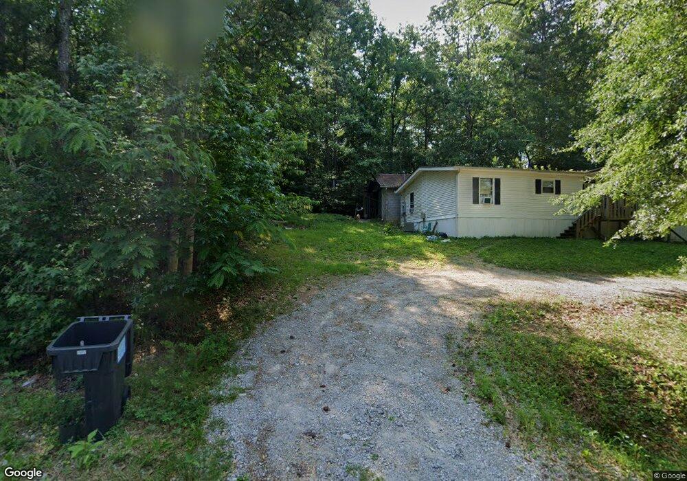
94 Lail Rd Chickamauga, GA 30707
Estimated Value: $195,945 - $267,000
Studio
1
Bath
962
Sq Ft
$238/Sq Ft
Est. Value
About This Home
This home is located at 94 Lail Rd, Chickamauga, GA 30707 and is currently estimated at $229,236, approximately $238 per square foot. 94 Lail Rd is a home located in Walker County with nearby schools including Cherokee Ridge Elementary School, Chattanooga Valley Middle School, and Ridgeland High School.
Ownership History
Date
Name
Owned For
Owner Type
Purchase Details
Closed on
Jan 2, 2018
Sold by
Pinkard Howard
Bought by
Pinkard Howard and Pinkard Margaret
Current Estimated Value
Purchase Details
Closed on
Mar 28, 2005
Sold by
Not Provided
Bought by
Pinkard Howard and Pinkard Margaret
Purchase Details
Closed on
Jan 1, 1972
Bought by
Ramsey J P
Purchase Details
Closed on
Aug 31, 1942
Sold by
Ramsey J P
Bought by
Ramsey Mary Eliza and Ramsey Heirs
Create a Home Valuation Report for This Property
The Home Valuation Report is an in-depth analysis detailing your home's value as well as a comparison with similar homes in the area
Home Values in the Area
Average Home Value in this Area
Purchase History
| Date | Buyer | Sale Price | Title Company |
|---|---|---|---|
| Pinkard Howard | -- | -- | |
| Pinkard Howard | -- | -- | |
| Ramsey J P | -- | -- | |
| Ramsey Mary Eliza | -- | -- |
Source: Public Records
Tax History
| Year | Tax Paid | Tax Assessment Tax Assessment Total Assessment is a certain percentage of the fair market value that is determined by local assessors to be the total taxable value of land and additions on the property. | Land | Improvement |
|---|---|---|---|---|
| 2025 | $374 | $115,286 | $20,507 | $94,779 |
| 2024 | $380 | $109,191 | $19,525 | $89,666 |
| 2023 | $380 | $107,395 | $17,433 | $89,962 |
| 2022 | $313 | $86,085 | $8,471 | $77,614 |
| 2021 | $472 | $71,017 | $8,993 | $62,024 |
| 2020 | $282 | $57,041 | $8,993 | $48,048 |
| 2019 | $284 | $57,041 | $8,993 | $48,048 |
| 2018 | $1,677 | $63,363 | $8,993 | $54,370 |
| 2017 | $608 | $61,903 | $7,533 | $54,370 |
| 2016 | $236 | $61,903 | $7,533 | $54,370 |
| 2015 | $530 | $50,608 | $6,452 | $44,156 |
| 2014 | $425 | $50,608 | $6,452 | $44,156 |
| 2013 | -- | $50,608 | $6,452 | $44,156 |
Source: Public Records
Map
Nearby Homes
- 97 Stones River Dr
- 57 Stones River Dr
- 48 Mill Springs
- 210 Wheeler Ave
- 0 Rogers Rd Unit 1526382
- 0 Bear Paw Trail Unit 1519259
- 0 Bear Paw Trail Unit RTC2980469
- 0 Wooten Ln
- 138 Dana Ln
- 1068 Rogers Rd
- 130 Oak Trail
- 0 Cheatham Ave Unit 1529843
- 801 Thomas Ave
- 17 W Fork Ln
- 1011 Grand Center Rd
- 111 Clebourne Ave
- 1343 N Highway 341
- 72 Rohan Ln
- 00 N Highway 341
- 260 E Tennant Cir
- Lt 246 Lail Rd Unit 246
- Lt 246 Lail Rd
- 52 Lail Rd
- Lot 19 Lail Rd
- 13 James Dr
- Lt 17 Lail Rd
- 570 N Highway 341
- 109 Lail Rd
- 143 Lail Rd
- 55 Lail Rd
- 76 Sunset Hill Rd
- 48 Sunset Hill Rd
- 550 N Highway 341
- 581 N Highway 341
- 543 N Highway 341
- 69 Sunset Hill Rd
- 43 Sunset Hill Rd
- 711 N Highway 341
- 87 Sunset Hill Rd
- 19 Hardin Rd
Your Personal Tour Guide
Ask me questions while you tour the home.