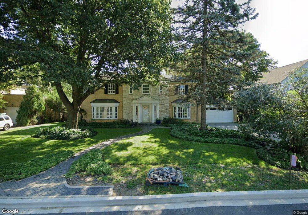
9411 Harding Ave Evanston, IL 60203
North Skokie NeighborhoodEstimated Value: $686,000 - $930,000
4
Beds
3
Baths
2,169
Sq Ft
$368/Sq Ft
Est. Value
About This Home
This home is located at 9411 Harding Ave, Evanston, IL 60203 and is currently estimated at $799,005, approximately $368 per square foot. 9411 Harding Ave is a home located in Cook County with nearby schools including Walker Elementary School, Chute Middle School, and Evanston Township High School.
Ownership History
Date
Name
Owned For
Owner Type
Purchase Details
Closed on
Apr 29, 1996
Sold by
Holm Gertrude A
Bought by
Meghrig Eissa Muhammad S and Meghrig Eissa Margaret
Current Estimated Value
Home Financials for this Owner
Home Financials are based on the most recent Mortgage that was taken out on this home.
Original Mortgage
$237,600
Outstanding Balance
$6,719
Interest Rate
7.78%
Estimated Equity
$792,286
Create a Home Valuation Report for This Property
The Home Valuation Report is an in-depth analysis detailing your home's value as well as a comparison with similar homes in the area
Home Values in the Area
Average Home Value in this Area
Purchase History
| Date | Buyer | Sale Price | Title Company |
|---|---|---|---|
| Meghrig Eissa Muhammad S | $297,000 | -- |
Source: Public Records
Mortgage History
| Date | Status | Borrower | Loan Amount |
|---|---|---|---|
| Open | Meghrig Eissa Muhammad S | $237,600 |
Source: Public Records
Tax History
| Year | Tax Paid | Tax Assessment Tax Assessment Total Assessment is a certain percentage of the fair market value that is determined by local assessors to be the total taxable value of land and additions on the property. | Land | Improvement |
|---|---|---|---|---|
| 2025 | $13,328 | $70,000 | $24,759 | $45,241 |
| 2024 | $13,328 | $62,001 | $20,633 | $41,368 |
| 2023 | $12,751 | $62,001 | $20,633 | $41,368 |
| 2022 | $12,751 | $62,001 | $20,633 | $41,368 |
| 2021 | $11,005 | $48,184 | $12,379 | $35,805 |
| 2020 | $10,937 | $48,184 | $12,379 | $35,805 |
| 2019 | $10,784 | $52,950 | $12,379 | $40,571 |
| 2018 | $13,320 | $55,413 | $10,611 | $44,802 |
| 2017 | $14,652 | $55,413 | $10,611 | $44,802 |
| 2016 | $13,887 | $55,413 | $10,611 | $44,802 |
| 2015 | $13,003 | $53,602 | $9,137 | $44,465 |
| 2014 | $12,885 | $53,602 | $9,137 | $44,465 |
| 2013 | $12,713 | $53,602 | $9,137 | $44,465 |
Source: Public Records
Map
Nearby Homes
- 9433 Crawford Ave
- 9532 Springfield Ave
- 9200 Avers Ave
- 2133 Crawford Ave
- 9526 Lawndale Ave
- 3310 Hayes St
- 9435 Central Park Ave
- 9714 Kedvale Ave
- 9235 Kildare Ave
- 9010 Pottawattami Dr
- 9433 Lincolnwood Dr
- 9433 Kostner Ave
- 2921 Simpson St
- 9200 E Prairie Rd Unit 209A
- 9010 Keeler Ave
- 9200 N East Prairie Rd Unit 203
- 98 Williamsburg Rd
- 2810 Simpson St
- 8938 Keeler Ave
- 2437 Crawford Ave
- 9419 Harding Ave
- 9405 Harding Ave
- 9425 Harding Ave
- 9425 Harding Ave
- 9412 Springfield Ave
- 3900 Emerson St
- 9420 Springfield Ave
- 9414 Harding Ave
- 9414 Harding Ave
- 9357 Harding Ave
- 9357 Harding Ave
- 9426 Springfield Ave
- 3940 Emerson St
- 9433 Harding Ave
- 9433 Harding Ave
- 9418 Harding Ave
- 9418 Harding Ave
- 9422 Harding Ave
- 9437 Harding Ave
- 9437 Harding Ave
Your Personal Tour Guide
Ask me questions while you tour the home.