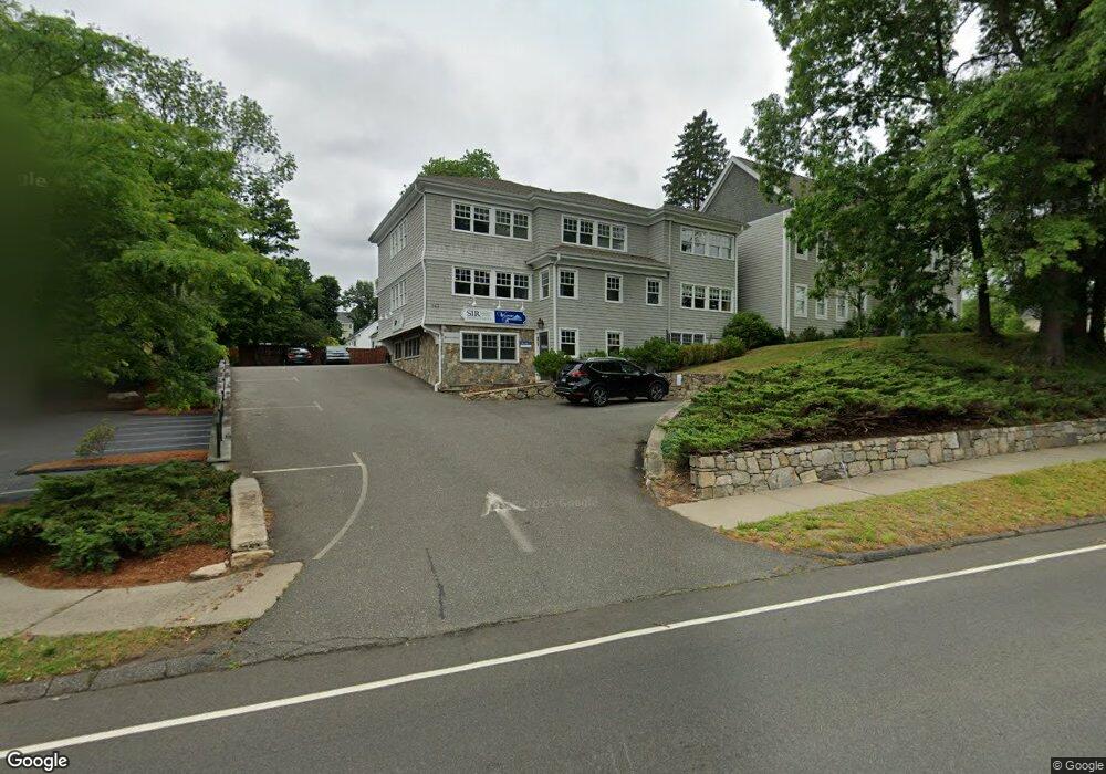
943 Post Rd E Unit 1ST Westport, CT 06880
Staples NeighborhoodEstimated Value: $1,229,613
Studio
4
Baths
5,162
Sq Ft
$238/Sq Ft
Est. Value
About This Home
This home is located at 943 Post Rd E Unit 1ST, Westport, CT 06880 and is currently estimated at $1,229,613, approximately $238 per square foot. 943 Post Rd E Unit 1ST is a home located in Fairfield County with nearby schools including Long Lots School, Bedford Middle School, and Staples High School.
Ownership History
Date
Name
Owned For
Owner Type
Purchase Details
Closed on
Nov 2, 2017
Sold by
Bensey Christina Est
Bought by
Sir 7 Forest Llc
Current Estimated Value
Purchase Details
Closed on
Apr 29, 2008
Sold by
Brose Llc
Bought by
Sir Holdings Llc
Home Financials for this Owner
Home Financials are based on the most recent Mortgage that was taken out on this home.
Original Mortgage
$1,500,000
Interest Rate
6.22%
Mortgage Type
Commercial
Purchase Details
Closed on
Feb 11, 2000
Sold by
Bgh Assoc
Bought by
Brose Llc
Create a Home Valuation Report for This Property
The Home Valuation Report is an in-depth analysis detailing your home's value as well as a comparison with similar homes in the area
Home Values in the Area
Average Home Value in this Area
Purchase History
| Date | Buyer | Sale Price | Title Company |
|---|---|---|---|
| Sir 7 Forest Llc | $755,000 | -- | |
| Sir 7 Forest Llc | $755,000 | -- | |
| Sir Holdings Llc | $2,100,000 | -- | |
| Sir Holdings Llc | $2,100,000 | -- | |
| Brose Llc | $735,000 | -- | |
| Brose Llc | $735,000 | -- |
Source: Public Records
Mortgage History
| Date | Status | Borrower | Loan Amount |
|---|---|---|---|
| Previous Owner | Brose Llc | $1,500,000 |
Source: Public Records
Tax History
| Year | Tax Paid | Tax Assessment Tax Assessment Total Assessment is a certain percentage of the fair market value that is determined by local assessors to be the total taxable value of land and additions on the property. | Land | Improvement |
|---|---|---|---|---|
| 2025 | $17,072 | $905,200 | $401,000 | $504,200 |
| 2024 | $16,855 | $905,200 | $401,000 | $504,200 |
| 2023 | $16,610 | $905,200 | $401,000 | $504,200 |
| 2022 | $16,357 | $905,200 | $401,000 | $504,200 |
| 2021 | $5,694 | $905,200 | $401,000 | $504,200 |
| 2020 | $16,252 | $972,600 | $445,500 | $527,100 |
| 2019 | $16,398 | $972,600 | $445,500 | $527,100 |
| 2018 | $8,144 | $972,600 | $445,500 | $527,100 |
| 2017 | $16,398 | $972,600 | $445,500 | $527,100 |
| 2016 | $16,398 | $972,600 | $445,500 | $527,100 |
| 2015 | $15,773 | $871,900 | $435,800 | $436,100 |
| 2014 | $15,642 | $871,900 | $435,800 | $436,100 |
Source: Public Records
Map
Nearby Homes
- 20 Hickory Dr
- 8 Iris Ln
- 785 Post Rd E Unit 302
- 783 Post Rd E Unit 201
- 781 Post Rd E Unit 102
- 781 Post Rd E Unit 104
- 4 Burr Farms Rd
- 26 Morningside Dr S
- 14 Burr School Rd
- 25 Ellery Ln
- 21 Turkey Hill Rd N
- 32 Webb Rd
- 28 Turkey Hill Rd N
- 55 Center St
- 104 Harvest Commons Unit 104
- 9 Crescent Park Rd
- 1 Flower Farm Ln
- 25 Old Rd
- 2 Ledgemoor Ln
- 49 Hillspoint Rd
Your Personal Tour Guide
Ask me questions while you tour the home.