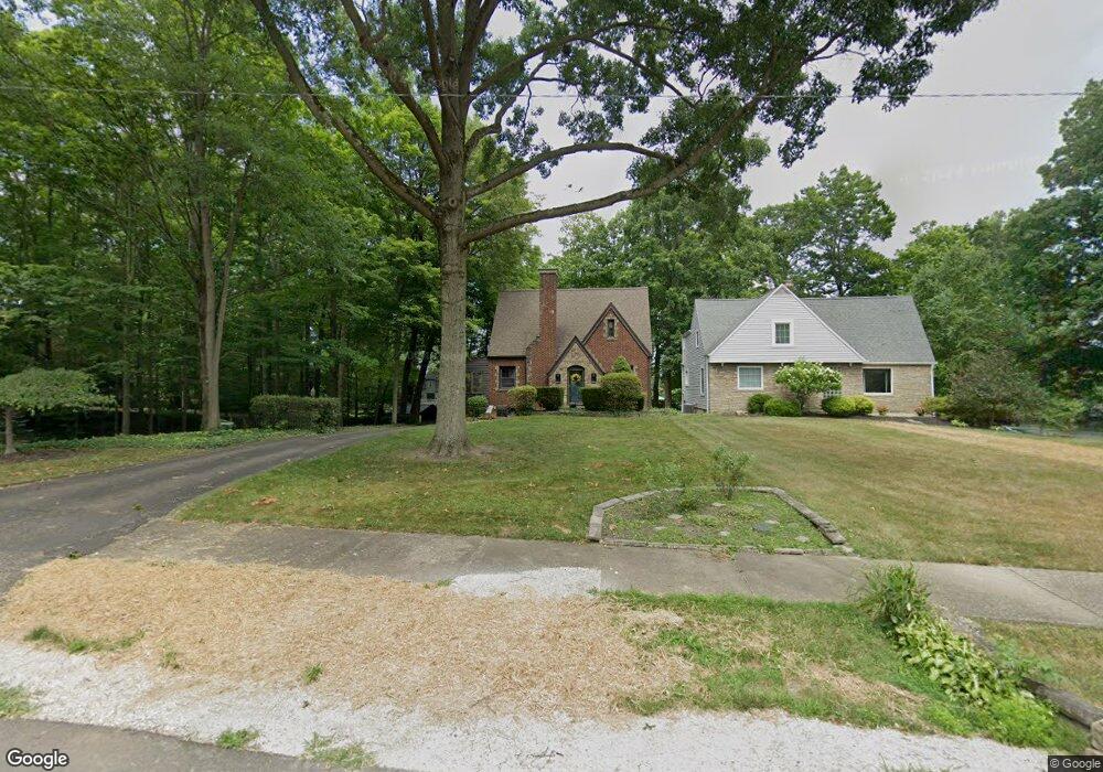
943 W Summit St Alliance, OH 44601
Estimated Value: $169,000 - $234,000
Studio
--
Bath
--
Sq Ft
0.28
Acres Lot
About This Home
This home is located at 943 W Summit St, Alliance, OH 44601 and is currently estimated at $201,500. 943 W Summit St is a home located in Stark County with nearby schools including Alliance Early Learning School, Alliance Intermediate School at Northside, and Alliance Middle School.
Ownership History
Date
Name
Owned For
Owner Type
Purchase Details
Closed on
Jul 17, 2009
Sold by
Jensen Kim R and Jensen Amy
Bought by
Barnhart Jesse A and Barnhart Brittany A
Current Estimated Value
Home Financials for this Owner
Home Financials are based on the most recent Mortgage that was taken out on this home.
Original Mortgage
$122,735
Interest Rate
5.15%
Mortgage Type
FHA
Purchase Details
Closed on
Sep 8, 2005
Sold by
Sweitzer Harold B
Bought by
Jensen Kim R
Home Financials for this Owner
Home Financials are based on the most recent Mortgage that was taken out on this home.
Original Mortgage
$109,200
Interest Rate
5.93%
Mortgage Type
Fannie Mae Freddie Mac
Create a Home Valuation Report for This Property
The Home Valuation Report is an in-depth analysis detailing your home's value as well as a comparison with similar homes in the area
Home Values in the Area
Average Home Value in this Area
Purchase History
We collect this data history from publicly available records. To have your information removed, we recommend requesting removal directly through your county’s website.
| Date | Buyer | Sale Price | Title Company |
|---|---|---|---|
| Barnhart Jesse A | $125,000 | Attorney | |
| Jensen Kim R | $136,500 | -- |
Source: Public Records
Mortgage History
We collect this data history from publicly available records. To have your information removed, we recommend requesting removal directly through your county’s website.
| Date | Status | Borrower | Loan Amount |
|---|---|---|---|
| Previous Owner | Barnhart Jesse A | $122,735 | |
| Previous Owner | Jensen Kim R | $109,200 |
Source: Public Records
Tax History
| Year | Tax Paid | Tax Assessment Tax Assessment Total Assessment is a certain percentage of the fair market value that is determined by local assessors to be the total taxable value of land and additions on the property. | Land | Improvement |
|---|---|---|---|---|
| 2025 | -- | $4,900 | $4,550 | $350 |
| 2024 | -- | $4,900 | $4,550 | $350 |
| 2023 | $153 | $3,720 | $3,470 | $250 |
| 2022 | $154 | $3,720 | $3,470 | $250 |
| 2021 | $155 | $3,720 | $3,470 | $250 |
| 2020 | $148 | $3,330 | $3,010 | $320 |
| 2019 | $146 | $3,330 | $3,010 | $320 |
Source: Public Records
Map
Nearby Homes
- 728 Fairview Place
- 430 W Oxford St
- 479 W High St
- 456 W Broadway St
- 160 Bonnieview Ave
- 1134 Glamorgan St
- 319 W Oxford St
- 233 W Cambridge St
- 1073 Parkside Dr
- 1290 Parkway Blvd
- 33 S Lincoln Ave
- 1156 Parkside Dr
- 134 W Cambridge St
- 1114 Briarcliff Ave
- 622 Overlook Dr
- 0 Northview Ave Unit 5207308
- 171 1/2 W Main St
- 807 S Union Ave
- 427 S Union Ave
- 1038 Vincent Blvd
- 943 W Summit St
- 929 W Summit St
- 957 W Summit St
- 920 W Cambridge St
- 930 W Cambridge St
- 960 W Cambridge St
- 675 Parkway Blvd
- 930 W Summit St
- 950 W Summit St
- 622 Bonnieview Ave
- 707 Parkway Blvd
- 710 Bonnieview Ave
- 980 W Cambridge St
- 720 Bonnieview Ave
- 735 Parkway Blvd
- 767 W Summit St
- 573 Lakeview Dr
- 738 Bonnieview Ave
- 961 W Cambridge St
- 961 W Cambridge St
Your Personal Tour Guide
Ask me questions while you tour the home.