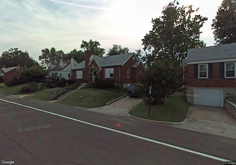
9441 Mackenzie Rd Saint Louis, MO 63123
Estimated Value: $195,000 - $248,000
About This Home
This home is located at 9441 Mackenzie Rd, Saint Louis, MO 63123 and is currently estimated at $224,884, approximately $195 per square foot. 9441 Mackenzie Rd is a home located in St. Louis County with nearby schools including Mesnier Primary School, Gotsch Intermediate School, and Rogers Middle School.
Ownership History
We collect this data history from publicly available records. To have your information removed, we recommend requesting removal directly through your county’s website.
Purchase Details
Home Financials for this Owner
Home Financials are based on the most recent Mortgage that was taken out on this home.Purchase Details
Home Financials for this Owner
Home Financials are based on the most recent Mortgage that was taken out on this home.Home Values in the Area
Average Home Value in this Area
Purchase History
We collect this data history from publicly available records. To have your information removed, we recommend requesting removal directly through your county’s website.
| Date | Buyer | Sale Price | Title Company |
|---|---|---|---|
| -- | Freedom Title Llc St Louis | ||
| -- | -- |
Mortgage History
We collect this data history from publicly available records. To have your information removed, we recommend requesting removal directly through your county’s website.
| Date | Status | Borrower | Loan Amount |
|---|---|---|---|
| Closed | $72,700 | ||
| Closed | $66,000 |
Tax History
We collect this data history from publicly available records. To have your information removed, we recommend requesting removal directly through your county’s website.
| Year | Tax Paid | Tax Assessment Tax Assessment Total Assessment is a certain percentage of the fair market value that is determined by local assessors to be the total taxable value of land and additions on the property. | Land | Improvement |
|---|---|---|---|---|
| 2025 | $2,750 | $38,780 | $12,880 | $25,900 |
| 2024 | $2,750 | $33,820 | $9,200 | $24,620 |
| 2023 | $2,658 | $33,820 | $9,200 | $24,620 |
| 2022 | $2,617 | $28,520 | $9,200 | $19,320 |
| 2021 | $2,389 | $28,520 | $9,200 | $19,320 |
| 2020 | $2,318 | $25,820 | $8,870 | $16,950 |
| 2019 | $2,314 | $25,820 | $8,870 | $16,950 |
| 2018 | $2,076 | $20,450 | $6,180 | $14,270 |
| 2017 | $2,063 | $20,450 | $6,180 | $14,270 |
| 2016 | $1,642 | $17,250 | $4,120 | $13,130 |
| 2015 | $1,649 | $17,250 | $4,120 | $13,130 |
| 2014 | $1,712 | $17,850 | $4,090 | $13,760 |
Map
- 9521 Upland Dr
- 9719 Crayford Rd Unit D
- 9740 Bexley Station Dr Unit 7G
- 9557 Cantwell Dr
- 9317 Althea Ave
- 9305 Cloverhurst Dr
- 9745 Radio Dr
- 9208 Hallock Dr
- 9938 Coventry Ln
- 9117 Tiber Ct
- 9540 Hale Dr
- 9923 Regalton Ct
- 9438 Tiber Dr
- 10014 N Marlene Dr
- 9109 Maureen Ln
- 10021 N Marlene Dr
- 9108 Fayette Ave
- 9743 Tesson Ferry Rd
- 8615 Mackenzie Rd
- 8636 Charlton Ln
- 9437 Mackenzie Rd
- 9445 Mackenzie Rd
- 9429 Mackenzie Rd
- 9451 Mackenzie Rd
- 9444 Brenda Ave
- 9438 Brenda Ave
- 9450 Brenda Ave
- 9434 Brenda Ave
- 9425 Mackenzie Rd
- 9454 Brenda Ave
- 9436 Mackenzie Rd
- 9455 Mackenzie Rd
- 9440 Mackenzie Rd
- 9430 Brenda Ave
- 9446 Mackenzie Rd
- 9458 Brenda Ave
- 9423 Mackenzie Rd
- 9556 Lydell Dr
- 9430 Mackenzie Rd
- 9465 Mackenzie Rd
Ask me questions while you tour the home.