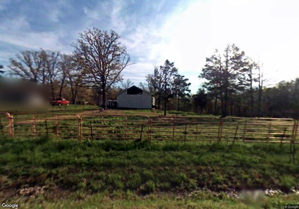
9441 State Highway Pp Poplar Bluff, MO 63901
Estimated Value: $177,426 - $392,000
About This Home
This home is located at 9441 State Highway Pp, Poplar Bluff, MO 63901 and is currently estimated at $253,475, approximately $154 per square foot. 9441 State Highway Pp is a home located in Butler County with nearby schools including Oak Grove Elementary School, Poplar Bluff Fifth & Sixth Grade Center, and Poplar Bluff Junior High School.
Ownership History
We collect this data history from publicly available records. To have your information removed, we recommend requesting removal directly through your county’s website.
Purchase Details
Home Financials for this Owner
Home Financials are based on the most recent Mortgage that was taken out on this home.Purchase History
We collect this data history from publicly available records. To have your information removed, we recommend requesting removal directly through your county’s website.
| Date | Buyer | Sale Price | Title Company |
|---|---|---|---|
| -- | Heritage Title Company |
Mortgage History
We collect this data history from publicly available records. To have your information removed, we recommend requesting removal directly through your county’s website.
| Date | Status | Borrower | Loan Amount |
|---|---|---|---|
| Open | $118,181 |
Tax History
We collect this data history from publicly available records. To have your information removed, we recommend requesting removal directly through your county’s website.
| Year | Tax Paid | Tax Assessment Tax Assessment Total Assessment is a certain percentage of the fair market value that is determined by local assessors to be the total taxable value of land and additions on the property. | Land | Improvement |
|---|---|---|---|---|
| 2025 | $487 | $11,210 | $0 | $0 |
| 2024 | $5 | $10,590 | $0 | $0 |
| 2023 | $472 | $10,590 | $0 | $0 |
| 2022 | $459 | $10,330 | $0 | $0 |
| 2021 | $459 | $10,330 | $0 | $0 |
| 2020 | $455 | $10,070 | $0 | $0 |
| 2019 | $454 | $10,070 | $0 | $0 |
| 2018 | $454 | $10,070 | $0 | $0 |
| 2017 | -- | $10,070 | $0 | $0 |
| 2016 | -- | $10,070 | $0 | $0 |
| 2015 | -- | $10,070 | $0 | $0 |
| 2014 | -- | $9,590 | $0 | $0 |
| 2012 | $365 | $9,590 | $0 | $0 |
Map
- 9.6 ac +/- W Off Hwy Tt
- 9711 Highway Pp
- 566 County Road 422
- 1181 Highway 60 W
- 6828 Morningside Dr
- 205 Batson Lake Ln
- 2810 E Old Oaks Rd
- 224 Timber Way Dr
- 224 Timber Ay Dr
- 437 S Ridgeview Ln
- 0 Boulder Trail
- 7209 Woodland Meadow Dr
- 00 Mallard Trail
- 0 Mallard Trail Unit MIS26014074
- 268 Redhead Ln
- 6201 Pinecrest Dr
- 199 Terrell Ave
- 109 Lanee Ln
- 319 Pintail Ln
- 5503 Misty Dr
- 4978 Pp Hwy
- 9478 Highway Pp
- 9478 Highway Pp
- 9478 Highway Pp
- 120 Cr 425
- 139 County Road 425
- 174 County Road 425
- 230 County Road 425
- 9238 Pp Hwy
- 9268 Highway Pp
- 124 County Road 425
- 78 Highway Tt
- 9130 Highway Pp
- 9780 Highway Pp
- 0 9 6 Ac + - Off Tt Hwy Unit MIS25050752
- 0 Meadowbrook Ln
- 327 Cr 423
- 320 County Road 423
- 327 County Road 423
- 0 Lot 24 & Pt# 18 Foxwood Pte &T Unit 9933996
Ask me questions while you tour the home.