9452 Pumice Ln Central Point, OR 97502
Estimated Value: $361,742 - $521,000
3
Beds
1
Bath
1,192
Sq Ft
$368/Sq Ft
Est. Value
About This Home
This home is located at 9452 Pumice Ln, Central Point, OR 97502 and is currently estimated at $438,686, approximately $368 per square foot. 9452 Pumice Ln is a home located in Jackson County with nearby schools including Sams Valley Elementary School, Hanby Middle School, and Crater High School.
Ownership History
Date
Name
Owned For
Owner Type
Purchase Details
Closed on
Sep 11, 2025
Sold by
Humphrey James Alvin
Bought by
James A Humphrey Revocable Living Trust and Humphrey
Current Estimated Value
Purchase Details
Closed on
Oct 31, 2017
Sold by
Humphrey Glenna May and Humphrey Glenna M
Bought by
Humphrey James Alvin and Humphrey Glenna May
Purchase Details
Closed on
Oct 5, 2015
Sold by
Humphrey Glenna M
Bought by
Humphrey Glenna M
Create a Home Valuation Report for This Property
The Home Valuation Report is an in-depth analysis detailing your home's value as well as a comparison with similar homes in the area
Purchase History
We collect this data history from publicly available records. To have your information removed, we recommend requesting removal directly through your county’s website.
| Date | Buyer | Sale Price | Title Company |
|---|---|---|---|
| James A Humphrey Revocable Living Trust | -- | None Listed On Document | |
| Humphrey James Alvin | -- | None Available | |
| Humphrey Glenna M | -- | None Available |
Source: Public Records
Tax History
| Year | Tax Paid | Tax Assessment Tax Assessment Total Assessment is a certain percentage of the fair market value that is determined by local assessors to be the total taxable value of land and additions on the property. | Land | Improvement |
|---|---|---|---|---|
| 2026 | $1,212 | $81,534 | -- | -- |
| 2025 | $1,163 | $93,409 | $29,829 | $63,580 |
| 2024 | $1,163 | $90,811 | $29,081 | $61,730 |
| 2023 | $1,128 | $80,359 | $26,839 | $53,520 |
| 2022 | $1,083 | $89,890 | $22,700 | $67,190 |
| 2021 | $1,054 | $87,396 | $22,156 | $65,240 |
| 2020 | $1,025 | $84,968 | $21,628 | $63,340 |
| 2019 | $1,003 | $80,331 | $20,611 | $59,720 |
| 2018 | $973 | $78,111 | $20,131 | $57,980 |
| 2017 | $952 | $78,111 | $20,131 | $57,980 |
| 2016 | $925 | $73,869 | $19,199 | $54,670 |
| 2015 | $893 | $73,869 | $19,199 | $54,670 |
| 2014 | $873 | $69,870 | $18,330 | $51,540 |
Source: Public Records
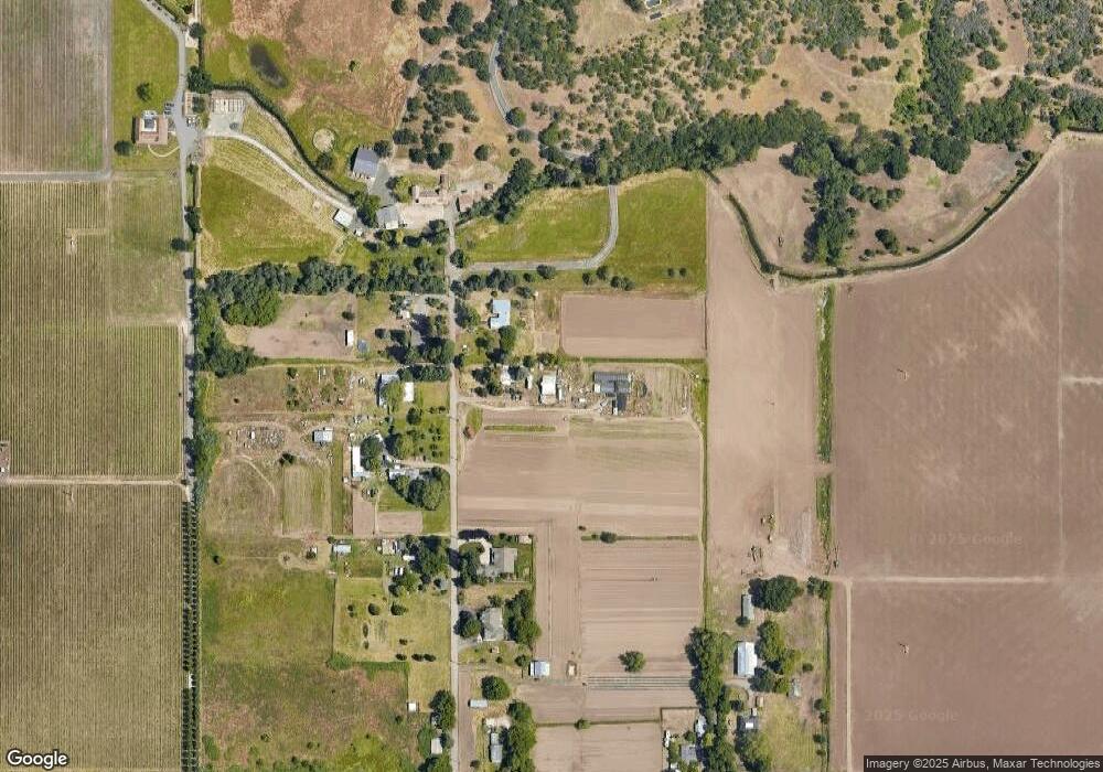
Map
Nearby Homes
- 13290 Table Rock Rd
- 7465 Table Rock Terrace
- 11322 Modoc Rd
- 10695 Killdee Ave
- 6850 Downing Rd Unit 11
- 6850 Downing Rd Unit SPC 2
- 6850 Downing Rd Unit SPC 31
- 6850 Downing Rd Unit 25
- 6850 Downing Rd Unit SPC 71
- 6850 Downing Rd Unit 24
- 594 W Gregory Rd
- 380 W Gregory Rd Unit 1
- 380 W Gregory Rd Unit 1
- 10068 SE Pavati Dr Unit 37
- 9674 SE Pavati Dr Unit 41
- 10098 SE Pavati Dr Unit 36
- 9697 SE Pavati Dr Unit 27
- 9868 SE Pavati Dr Unit 40
- 1917 Bobcat Way
- 1921 Bobcat Way
- 9486 Pumice Ln
- 9467 Pumice Ln
- 9397 Pumice Ln
- 9354 Pumice Ln
- 9363 Pumice Ln
- 9525 Pumice Ln
- 9328 Pumice Ln
- 9884 Table Rock Rd
- 10004 Table Rock Rd
- 9305 Pumice Ln
- 9906 Table Rock Rd
- 9536 Pumice Ln
- 9969 Table Rock Rd
- 10170 Table Rock Rd
- 10083 Table Rock Rd
- 10105 Table Rock Rd
- 10149 Table Rock Rd
- 10271 Table Rock Rd
- 10351 Table Rock Rd
- 10392 Table Rock Rd
Your Personal Tour Guide
Ask me questions while you tour the home.