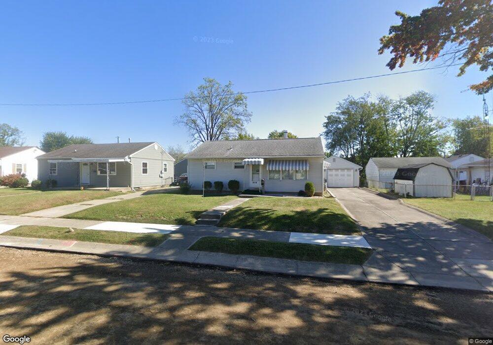
946 Barker Dr Springfield, OH 45505
Estimated Value: $112,000 - $131,000
3
Beds
1
Bath
816
Sq Ft
$151/Sq Ft
Est. Value
About This Home
This home is located at 946 Barker Dr, Springfield, OH 45505 and is currently estimated at $122,883, approximately $150 per square foot. 946 Barker Dr is a home located in Clark County with nearby schools including Mann Elementary School, Schaefer Middle School, and Springfield High School.
Ownership History
Date
Name
Owned For
Owner Type
Purchase Details
Closed on
Aug 19, 2005
Sold by
Conley Mary and Waugh Ralph
Bought by
Wilt Raymond J and Wilt Alice J
Current Estimated Value
Home Financials for this Owner
Home Financials are based on the most recent Mortgage that was taken out on this home.
Original Mortgage
$58,500
Outstanding Balance
$30,424
Interest Rate
5.8%
Mortgage Type
Fannie Mae Freddie Mac
Estimated Equity
$92,459
Create a Home Valuation Report for This Property
The Home Valuation Report is an in-depth analysis detailing your home's value as well as a comparison with similar homes in the area
Home Values in the Area
Average Home Value in this Area
Purchase History
| Date | Buyer | Sale Price | Title Company |
|---|---|---|---|
| Wilt Raymond J | $65,000 | -- |
Source: Public Records
Mortgage History
| Date | Status | Borrower | Loan Amount |
|---|---|---|---|
| Open | Wilt Raymond J | $58,500 |
Source: Public Records
Tax History
| Year | Tax Paid | Tax Assessment Tax Assessment Total Assessment is a certain percentage of the fair market value that is determined by local assessors to be the total taxable value of land and additions on the property. | Land | Improvement |
|---|---|---|---|---|
| 2025 | $737 | $34,310 | $5,280 | $29,030 |
| 2024 | $748 | $24,700 | $4,940 | $19,760 |
| 2023 | $748 | $24,700 | $4,940 | $19,760 |
| 2022 | $787 | $24,700 | $4,940 | $19,760 |
| 2021 | $428 | $16,750 | $3,400 | $13,350 |
| 2020 | $429 | $16,750 | $3,400 | $13,350 |
| 2019 | $430 | $16,750 | $3,400 | $13,350 |
| 2018 | $412 | $16,120 | $2,830 | $13,290 |
| 2017 | $412 | $17,375 | $2,832 | $14,543 |
| 2016 | $412 | $17,375 | $2,832 | $14,543 |
| 2015 | $607 | $16,822 | $2,832 | $13,990 |
| 2014 | $604 | $16,822 | $2,832 | $13,990 |
| 2013 | $598 | $16,822 | $2,832 | $13,990 |
Source: Public Records
Map
Nearby Homes
- 1011 Mount Joy St
- 2809 Morton Dr
- 2745 Share St
- 2804 Lowman St
- 2409 Mayfair Dr
- 412 Cape Cod Dr
- 631 Kramer Rd
- 360 Buxton Ave
- 374 Raffensperger Ave
- 3012 E High St
- 273 Raffensperger Ave
- 263 Raffensperger Ave
- 283 Raffensperger Ave
- 138 Lawnview Ave
- 306 S Clairmont Ave
- 266 S Clairmont Ave
- 270 S Clairmont Ave
- 302 S Clairmont Ave
- 264 S Clairmont Ave
- 280 S Clairmont Ave
- 940 Barker Dr
- 2726 Allen Dr
- 936 Barker Dr
- 915 Mount Joy St
- 911 Mount Joy St
- 941 Barker Dr
- 921 Mount Joy St
- 2706 Allen Dr
- 905 Mount Joy St
- 935 Barker Dr
- 901 Mount Joy St
- 932 Barker Dr
- 2700 Allen Dr
- 2721 Allen Dr
- 2727 Allen Dr
- 921 Barker Dr
- 833 Mount Joy St
- 2715 Allen Dr
- 928 Barker Dr
- 1005 Mount Joy St
Your Personal Tour Guide
Ask me questions while you tour the home.