946 Beachfront Dr Painesville, OH 44077
Estimated Value: $230,000 - $298,000
3
Beds
2
Baths
672
Sq Ft
$379/Sq Ft
Est. Value
About This Home
This home is located at 946 Beachfront Dr, Painesville, OH 44077 and is currently estimated at $254,965, approximately $379 per square foot. 946 Beachfront Dr is a home located in Lake County with nearby schools including Henry F. Lamuth Middle School, Riverside Junior/Senior High School, and Summit Academy Community School - Painesville.
Ownership History
Date
Name
Owned For
Owner Type
Purchase Details
Closed on
Jan 31, 2007
Sold by
Lake County Community Development Corp
Bought by
Babic Jessica Marie and Babic Jessica
Current Estimated Value
Home Financials for this Owner
Home Financials are based on the most recent Mortgage that was taken out on this home.
Original Mortgage
$35,000
Outstanding Balance
$20,726
Interest Rate
6.23%
Mortgage Type
Unknown
Estimated Equity
$234,239
Create a Home Valuation Report for This Property
The Home Valuation Report is an in-depth analysis detailing your home's value as well as a comparison with similar homes in the area
Home Values in the Area
Average Home Value in this Area
Purchase History
| Date | Buyer | Sale Price | Title Company |
|---|---|---|---|
| Babic Jessica Marie | $147,000 | Chicago Title Insurance Co |
Source: Public Records
Mortgage History
| Date | Status | Borrower | Loan Amount |
|---|---|---|---|
| Open | Babic Jessica Marie | $35,000 | |
| Open | Babic Jessica Marie | $106,500 |
Source: Public Records
Tax History
| Year | Tax Paid | Tax Assessment Tax Assessment Total Assessment is a certain percentage of the fair market value that is determined by local assessors to be the total taxable value of land and additions on the property. | Land | Improvement |
|---|---|---|---|---|
| 2025 | -- | $74,750 | $8,020 | $66,730 |
| 2024 | -- | $74,750 | $8,020 | $66,730 |
| 2023 | $5,394 | $49,500 | $6,400 | $43,100 |
| 2022 | $2,909 | $49,500 | $6,400 | $43,100 |
| 2021 | $2,920 | $49,500 | $6,400 | $43,100 |
| 2020 | $2,876 | $43,050 | $5,570 | $37,480 |
| 2019 | $2,898 | $43,050 | $5,570 | $37,480 |
| 2018 | $2,901 | $41,620 | $5,220 | $36,400 |
| 2017 | $2,895 | $41,620 | $5,220 | $36,400 |
| 2016 | $2,549 | $41,620 | $5,220 | $36,400 |
| 2015 | $2,382 | $41,620 | $5,220 | $36,400 |
| 2014 | $2,421 | $41,620 | $5,220 | $36,400 |
| 2013 | $2,366 | $41,620 | $5,220 | $36,400 |
Source: Public Records
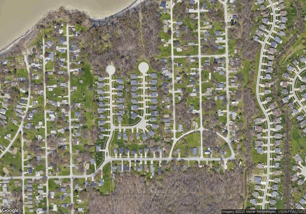
Map
Nearby Homes
- 27 Kenilworth Ave
- 909 Lake Terrace Dr
- 0 Bellevue Ave Unit 5152736
- 1000 Ardoye Dr
- 1021 Outrigger Cove
- 0 Fremont Ave Unit 5152717
- 783 Outrigger Cove
- 972 Tradewinds Cove Unit 5D
- 983 Tradewinds Cove Unit 4A
- 856 Beech Ave
- 594 Prestwick Path
- 556 Greenside Dr
- 2041 Marsh Ln Unit 2041
- 726 N Creek Dr
- 1598 Bogie Ln
- 399 Sandtrap Cir
- 592 Sand Trap Cir
- 375 Golfway Dr
- 4 Lyndale Dr
- 575 Park Rd
- 952 Beachfront Dr
- 942 Beachfront Dr
- 899 Robinhood Ave
- 938 Beachfront Dr
- 958 Beachfront Dr
- 907 Robinhood Ave
- 907 Robinhood Dr
- 897 Robinhood Ave
- 947 Beachfront Dr
- 962 Beachfront Dr
- 887 Robinhood Ave
- 955 Beachfront Dr
- 919 Robinhood Ave
- 932 Beachfront Dr
- 883 Robinhood Ave
- 959 Beachfront Dr
- 939 Beachfront Dr
- 925 Robinhood Ave
- 968 Beachfront Dr
- 908 Robinhood Ave
Your Personal Tour Guide
Ask me questions while you tour the home.