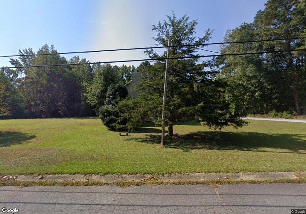
95 Boulder Dr Carrollton, GA 30117
Estimated Value: $309,000 - $347,000
About This Home
This home is located at 95 Boulder Dr, Carrollton, GA 30117 and is currently estimated at $322,957, approximately $160 per square foot. 95 Boulder Dr is a home located in Carroll County with nearby schools including Central Elementary School, Central Middle School, and Central High School.
Ownership History
We collect this data history from publicly available records. To have your information removed, we recommend requesting removal directly through your county’s website.
Purchase Details
Purchase Details
Purchase Details
Home Financials for this Owner
Home Financials are based on the most recent Mortgage that was taken out on this home.Purchase Details
Purchase Details
Purchase Details
Home Values in the Area
Average Home Value in this Area
Purchase History
We collect this data history from publicly available records. To have your information removed, we recommend requesting removal directly through your county’s website.
| Date | Buyer | Sale Price | Title Company |
|---|---|---|---|
| $305,000 | -- | ||
| -- | -- | ||
| $136,000 | -- | ||
| $96,000 | -- | ||
| $112,900 | -- | ||
| $85,000 | -- |
Mortgage History
We collect this data history from publicly available records. To have your information removed, we recommend requesting removal directly through your county’s website.
| Date | Status | Borrower | Loan Amount |
|---|---|---|---|
| Previous Owner | $133,536 |
Tax History
We collect this data history from publicly available records. To have your information removed, we recommend requesting removal directly through your county’s website.
| Year | Tax Paid | Tax Assessment Tax Assessment Total Assessment is a certain percentage of the fair market value that is determined by local assessors to be the total taxable value of land and additions on the property. | Land | Improvement |
|---|---|---|---|---|
| 2025 | $2,267 | $101,346 | $6,000 | $95,346 |
| 2024 | $2,293 | $101,346 | $6,000 | $95,346 |
| 2023 | $2,293 | $92,840 | $6,000 | $86,840 |
| 2022 | $1,640 | $75,640 | $6,000 | $69,640 |
| 2021 | $1,502 | $65,819 | $6,000 | $59,819 |
| 2020 | $1,396 | $59,813 | $6,000 | $53,813 |
| 2019 | $1,408 | $59,906 | $10,000 | $49,906 |
| 2018 | $1,332 | $54,714 | $10,000 | $44,714 |
| 2017 | $1,307 | $53,632 | $10,000 | $43,632 |
| 2016 | $1,308 | $53,632 | $10,000 | $43,632 |
| 2015 | $1,053 | $37,647 | $4,800 | $32,848 |
| 2014 | $1,057 | $37,648 | $4,800 | $32,848 |
Map
- 30 Sunny Brook Ln
- 715 Old Camp Church Rd
- 125 Woodbine Dr
- 47 Mcguire Rd
- 420 Piney Grove Rd
- 75 Plantation Ave
- 80 Camp Ln
- 190 Fairlawn Dr
- 1183 Tyus Carrollton Rd
- 115 Fairlawn Dr
- 95 Fairlawn Dr
- 105 Summerfield Place Dr
- 115 Summerfield Place Dr
- 103 Summerfield Place Dr
- 101 Summerfield Place Dr
- 120 Summerfield Place Dr
- 112 Summerfield Place Dr
- 118 Summerfield Place Dr
- 0 Buffalo Creek Rd Unit 25806402
- 0 Buffalo Creek Rd Unit 10624169
- 95 Boulder Dr
- 78 Boulder Dr
- 81 Boulder Dr
- 34 Wooddale Ln
- 22 Wooddale Ln
- 44 Wooddale Ln
- 62 Boulder Dr
- 54 Wooddale Ln
- 46 Boulder Dr
- 515 Old Camp Church Rd
- 555 Old Camp Church Rd
- 59 Boulder Dr
- 74 Wooddale Ln Unit 16
- 74 Wooddale Ln
- 577 Old Camp Church Rd
- 83 Wooddale Ln
- 158 Lee Rd
- 549 Old Camp Church Rd
- 76 Lee Rd
- 589 Old Camp Church Rd
Ask me questions while you tour the home.