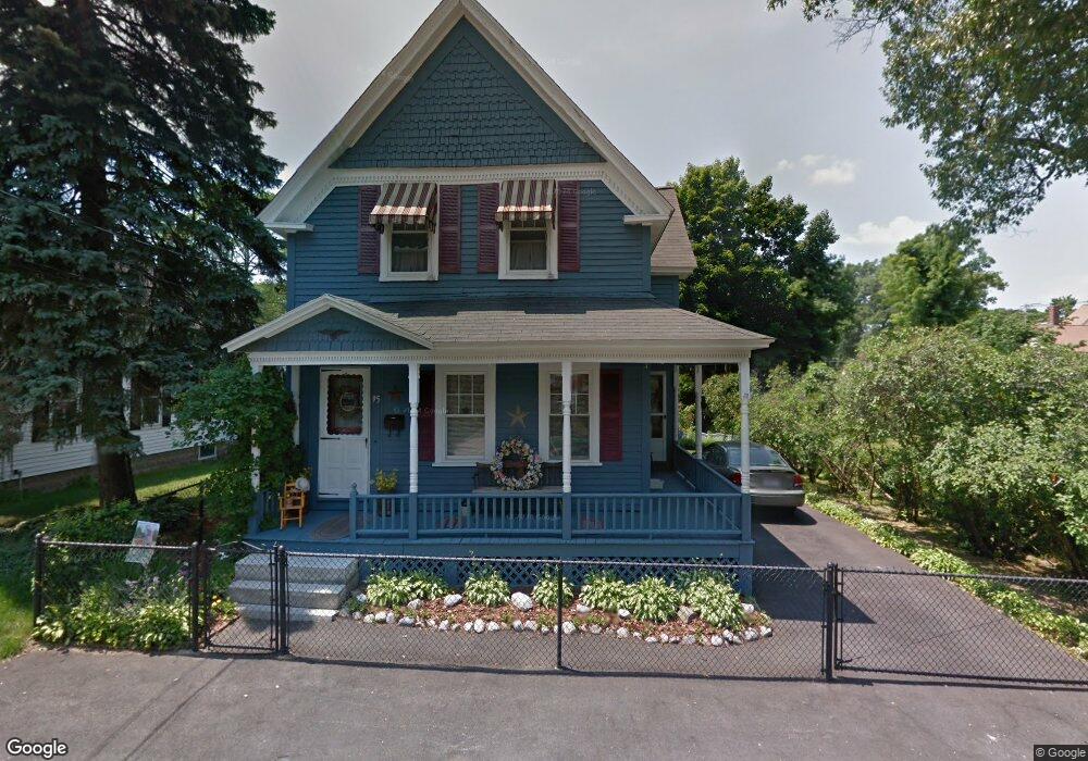
95 Corey St Lowell, MA 01851
Highlands NeighborhoodEstimated Value: $445,000 - $539,000
3
Beds
1
Bath
1,399
Sq Ft
$346/Sq Ft
Est. Value
About This Home
This home is located at 95 Corey St, Lowell, MA 01851 and is currently estimated at $483,440, approximately $345 per square foot. 95 Corey St is a home located in Middlesex County with nearby schools including Charles W. Morey Elementary School, Dr. Gertrude Bailey Elementary School, and Abraham Lincoln Elementary School.
Ownership History
Date
Name
Owned For
Owner Type
Purchase Details
Closed on
Jul 31, 1968
Bought by
Mcmeniman Paul J and Mcmeniman Maureen J
Current Estimated Value
Create a Home Valuation Report for This Property
The Home Valuation Report is an in-depth analysis detailing your home's value as well as a comparison with similar homes in the area
Home Values in the Area
Average Home Value in this Area
Purchase History
| Date | Buyer | Sale Price | Title Company |
|---|---|---|---|
| Mcmeniman Paul J | $11,500 | -- |
Source: Public Records
Tax History
| Year | Tax Paid | Tax Assessment Tax Assessment Total Assessment is a certain percentage of the fair market value that is determined by local assessors to be the total taxable value of land and additions on the property. | Land | Improvement |
|---|---|---|---|---|
| 2025 | $5,023 | $437,500 | $168,800 | $268,700 |
| 2024 | $4,893 | $410,800 | $157,700 | $253,100 |
| 2023 | $4,595 | $370,000 | $137,200 | $232,800 |
| 2022 | $4,265 | $336,100 | $124,700 | $211,400 |
| 2021 | $3,972 | $295,100 | $108,400 | $186,700 |
| 2020 | $3,731 | $279,300 | $102,000 | $177,300 |
| 2019 | $3,353 | $238,800 | $86,700 | $152,100 |
| 2018 | $3,278 | $227,800 | $82,600 | $145,200 |
| 2017 | $3,162 | $211,900 | $75,100 | $136,800 |
| 2016 | $3,034 | $200,100 | $75,000 | $125,100 |
| 2015 | $2,952 | $190,700 | $75,000 | $115,700 |
| 2013 | $2,706 | $180,300 | $78,600 | $101,700 |
Source: Public Records
Map
Nearby Homes
- 24 Brouilette St Unit A
- 1975 Middlesex St Unit 51
- 2 Walter G Wiede St Unit 1
- 5 Augusta Way
- 616 Princeton Blvd Unit 25
- 16 Tobin Ave Unit 18
- 54 Shirley Ave
- 527 Pawtucket Blvd Unit 207
- 95 Prescott Dr
- 63 Prescott Dr Unit 63
- 96 Richardson Rd Unit B28
- 255 North Rd Unit 18
- 255 North Rd Unit 31
- 255 North Rd Unit 130
- 20 Sandy Ln
- 5 Kennedy Dr Unit 3
- 29 Middlesex St Unit 1
- 1215 Pawtucket Blvd Unit 19
- 16 Washington St
- 339 Pawtucket Blvd Unit 19
- 99 Corey St
- 87 Corey St
- 102 Wightman St
- 844 Princeton Blvd
- 850 Princeton Blvd
- 106 Wightman St Unit 108
- 100 Corey St
- 111 Corey St
- 830 Princeton Blvd
- 856 Princeton Blvd
- 104 Corey St
- 110 Wightman St
- 110 Wightman St
- 116 Corey St
- 824 Princeton Blvd
- 119 Corey St
- 843 Princeton Blvd
- 114 Wightman St
- 103 Wightman St
- 818 Princeton Blvd
Your Personal Tour Guide
Ask me questions while you tour the home.