95 E St Wellfleet, MA 2667
Estimated Value: $571,000 - $1,147,000
About This Home
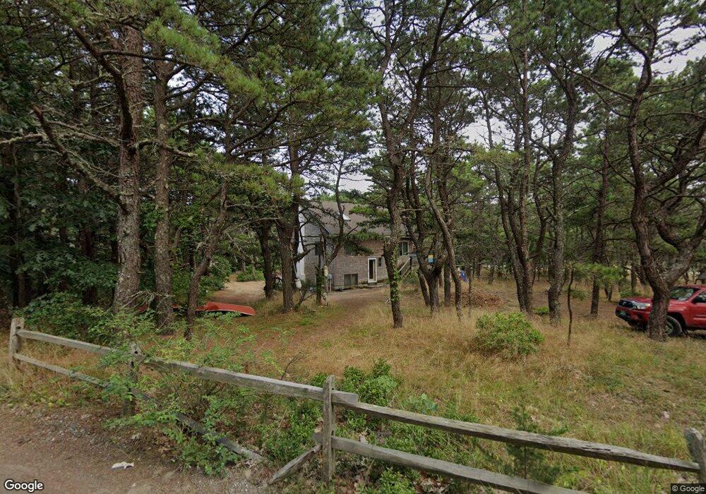
This home is located at 95 E St, Wellfleet, MA 2667 and is currently estimated at $804,653, approximately $753 per square foot. 95 E St is a home located in Barnstable County with nearby schools including Wellfleet Elementary School, Nauset Regional Middle School, and Nauset Regional High School.
Ownership History
We collect this data history from publicly available records. To have your information removed, we recommend requesting removal directly through your county’s website.
Purchase Details
Purchase Details
Home Values in the Area
Average Home Value in this Area
Purchase History
We collect this data history from publicly available records. To have your information removed, we recommend requesting removal directly through your county’s website.
| Date | Buyer | Sale Price | Title Company |
|---|---|---|---|
| $190,000 | None Available | ||
| $190,000 | None Available | ||
| -- | -- | ||
| -- | -- |
Mortgage History
We collect this data history from publicly available records. To have your information removed, we recommend requesting removal directly through your county’s website.
| Date | Status | Borrower | Loan Amount |
|---|---|---|---|
| Previous Owner | $5,220 | ||
| Previous Owner | $98,000 |
Tax History
We collect this data history from publicly available records. To have your information removed, we recommend requesting removal directly through your county’s website.
| Year | Tax Paid | Tax Assessment Tax Assessment Total Assessment is a certain percentage of the fair market value that is determined by local assessors to be the total taxable value of land and additions on the property. | Land | Improvement |
|---|---|---|---|---|
| 2025 | $5,287 | $743,600 | $499,000 | $244,600 |
| 2024 | $4,892 | $716,200 | $475,200 | $241,000 |
| 2023 | $4,311 | $619,400 | $402,800 | $216,600 |
| 2022 | $3,972 | $510,600 | $353,300 | $157,300 |
| 2021 | $3,543 | $450,800 | $315,400 | $135,400 |
| 2020 | $3,529 | $455,400 | $321,900 | $133,500 |
| 2019 | $3,485 | $450,900 | $321,900 | $129,000 |
| 2018 | $3,232 | $450,100 | $321,900 | $128,200 |
| 2017 | $3,046 | $449,300 | $321,900 | $127,400 |
| 2016 | $3,371 | $493,600 | $378,600 | $115,000 |
| 2015 | $2,513 | $370,700 | $256,500 | $114,200 |
Map
- 1005 3rd Ave
- 90 Ring Rd
- 344 King Phillip Rd
- 205 Blue Heron Rd
- 125 Pleasant Point Rd
- 40 Leilla Rich Dr
- 260 Blue Heron Rd
- 285 Blue Heron Rd
- 15 Barker St
- 180 King Phillip Rd
- 20 Fresh Brook Ln Unit A
- 20 Fresh Brook Ln Unit A
- 100 Hiawatha Rd Unit B
- 35 Tecumseh Rd
- 210 West Rd Unit C-26
- 45 Old Paine Hollow Rd
- 200 Pilgrim Spring Rd Unit B
- 1937 State Highway Route 6 Unit E
- 1937 State Highway Route 6 Unit E
- 95 Indian Neck Rd
Ask me questions while you tour the home.