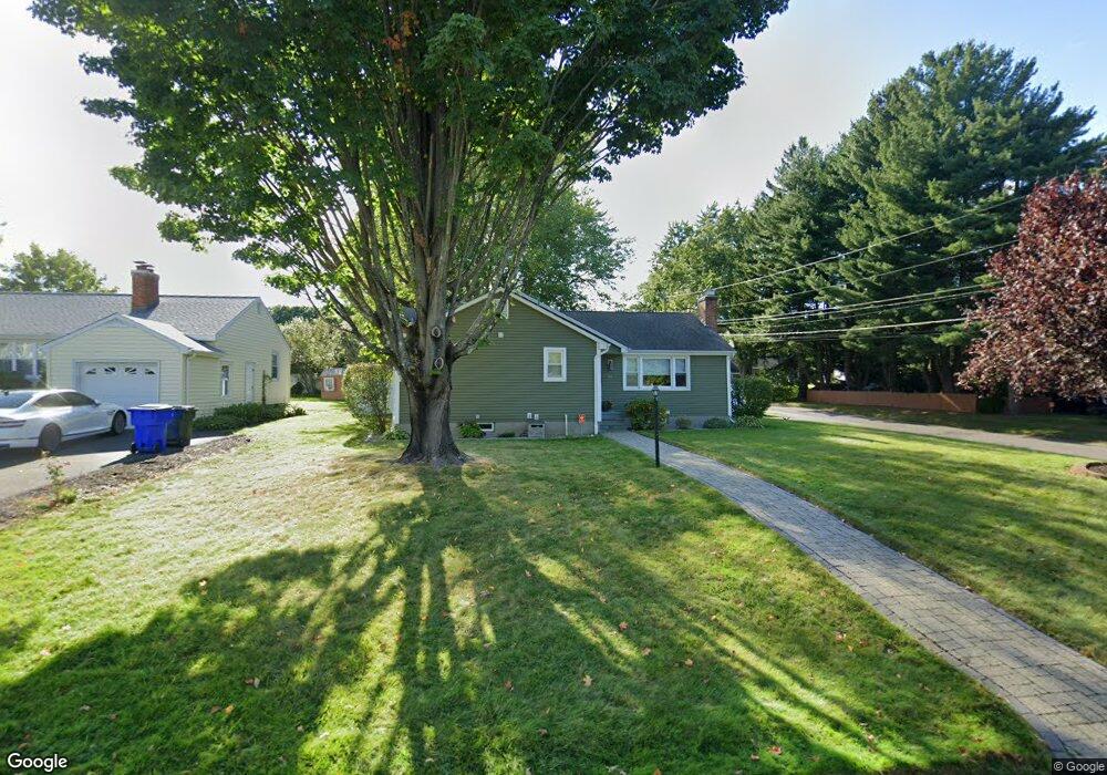
95 Olney Rd Wethersfield, CT 06109
Estimated Value: $400,000 - $453,000
About This Home
This home is located at 95 Olney Rd, Wethersfield, CT 06109 and is currently estimated at $422,862, approximately $322 per square foot. 95 Olney Rd is a home located in Hartford County with nearby schools including Emerson-Williams School, Silas Deane Middle School, and Wethersfield High School.
Ownership History
We collect this data history from publicly available records. To have your information removed, we recommend requesting removal directly through your county’s website.
Purchase Details
Home Financials for this Owner
Home Financials are based on the most recent Mortgage that was taken out on this home.Purchase Details
Home Financials for this Owner
Home Financials are based on the most recent Mortgage that was taken out on this home.Purchase Details
Purchase Details
Home Values in the Area
Average Home Value in this Area
Purchase History
We collect this data history from publicly available records. To have your information removed, we recommend requesting removal directly through your county’s website.
| Date | Buyer | Sale Price | Title Company |
|---|---|---|---|
| $256,000 | -- | ||
| $265,000 | -- | ||
| $170,000 | -- | ||
| $146,500 | -- |
Mortgage History
We collect this data history from publicly available records. To have your information removed, we recommend requesting removal directly through your county’s website.
| Date | Status | Borrower | Loan Amount |
|---|---|---|---|
| Open | $51,000 | ||
| Previous Owner | $212,000 | ||
| Previous Owner | $169,000 |
Tax History
We collect this data history from publicly available records. To have your information removed, we recommend requesting removal directly through your county’s website.
| Year | Tax Paid | Tax Assessment Tax Assessment Total Assessment is a certain percentage of the fair market value that is determined by local assessors to be the total taxable value of land and additions on the property. | Land | Improvement |
|---|---|---|---|---|
| 2025 | $10,372 | $251,630 | $94,740 | $156,890 |
| 2024 | $7,074 | $163,680 | $73,500 | $90,180 |
| 2023 | $6,839 | $163,680 | $73,500 | $90,180 |
| 2022 | $6,724 | $163,680 | $73,500 | $90,180 |
| 2021 | $6,657 | $163,680 | $73,500 | $90,180 |
| 2020 | $6,660 | $163,680 | $73,500 | $90,180 |
| 2019 | $6,668 | $163,680 | $73,500 | $90,180 |
| 2018 | $6,578 | $161,300 | $71,300 | $90,000 |
| 2017 | $6,415 | $161,300 | $71,300 | $90,000 |
| 2016 | $6,217 | $161,300 | $71,300 | $90,000 |
| 2015 | $6,160 | $161,300 | $71,300 | $90,000 |
| 2014 | $5,926 | $161,300 | $71,300 | $90,000 |
Map
- 120 Mapleside Dr
- 129 Midwell Rd
- 72 Jameswell Rd
- 249 Dale Rd
- 60 Linden St
- 597 Wolcott Hill Rd
- 742 Wolcott Hill Rd
- 165 Stillwold Dr
- 44 Beverly Rd
- 181 Brimfield Rd
- 22 Westwood Dr
- 410 Westwood Hill
- 37 Chamberlain Rd
- 35 Stillwold Dr
- 81 Belcher Rd
- 33 Byrd Rd
- 340 Wolcott Hill Rd
- 99 Westlook Rd
- 76 Collier Rd
- 76 Somerset St
- 108 Mapleside Dr
- 102 Mapleside Dr
- 114 Mapleside Dr
- 96 Mapleside Dr
- 105 Olney Rd
- 111 Olney Rd
- 101 Olney Rd
- 107 Mapleside Dr
- 117 Olney Rd
- 113 Mapleside Dr
- 101 Mapleside Dr
- 126 Mapleside Dr
- 119 Mapleside Dr
- 95 Mapleside Dr
- 123 Olney Rd
- 84 Mapleside Dr
- 125 Mapleside Dr
- 132 Mapleside Dr
- 83 Olney Rd
- 129 Olney Rd
Ask me questions while you tour the home.