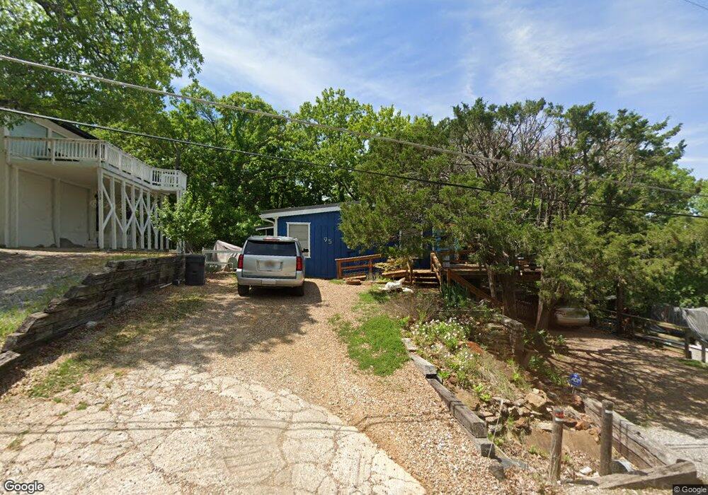
95 Queens Dr Pottsboro, TX 75076
Estimated Value: $292,015 - $499,000
3
Beds
2
Baths
1,550
Sq Ft
$247/Sq Ft
Est. Value
About This Home
This home is located at 95 Queens Dr, Pottsboro, TX 75076 and is currently estimated at $383,254, approximately $247 per square foot. 95 Queens Dr is a home located in Grayson County with nearby schools including Pottsboro Elementary School, Pottsboro Middle School, and Pottsboro High School.
Ownership History
Date
Name
Owned For
Owner Type
Purchase Details
Closed on
Apr 1, 2024
Sold by
Woodiel Kelly Bevis
Bought by
Purdy Donald
Current Estimated Value
Purchase Details
Closed on
Dec 30, 2016
Sold by
Dutton John D and Dutton Ann K
Bought by
Woodiel Kelly Bevis and Purdy Donald
Home Financials for this Owner
Home Financials are based on the most recent Mortgage that was taken out on this home.
Original Mortgage
$193,600
Interest Rate
3.94%
Mortgage Type
New Conventional
Purchase Details
Closed on
Feb 1, 2006
Sold by
Walbert George H and Walbert Jo Beverly
Bought by
Dutton John D and Dutton Ann K
Create a Home Valuation Report for This Property
The Home Valuation Report is an in-depth analysis detailing your home's value as well as a comparison with similar homes in the area
Home Values in the Area
Average Home Value in this Area
Purchase History
| Date | Buyer | Sale Price | Title Company |
|---|---|---|---|
| Purdy Donald | -- | Chapin Title Company | |
| Woodiel Kelly Bevis | -- | None Available | |
| Dutton John D | -- | None Available |
Source: Public Records
Mortgage History
| Date | Status | Borrower | Loan Amount |
|---|---|---|---|
| Previous Owner | Woodiel Kelly Bevis | $193,600 |
Source: Public Records
Tax History
| Year | Tax Paid | Tax Assessment Tax Assessment Total Assessment is a certain percentage of the fair market value that is determined by local assessors to be the total taxable value of land and additions on the property. | Land | Improvement |
|---|---|---|---|---|
| 2025 | $1,968 | $216,469 | $64,198 | $152,271 |
| 2024 | $3,095 | $223,399 | $64,117 | $159,282 |
| 2023 | $2,767 | $199,387 | $44,352 | $155,035 |
| 2022 | $2,795 | $177,570 | $35,530 | $142,040 |
| 2021 | $2,137 | $131,408 | $25,300 | $106,108 |
| 2020 | $2,277 | $134,870 | $26,230 | $108,640 |
| 2019 | $2,040 | $115,328 | $29,020 | $86,308 |
| 2018 | $1,913 | $106,752 | $23,440 | $83,312 |
| 2017 | $1,780 | $98,048 | $23,440 | $74,608 |
| 2016 | $1,947 | $95,654 | $23,440 | $72,214 |
| 2015 | $1,515 | $82,035 | $23,440 | $58,595 |
| 2014 | -- | $79,928 | $23,440 | $56,488 |
Source: Public Records
Map
Nearby Homes
- 86 Queens Dr
- 260 Susan Dr
- 336 Kirk Ave
- 25 Erin Dr
- 491 Black Forest Dr
- 0 Wales Dr
- 191 Black Forest Dr
- 763 Cedar Oak Dr
- 81 Windsor Dr
- 207 Wales Dr
- 34 Cambridge Dr
- 37 Byrd Ln
- 129 Eagleview Cir
- 258 Lou-Sand Hill Rd
- 116 Oak Hills Dr
- 220 Oak Hills Dr
- 606 Lakepoint Loop
- 210 Walnut Ln
- 588 Lakepoint Loop
- 102 Hacienda Dr
Your Personal Tour Guide
Ask me questions while you tour the home.