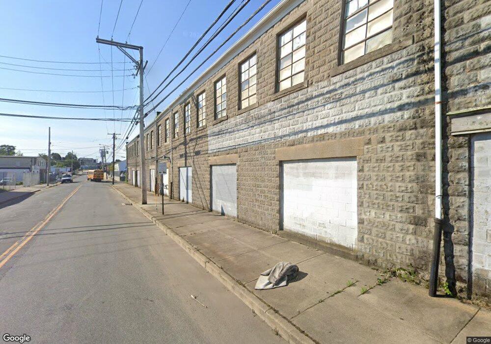
95 River St Bridgeport, CT 06604
Reservoir-Whiskey Hill NeighborhoodEstimated Value: $862,867
Studio
--
Bath
37,095
Sq Ft
$23/Sq Ft
Est. Value
About This Home
This home is located at 95 River St, Bridgeport, CT 06604 and is currently estimated at $862,867, approximately $23 per square foot. 95 River St is a home located in Fairfield County with nearby schools including Read School, Harding High School, and Achievement First Bridgeport Academy Elementary School.
Ownership History
Date
Name
Owned For
Owner Type
Purchase Details
Closed on
Apr 24, 2019
Sold by
95 River St Llc
Bought by
2019 Realty Llc
Current Estimated Value
Purchase Details
Closed on
Feb 13, 2002
Sold by
Frankel Arnold
Bought by
95 River St Llc
Home Financials for this Owner
Home Financials are based on the most recent Mortgage that was taken out on this home.
Original Mortgage
$270,000
Interest Rate
7.14%
Mortgage Type
Commercial
Create a Home Valuation Report for This Property
The Home Valuation Report is an in-depth analysis detailing your home's value as well as a comparison with similar homes in the area
Home Values in the Area
Average Home Value in this Area
Purchase History
| Date | Buyer | Sale Price | Title Company |
|---|---|---|---|
| 2019 Realty Llc | $525,000 | -- | |
| 2019 Realty Llc | $525,000 | -- | |
| 95 River St Llc | $400,000 | -- | |
| 95 River St Llc | $400,000 | -- |
Source: Public Records
Mortgage History
| Date | Status | Borrower | Loan Amount |
|---|---|---|---|
| Previous Owner | 95 River St Llc | $980,000 | |
| Previous Owner | 95 River St Llc | $270,000 |
Source: Public Records
Tax History
| Year | Tax Paid | Tax Assessment Tax Assessment Total Assessment is a certain percentage of the fair market value that is determined by local assessors to be the total taxable value of land and additions on the property. | Land | Improvement |
|---|---|---|---|---|
| 2025 | $18,349 | $422,290 | $193,180 | $229,110 |
| 2024 | $18,349 | $422,290 | $193,180 | $229,110 |
| 2023 | $18,349 | $422,290 | $193,180 | $229,110 |
| 2022 | $18,349 | $422,290 | $193,180 | $229,110 |
| 2021 | $18,349 | $422,290 | $193,180 | $229,110 |
| 2020 | $24,134 | $447,000 | $126,460 | $320,540 |
| 2019 | $24,134 | $447,000 | $126,460 | $320,540 |
| 2018 | $24,303 | $447,000 | $126,460 | $320,540 |
| 2017 | $24,303 | $447,000 | $126,460 | $320,540 |
| 2016 | $24,303 | $447,000 | $126,460 | $320,540 |
| 2015 | $23,334 | $552,940 | $126,460 | $426,480 |
| 2014 | $23,334 | $552,940 | $126,460 | $426,480 |
Source: Public Records
Map
Nearby Homes
- 108 Lindley St Unit 114
- 47-49 Berkshire Ave
- 750 William St
- 500 Park St
- 744 Park St
- 369 Park St
- 1218 Kossuth St
- 502 Berkshire Ave
- 386-388 Huntington Rd
- 39 Jane St
- 274 Park St
- 1365 E Main St
- 201 French St Unit 203
- 619 Brooks St Unit 621
- 345 Capitol Ave
- 142 Palm St
- 73 Goddard Ave
- 1389 Pembroke St
- 78 Fairmount Ave
- 236 Brooks St
- 73 River St
- 142 River St
- 126 Lindley St
- 118 Lindley St Unit 124
- 98 Lindley St Unit 104
- 729 N Washington Ave
- 88 Lindley St Unit 90
- 78 Lindley St Unit 1st Floor
- 68 Lindley St Unit 70
- 120 River St
- 36 River St
- 215 Merriam St Unit 217
- 215 Merriam St Unit 2ND F
- 211 Merriam St Unit 213
- 639 N Washington Ave
- 639 N Washington Ave
- 216 Lindley St Unit 218
- 218 Lindley St
- 48 Ives Ct
- 222 Lindley St Unit 224
Your Personal Tour Guide
Ask me questions while you tour the home.