950 Mooty Bridge Rd Lagrange, GA 30240
About This Home
This home is located at 950 Mooty Bridge Rd, Lagrange, GA 30240. 950 Mooty Bridge Rd is a home located in Troup County with nearby schools including Franklin Forest Elementary School, Hollis Hand Elementary School, and Ethel W. Kight Elementary School.
Ownership History
We collect this data history from publicly available records. To have your information removed, we recommend requesting removal directly through your county’s website.
Purchase Details
Purchase Details
Purchase Details
Purchase Details
Purchase Details
Purchase History
We collect this data history from publicly available records. To have your information removed, we recommend requesting removal directly through your county’s website.
| Date | Buyer | Sale Price | Title Company |
|---|---|---|---|
| $365,000 | -- | ||
| $280,000 | -- | ||
| $290,000 | -- | ||
| $23,800 | -- | ||
| $10,100 | -- | ||
| -- | -- |
Tax History
We collect this data history from publicly available records. To have your information removed, we recommend requesting removal directly through your county’s website.
| Year | Tax Paid | Tax Assessment Tax Assessment Total Assessment is a certain percentage of the fair market value that is determined by local assessors to be the total taxable value of land and additions on the property. | Land | Improvement |
|---|---|---|---|---|
| 2025 | $24,974 | $915,720 | $177,040 | $738,680 |
| 2024 | $27,359 | $1,003,148 | $146,748 | $856,400 |
| 2023 | $21,228 | $778,360 | $30,720 | $747,640 |
| 2022 | $21,642 | $775,423 | $27,783 | $747,640 |
| 2021 | $24,831 | $823,315 | $159,995 | $663,320 |
| 2020 | $23,572 | $781,560 | $118,240 | $663,320 |
| 2019 | $18,932 | $627,705 | $53,465 | $574,240 |
| 2018 | $23,765 | $787,990 | $101,590 | $686,400 |
| 2017 | $32,229 | $1,068,595 | $84,275 | $984,320 |
| 2016 | $20,177 | $668,986 | $42,574 | $626,412 |
| 2015 | $29,309 | $668,980 | $42,574 | $626,407 |
| 2014 | $31,193 | $1,212,755 | $61,320 | $1,151,435 |
| 2013 | -- | $1,207,834 | $119,136 | $1,088,698 |
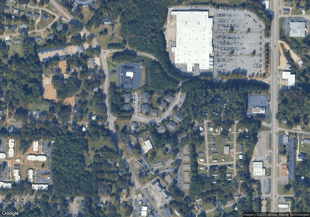
Map
- 120 North St
- 900 North St
- 806 New Franklin Rd
- 106 Ewing St
- 724 Camellia Dr
- 124 Melrose Dr
- 172 Merrybrook Dr
- 115 Daniel Ct
- 202 Park Hill Dr
- 222 Beechwood Cir
- 219 Banks St
- 725 N Greenwood St
- 1333 Mooty Bridge Rd Unit 2
- 733 Azalea Dr
- 110 N Chilton Crescent
- 105 Dogwood Dr
- 133 Alton Dr
- 121 N Chilton Crescent
- 102 Dogwood Dr
- 135 S Chilton Crescent
- 109 Bridgewood Dr
- 1006 Mooty Bridge Rd
- 918 Mooty Bridge Rd
- 916 Mooty Bridge Rd
- 914 Mooty Bridge Rd
- 912 Mooty Bridge Rd
- 910 Mooty Bridge Rd
- 306 Colonial St
- 302 Colonial St
- 921 Mooty Bridge Rd
- 1001 Mooty Bridge Rd
- 1015 Mooty Bridge Rd
- 208 Colonial St
- 203 Russell St
- 100 Bridgewood Dr
- 105 Sunset St
- 206 Colonial St
- 210 Russell St
- 201 Russell St
- 206 Russell St
Ask me questions while you tour the home.