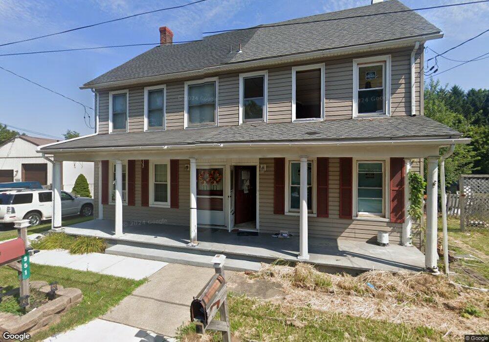
951 E MacAda Rd Bethlehem, PA 18017
Northeast Bethlehem NeighborhoodEstimated Value: $305,657 - $329,000
2
Beds
1
Bath
1,700
Sq Ft
$186/Sq Ft
Est. Value
About This Home
This home is located at 951 E MacAda Rd, Bethlehem, PA 18017 and is currently estimated at $316,664, approximately $186 per square foot. 951 E MacAda Rd is a home located in Northampton County with nearby schools including Spring Garden Elementary School, East Hills Middle School, and Freedom High School.
Ownership History
Date
Name
Owned For
Owner Type
Purchase Details
Closed on
Oct 2, 2017
Sold by
Midfirst Bank
Bought by
R I Investments Group Llc
Current Estimated Value
Purchase Details
Closed on
Sep 1, 2017
Sold by
Hrubenak Dolores
Bought by
Midfirst Bank
Purchase Details
Closed on
Nov 12, 2004
Sold by
Gasdaska Mary
Bought by
Hrubenak Dolores
Home Financials for this Owner
Home Financials are based on the most recent Mortgage that was taken out on this home.
Original Mortgage
$141,871
Interest Rate
5.8%
Mortgage Type
FHA
Create a Home Valuation Report for This Property
The Home Valuation Report is an in-depth analysis detailing your home's value as well as a comparison with similar homes in the area
Home Values in the Area
Average Home Value in this Area
Purchase History
| Date | Buyer | Sale Price | Title Company |
|---|---|---|---|
| R I Investments Group Llc | $100,323 | None Available | |
| Midfirst Bank | $1,415 | None Available | |
| Hrubenak Dolores | $143,000 | -- |
Source: Public Records
Mortgage History
| Date | Status | Borrower | Loan Amount |
|---|---|---|---|
| Previous Owner | Hrubenak Dolores | $141,871 |
Source: Public Records
Tax History
| Year | Tax Paid | Tax Assessment Tax Assessment Total Assessment is a certain percentage of the fair market value that is determined by local assessors to be the total taxable value of land and additions on the property. | Land | Improvement |
|---|---|---|---|---|
| 2026 | $514 | $47,600 | $28,200 | $19,400 |
| 2025 | $514 | $47,600 | $28,200 | $19,400 |
| 2024 | $4,207 | $47,600 | $28,200 | $19,400 |
| 2023 | $4,207 | $47,600 | $28,200 | $19,400 |
| 2022 | $4,175 | $47,600 | $28,200 | $19,400 |
| 2021 | $4,146 | $47,600 | $28,200 | $19,400 |
| 2020 | $4,107 | $47,600 | $28,200 | $19,400 |
| 2019 | $4,093 | $47,600 | $28,200 | $19,400 |
| 2018 | $3,994 | $47,600 | $28,200 | $19,400 |
| 2017 | $3,946 | $47,600 | $28,200 | $19,400 |
| 2016 | -- | $47,600 | $28,200 | $19,400 |
| 2015 | -- | $47,600 | $28,200 | $19,400 |
| 2014 | -- | $47,600 | $28,200 | $19,400 |
Source: Public Records
Map
Nearby Homes
- 1201 Butztown Rd Unit 4
- 2919 West Blvd
- 1137 Lynnhurst Place
- 3277 Marchant Dr
- 1648 Angela Dr
- 1510 Covington Place
- 436 E MacAda Rd
- 1740 Butztown Rd
- 1728 Butztown Rd Unit C1
- 3080 Shakespeare Rd
- 1031 Decatur St
- 1715 Lansdale Ave
- 2236 Lincoln St
- 1740 Lansdale Ave
- 3120 Hilly Rd
- 2145 Henderson St
- 2152 East Blvd
- 2950 Santee Dr
- 3686 Cottage Dr
- 2109 Kemmerer St
- 953 E MacAda Rd
- 939 E MacAda Rd
- 952 E MacAda Rd
- 959 E MacAda Rd
- 3061 Powder Mill Cir
- 942 E MacAda Rd
- 962 E MacAda Rd
- 934 E MacAda Rd
- 928 E MacAda Rd
- 3053 Powder Mill Cir
- 3052 Powder Mill Cir
- 1014 E MacAda Rd
- 902 E MacAda Rd
- 3041 Powder Mill Cir
- 3044 Powder Mill Cir
- 3031 Powder Mill Cir
- 3032 Powder Mill Cir
- 2955 Linden St
- 927 Barnsdale Rd
- 937 Barnsdale Rd
Your Personal Tour Guide
Ask me questions while you tour the home.