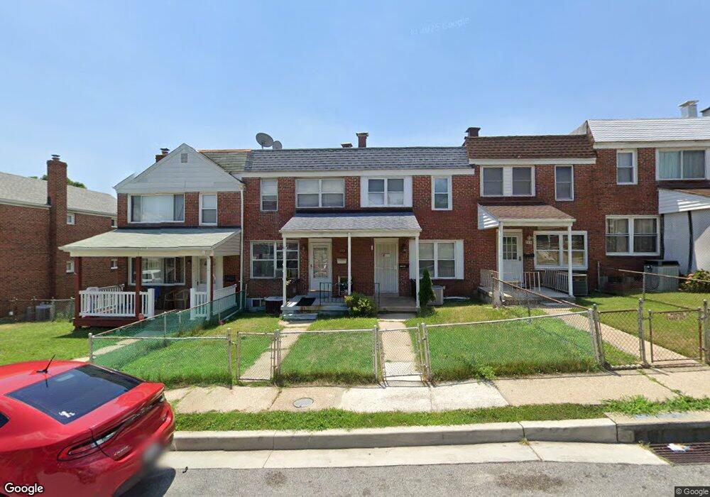
953 Dalton Ave Baltimore, MD 21224
Estimated Value: $185,043 - $216,000
Studio
2
Baths
1,024
Sq Ft
$200/Sq Ft
Est. Value
About This Home
This home is located at 953 Dalton Ave, Baltimore, MD 21224 and is currently estimated at $204,761, approximately $199 per square foot. 953 Dalton Ave is a home located in Baltimore County with nearby schools including Berkshire Elementary School, Holabird Middle School, and Patapsco High & Center for Arts.
Ownership History
Date
Name
Owned For
Owner Type
Purchase Details
Closed on
Nov 16, 2006
Sold by
Goldsmith Phillip D
Bought by
Duvall Olivia M and Banks Diedra M
Current Estimated Value
Purchase Details
Closed on
Oct 26, 2006
Sold by
Goldsmith Phillip D
Bought by
Duvall Olivia M and Banks Diedra M
Purchase Details
Closed on
Feb 20, 2002
Sold by
Stoll Thomas
Bought by
Goldsmith Phillip D and Goldsmith Phillip G
Purchase Details
Closed on
Apr 4, 1978
Sold by
Blake Lloyd D
Bought by
Stoll Thomas
Create a Home Valuation Report for This Property
The Home Valuation Report is an in-depth analysis detailing your home's value as well as a comparison with similar homes in the area
Home Values in the Area
Average Home Value in this Area
Purchase History
| Date | Buyer | Sale Price | Title Company |
|---|---|---|---|
| Duvall Olivia M | $161,000 | -- | |
| Duvall Olivia M | $161,000 | -- | |
| Goldsmith Phillip D | $78,900 | -- | |
| Stoll Thomas | $27,000 | -- |
Source: Public Records
Tax History
| Year | Tax Paid | Tax Assessment Tax Assessment Total Assessment is a certain percentage of the fair market value that is determined by local assessors to be the total taxable value of land and additions on the property. | Land | Improvement |
|---|---|---|---|---|
| 2025 | $2,205 | $152,367 | -- | -- |
| 2024 | $2,205 | $139,933 | $0 | $0 |
| 2023 | $1,017 | $127,500 | $30,000 | $97,500 |
| 2022 | $2,028 | $125,700 | $0 | $0 |
| 2021 | $2,049 | $123,900 | $0 | $0 |
| 2020 | $2,049 | $122,100 | $30,000 | $92,100 |
| 2019 | $2,421 | $117,467 | $0 | $0 |
| 2018 | $2,265 | $112,833 | $0 | $0 |
| 2017 | $2,097 | $108,200 | $0 | $0 |
| 2016 | $1,729 | $103,433 | $0 | $0 |
| 2015 | $1,729 | $98,667 | $0 | $0 |
| 2014 | $1,729 | $93,900 | $0 | $0 |
Source: Public Records
Map
Nearby Homes
- 7428 Poplar Ave
- 7416 Poplar Ave
- 7506 Belmont Ave
- 7412 Poplar Ave
- 900 N Point Rd
- 7406 Poplar Ave
- 7404 Poplar Ave
- 7627 Carson Ave
- 7503 Cypress Ave
- 7552 Rabon Ave
- 805 Mildred Ave
- 7503 Riddle Ave
- 619 N Point Rd
- 521 Fairview Ave
- 1205 N Point Rd
- 505 N Point Rd
- 8031 Bank St
- 2426 Plainfield Rd
- 8049 Lansdale Rd
- 8002 Lansdale Rd
Your Personal Tour Guide
Ask me questions while you tour the home.