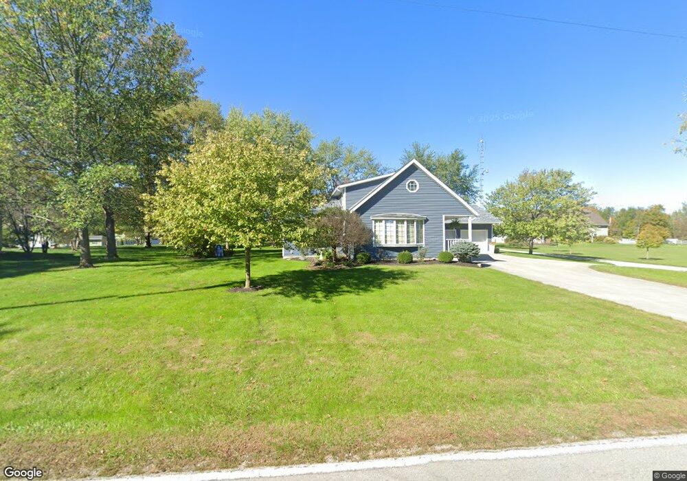
9532 Boyer Rd Versailles, OH 45380
Estimated Value: $280,494 - $350,000
2
Beds
2
Baths
2,160
Sq Ft
$143/Sq Ft
Est. Value
About This Home
This home is located at 9532 Boyer Rd, Versailles, OH 45380 and is currently estimated at $309,624, approximately $143 per square foot. 9532 Boyer Rd is a home located in Darke County with nearby schools including Versailles Elementary School, Versailles Middle School, and Versailles High School.
Ownership History
Date
Name
Owned For
Owner Type
Purchase Details
Closed on
Jun 28, 2019
Sold by
Moorman Kenneth J and Moorman Jill Marie
Bought by
Moorman Kenneth J and Moorman Jill Marie
Current Estimated Value
Purchase Details
Closed on
Dec 6, 1994
Sold by
Leichty Keenan R
Bought by
Mooreman Keith E and Mooreman Kenneth J
Purchase Details
Closed on
Apr 1, 1985
Bought by
Moorman Kenneth J and Ware Jill Marie
Create a Home Valuation Report for This Property
The Home Valuation Report is an in-depth analysis detailing your home's value as well as a comparison with similar homes in the area
Purchase History
| Date | Buyer | Sale Price | Title Company |
|---|---|---|---|
| Moorman Kenneth J | -- | None Available | |
| Mooreman Keith E | $36,000 | -- | |
| Moorman Kenneth J | $22,000 | -- |
Source: Public Records
Tax History
| Year | Tax Paid | Tax Assessment Tax Assessment Total Assessment is a certain percentage of the fair market value that is determined by local assessors to be the total taxable value of land and additions on the property. | Land | Improvement |
|---|---|---|---|---|
| 2025 | $1,869 | $56,670 | $6,850 | $49,820 |
| 2024 | $1,869 | $56,670 | $6,850 | $49,820 |
| 2023 | $1,872 | $56,670 | $6,850 | $49,820 |
| 2022 | $1,361 | $42,480 | $5,710 | $36,770 |
| 2021 | $1,426 | $42,480 | $5,710 | $36,770 |
| 2020 | $1,434 | $42,480 | $5,710 | $36,770 |
| 2019 | $1,182 | $35,120 | $5,710 | $29,410 |
| 2018 | $1,187 | $35,120 | $5,710 | $29,410 |
| 2017 | $961 | $35,120 | $5,710 | $29,410 |
| 2016 | $962 | $30,240 | $5,710 | $24,530 |
| 2015 | $962 | $30,240 | $5,710 | $24,530 |
| 2014 | $1,012 | $30,240 | $5,710 | $24,530 |
| 2013 | $1,036 | $28,790 | $5,430 | $23,360 |
Source: Public Records
Map
Nearby Homes
- 546 Reed Ave
- 547 Reed Ave
- 447 Reed Ave
- 435 Reed Ave
- 262 W Ward St
- 331 W Wood St
- 161 E Main St
- 140 N Center St
- 32 N East St
- 45 Short St
- 9072 Stillwater Dr
- 0 St Rt 121 Unit 10041143
- 7627 Horatio-Harris Creek Rd
- 00 State Route 121
- 547 N Bridge St
- 112 Esther St
- 106 Wise St
- 112 Marvin St
- 5331 Tamarack Trail
- 122 Auld St
Your Personal Tour Guide
Ask me questions while you tour the home.