9536 Pumice Ln Central Point, OR 97502
Estimated Value: $892,000 - $1,239,000
3
Beds
3
Baths
3,400
Sq Ft
$303/Sq Ft
Est. Value
About This Home
This home is located at 9536 Pumice Ln, Central Point, OR 97502 and is currently estimated at $1,028,561, approximately $302 per square foot. 9536 Pumice Ln is a home located in Jackson County with nearby schools including Sams Valley Elementary School, Hanby Middle School, and Crater High School.
Ownership History
Date
Name
Owned For
Owner Type
Purchase Details
Closed on
Oct 12, 2007
Sold by
Wood Arlen B and Wood Jacob D
Bought by
Rachor John V and Rachor Susan L
Current Estimated Value
Purchase Details
Closed on
Feb 20, 2003
Sold by
Rachor John V and Rachor Susan L
Bought by
Rachor John V and Rachor Susan L
Home Financials for this Owner
Home Financials are based on the most recent Mortgage that was taken out on this home.
Original Mortgage
$300,000
Interest Rate
5.85%
Create a Home Valuation Report for This Property
The Home Valuation Report is an in-depth analysis detailing your home's value as well as a comparison with similar homes in the area
Purchase History
| Date | Buyer | Sale Price | Title Company |
|---|---|---|---|
| Rachor John V | $275,000 | Amerititle | |
| Rachor John V | -- | Amerititle |
Source: Public Records
Mortgage History
| Date | Status | Borrower | Loan Amount |
|---|---|---|---|
| Previous Owner | Rachor John V | $300,000 |
Source: Public Records
Tax History
| Year | Tax Paid | Tax Assessment Tax Assessment Total Assessment is a certain percentage of the fair market value that is determined by local assessors to be the total taxable value of land and additions on the property. | Land | Improvement |
|---|---|---|---|---|
| 2026 | $9,910 | $726,560 | $294,620 | $431,940 |
| 2025 | $9,678 | $822,990 | $217,650 | $605,340 |
| 2024 | $9,678 | $799,020 | $211,320 | $587,700 |
| 2023 | $9,362 | $775,750 | $205,170 | $570,580 |
| 2022 | $9,160 | $775,750 | $205,170 | $570,580 |
| 2021 | $8,906 | $753,160 | $199,190 | $553,970 |
| 2020 | $8,656 | $731,230 | $193,380 | $537,850 |
| 2019 | $8,452 | $689,270 | $182,280 | $506,990 |
| 2018 | $8,189 | $669,200 | $176,990 | $492,210 |
| 2017 | $8,000 | $669,200 | $176,990 | $492,210 |
| 2016 | $7,766 | $630,790 | $166,820 | $463,970 |
| 2015 | $7,482 | $630,790 | $166,820 | $463,970 |
| 2014 | $7,314 | $594,590 | $157,240 | $437,350 |
Source: Public Records
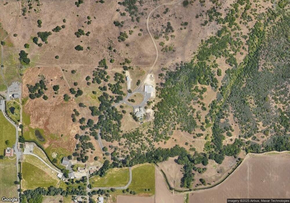
Map
Nearby Homes
- 13290 Table Rock Rd
- 11322 Modoc Rd
- 11220 Duggan Rd
- 6850 Downing Rd Unit 11
- 6850 Downing Rd Unit SPC 31
- 6850 Downing Rd Unit 7
- 6850 Downing Rd Unit 25
- 6850 Downing Rd Unit SPC 71
- 6850 Downing Rd Unit 65
- 12214 Modoc Rd
- 12240 Modoc Rd Unit A
- 12240 Modoc Rd Unit B
- 12240 Modoc Rd Unit C
- 10068 SE Pavati Dr Unit 37
- 9674 SE Pavati Dr Unit 41
- 10098 SE Pavati Dr Unit 36
- 9697 SE Pavati Dr Unit 27
- 9868 SE Pavati Dr Unit 40
- 1917 Bobcat Way
- 1921 Bobcat Way
- 9525 Pumice Ln
- 9486 Pumice Ln
- 9452 Pumice Ln
- 9467 Pumice Ln
- 10170 Table Rock Rd
- 9397 Pumice Ln
- 9354 Pumice Ln
- 9363 Pumice Ln
- 9328 Pumice Ln
- 9884 Table Rock Rd
- 9906 Table Rock Rd
- 10004 Table Rock Rd
- 9305 Pumice Ln
- 9969 Table Rock Rd
- 10083 Table Rock Rd
- 10105 Table Rock Rd
- 9463 Modoc Rd
- 10149 Table Rock Rd
- 10271 Table Rock Rd
- 10392 Table Rock Rd
Your Personal Tour Guide
Ask me questions while you tour the home.