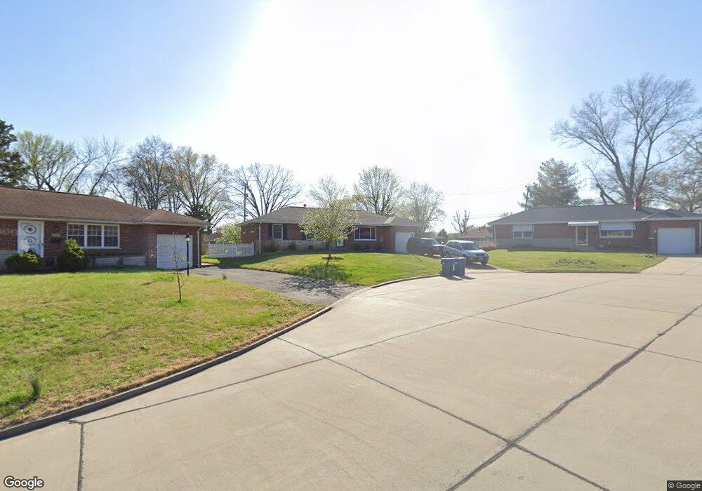
9537 Lindsley Ct Saint Louis, MO 63123
Estimated Value: $234,000 - $258,000
About This Home
This home is located at 9537 Lindsley Ct, Saint Louis, MO 63123 and is currently estimated at $247,071, approximately $192 per square foot. 9537 Lindsley Ct is a home located in St. Louis County with nearby schools including Bayless Elementary School, Bayless Junior High School, and Bayless Senior High School.
Ownership History
We collect this data history from publicly available records. To have your information removed, we recommend requesting removal directly through your county’s website.
Purchase Details
Home Financials for this Owner
Home Financials are based on the most recent Mortgage that was taken out on this home.Home Values in the Area
Average Home Value in this Area
Purchase History
We collect this data history from publicly available records. To have your information removed, we recommend requesting removal directly through your county’s website.
| Date | Buyer | Sale Price | Title Company |
|---|---|---|---|
| $114,000 | Title Partners Agency Llc |
Mortgage History
We collect this data history from publicly available records. To have your information removed, we recommend requesting removal directly through your county’s website.
| Date | Status | Borrower | Loan Amount |
|---|---|---|---|
| Open | $102,600 |
Tax History
We collect this data history from publicly available records. To have your information removed, we recommend requesting removal directly through your county’s website.
| Year | Tax Paid | Tax Assessment Tax Assessment Total Assessment is a certain percentage of the fair market value that is determined by local assessors to be the total taxable value of land and additions on the property. | Land | Improvement |
|---|---|---|---|---|
| 2025 | $2,606 | $40,850 | $14,860 | $25,990 |
| 2024 | $2,606 | $35,810 | $7,920 | $27,890 |
| 2023 | $2,565 | $35,810 | $7,920 | $27,890 |
| 2022 | $2,471 | $29,160 | $8,910 | $20,250 |
| 2021 | $2,237 | $29,160 | $8,910 | $20,250 |
| 2020 | $2,289 | $27,660 | $8,720 | $18,940 |
| 2019 | $2,283 | $27,660 | $8,720 | $18,940 |
| 2018 | $2,179 | $23,390 | $6,760 | $16,630 |
| 2017 | $2,046 | $23,390 | $6,760 | $16,630 |
| 2016 | $1,962 | $22,060 | $3,910 | $18,150 |
| 2015 | $1,971 | $22,060 | $3,910 | $18,150 |
| 2014 | $2,126 | $23,740 | $6,750 | $16,990 |
Map
- 9616 Antonette Hills Dr
- 9541 Dulles Ct
- 4849 Mohegan Dr
- 4475 Cayuga Dr
- 4332 Big Chief Dr
- 8628 Glenmont Ct
- 9438 Tiber Dr
- 9117 Tiber Ct
- 9208 Hallock Dr
- 9814 Huntingdon Ln
- 9217 Hallock Dr
- 9133 Overton Dr
- 9109 Maureen Ln
- 9130 Wayne Dr
- 4222 Kay Ln Unit 7
- 9108 Fayette Ave
- 9058 Rosemary Ave
- 9305 Cloverhurst Dr
- 9047 Villaridge Ct Unit A
- 9047 Villaridge Ct Unit F
- 9541 Lindsley Ct
- 9533 Lindsley Ct
- 9549 Howerton Dr
- 9538 Breuer Dr
- 9534 Breuer Dr
- 9553 Howerton Dr
- 9529 Lindsley Ct
- 9546 Breuer Dr
- 9525 Lindsley Ct
- 9517 Lindsley Ct
- 9522 Breuer Dr
- 9534 Howerton Dr
- 9528 Howerton Dr
- 9601 Howerton Dr
- 9554 Breuer Dr
- 9522 Howerton Dr
- 4710 Forman Rd
- 9511 Howerton Dr
- 9516 Howerton Dr
- 9605 Howerton Dr
Ask me questions while you tour the home.