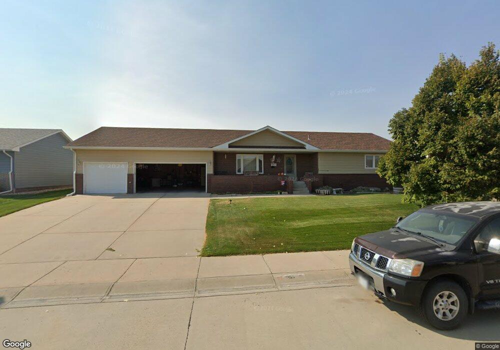
955 19th St Gering, NE 69341
Estimated Value: $303,000 - $351,000
3
Beds
3
Baths
1,496
Sq Ft
$219/Sq Ft
Est. Value
About This Home
This home is located at 955 19th St, Gering, NE 69341 and is currently estimated at $328,152, approximately $219 per square foot. 955 19th St is a home located in Scotts Bluff County with nearby schools including Gering High School and Community Christian Elementary/Middle School.
Ownership History
Date
Name
Owned For
Owner Type
Purchase Details
Closed on
Jun 6, 2005
Sold by
Langer Construction Inc
Bought by
Howard Ronald E and Howard Michele L
Current Estimated Value
Home Financials for this Owner
Home Financials are based on the most recent Mortgage that was taken out on this home.
Original Mortgage
$150,800
Outstanding Balance
$77,870
Interest Rate
5.79%
Mortgage Type
New Conventional
Estimated Equity
$250,282
Create a Home Valuation Report for This Property
The Home Valuation Report is an in-depth analysis detailing your home's value as well as a comparison with similar homes in the area
Home Values in the Area
Average Home Value in this Area
Purchase History
| Date | Buyer | Sale Price | Title Company |
|---|---|---|---|
| Howard Ronald E | $189,000 | -- |
Source: Public Records
Mortgage History
| Date | Status | Borrower | Loan Amount |
|---|---|---|---|
| Open | Howard Ronald E | $150,800 |
Source: Public Records
Tax History
| Year | Tax Paid | Tax Assessment Tax Assessment Total Assessment is a certain percentage of the fair market value that is determined by local assessors to be the total taxable value of land and additions on the property. | Land | Improvement |
|---|---|---|---|---|
| 2025 | $5,006 | $297,545 | $27,450 | $270,095 |
| 2024 | $4,860 | $282,255 | $27,450 | $254,805 |
| 2023 | $5,045 | $235,396 | $20,279 | $215,117 |
| 2022 | $5,045 | $235,396 | $20,279 | $215,117 |
| 2021 | $4,796 | $221,323 | $20,279 | $201,044 |
| 2020 | $4,615 | $211,749 | $20,279 | $191,470 |
| 2019 | $4,503 | $211,749 | $20,279 | $191,470 |
| 2018 | $4,530 | $211,749 | $20,279 | $191,470 |
| 2017 | $4,379 | $204,385 | $20,279 | $184,106 |
| 2016 | $4,065 | $204,385 | $20,279 | $184,106 |
| 2015 | $3,945 | $199,023 | $20,279 | $178,744 |
| 2014 | $4,001 | $199,023 | $20,279 | $178,744 |
| 2012 | -- | $195,518 | $20,279 | $175,239 |
Source: Public Records
Map
Nearby Homes
- 965 19th St
- 935 19th St
- 950 19th St
- 930 19th St
- 975 19th St
- 960 19th St
- 915 19th St
- 910 19th St
- 970 19th St
- 855 19th St
- 935 Westwood Dr
- 900 19th St
- 955 Westwood Dr
- 965 Westwood Dr
- 915 Westwood Dr
- 1970 Oregon Trail Blvd
- 975 Westwood Dr
- 1950 Oregon Trail Blvd
- 1980 Oregon Trl Blvd
- 1930 Oregon Trail Blvd
Your Personal Tour Guide
Ask me questions while you tour the home.