9552 Polk St Taylor, MI 48180
Estimated Value: $150,000 - $172,619
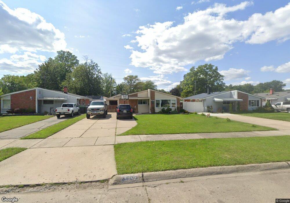
About This Home
This home is located at 9552 Polk St, Taylor, MI 48180 and is currently estimated at $162,405, approximately $150 per square foot. 9552 Polk St is a home located in Wayne County with nearby schools including Blair Moody Elementary School, Robert J. West Middle School, and Taylor Preparatory High School.
Ownership History
We collect this data history from publicly available records. To have your information removed, we recommend requesting removal directly through your county’s website.
Purchase Details
Purchase Details
Purchase Details
Purchase Details
Purchase Details
Home Values in the Area
Average Home Value in this Area
Purchase History
We collect this data history from publicly available records. To have your information removed, we recommend requesting removal directly through your county’s website.
| Date | Buyer | Sale Price | Title Company |
|---|---|---|---|
| $25,000 | None Available | ||
| -- | None Available | ||
| $123,655 | None Available | ||
| $118,900 | Multiple | ||
| $55,000 | -- |
Tax History
We collect this data history from publicly available records. To have your information removed, we recommend requesting removal directly through your county’s website.
| Year | Tax Paid | Tax Assessment Tax Assessment Total Assessment is a certain percentage of the fair market value that is determined by local assessors to be the total taxable value of land and additions on the property. | Land | Improvement |
|---|---|---|---|---|
| 2025 | $1,496 | $82,400 | $0 | $0 |
| 2024 | $1,449 | $77,000 | $0 | $0 |
| 2023 | $1,737 | $63,200 | $0 | $0 |
| 2022 | $1,382 | $55,500 | $0 | $0 |
| 2021 | $2,046 | $50,900 | $0 | $0 |
| 2020 | $1,605 | $44,900 | $0 | $0 |
| 2019 | $151,072 | $41,000 | $0 | $0 |
| 2018 | $1,187 | $32,700 | $0 | $0 |
| 2017 | $656 | $32,700 | $0 | $0 |
| 2016 | $1,475 | $31,800 | $0 | $0 |
| 2015 | $2,682 | $27,000 | $0 | $0 |
| 2013 | $2,670 | $27,200 | $0 | $0 |
| 2012 | $1,179 | $27,300 | $8,400 | $18,900 |
Map
- 9134 Weddel St
- 10219 Island Lake Dr
- 9883 William St
- 21524 Wick Rd
- 19 Parkplace N
- 9949 Allen Pointe Dr Unit 14
- 20060 Koths St
- 8758 Huron St
- 9921 Allen Pointe Dr Unit 4
- 10077 Allen Pointe Dr Unit 111
- 10124 Pelham Rd
- 9384 Elaine Ct
- 8281 Huron St
- 8400 Pelham Rd
- 22134 Wick Rd
- 18650 Grey Ave
- 9405 Lincoln St
- 00 Allen Rd
- 21090 Goddard Rd
- 10854 Allen Rd
Ask me questions while you tour the home.