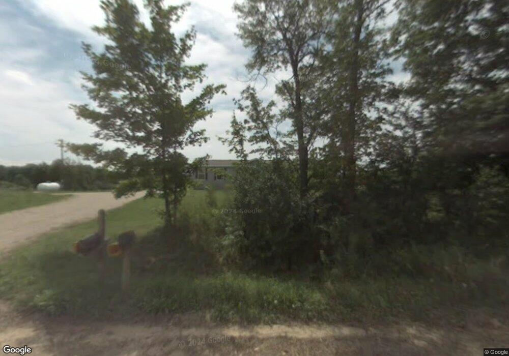
9569 E Baker Rd Hesperia, MI 49421
Estimated Value: $167,800 - $234,000
Studio
--
Bath
--
Sq Ft
233,917
Sq Ft Lot
About This Home
This home is located at 9569 E Baker Rd, Hesperia, MI 49421 and is currently estimated at $203,200. 9569 E Baker Rd is a home located in Oceana County with nearby schools including Patricia St. Clair Elementary School, Hesperia Middle School, and Hesperia High School.
Ownership History
Date
Name
Owned For
Owner Type
Purchase Details
Closed on
Aug 9, 2010
Sold by
21St Mortgage Corporation
Bought by
Homfeld Dustin D
Current Estimated Value
Home Financials for this Owner
Home Financials are based on the most recent Mortgage that was taken out on this home.
Original Mortgage
$40,447
Interest Rate
4.58%
Mortgage Type
Purchase Money Mortgage
Purchase Details
Closed on
Jun 26, 2008
Sold by
Snyder Gregory A and Snyder Wendy L
Bought by
21St Mortgage Corp
Create a Home Valuation Report for This Property
The Home Valuation Report is an in-depth analysis detailing your home's value as well as a comparison with similar homes in the area
Purchase History
| Date | Buyer | Sale Price | Title Company |
|---|---|---|---|
| Homfeld Dustin D | $54,000 | Newaygo County Title & Escro | |
| 21St Mortgage Corp | $63,000 | None Available |
Source: Public Records
Mortgage History
| Date | Status | Borrower | Loan Amount |
|---|---|---|---|
| Closed | Homfeld Dustin D | $40,447 |
Source: Public Records
Tax History
| Year | Tax Paid | Tax Assessment Tax Assessment Total Assessment is a certain percentage of the fair market value that is determined by local assessors to be the total taxable value of land and additions on the property. | Land | Improvement |
|---|---|---|---|---|
| 2025 | $1,401 | $61,000 | $61,000 | $0 |
| 2024 | $479 | $60,400 | $60,400 | $0 |
| 2023 | $1,273 | $53,900 | $53,900 | $0 |
| 2022 | $1,211 | $43,500 | $0 | $0 |
| 2021 | $1,180 | $40,200 | $40,200 | $0 |
| 2020 | $1,204 | $41,100 | $41,100 | $0 |
| 2019 | $1,203 | $40,800 | $0 | $0 |
| 2018 | $1,044 | $39,200 | $0 | $0 |
| 2017 | $1,001 | $35,200 | $0 | $0 |
| 2016 | -- | $28,900 | $0 | $0 |
| 2013 | -- | $29,900 | $0 | $0 |
Source: Public Records
Map
Nearby Homes
- 3593 S Maple Island Rd
- 3521 S 204th Ave
- VL S 204th Ave
- 152 N Greenback St
- 3733 S Brenlor Dr
- 46 Hoskins St
- 1945 S 200th Ave
- 7 S Elm St
- 22 N Greenback St
- 0 E Lake E Unit 26012437
- VL State St
- 3944 S Brenlor Dr
- 1837 S 200th Ave
- 8991 W 1 Mile Rd
- 167 S Division St
- 165 S Elm St
- 8,9,10,&11 S Riverview Dr
- Lots 10&11 S Riverview Dr
- Lots 8 & 9 S Riverview Dr
- 8933 E M 20
- 17040 E Baker Rd
- 9584 E Baker Rd
- 1878 N Maple Island Rd
- 2563 S Maple Island Rd
- 2955 S Maple Island Rd
- 9423 E Baker Rd
- 2965 S Maple Island Rd
- 3055 S Maple Island Rd
- 2172 N Maple Island Rd
- 1746 N Maple Island Rd
- 18170 N Maple Island Rd
- 2850 S 204th Ave
- 1702 N Maple Island Rd
- 9280 E Baker Rd
- 3183 S Maple Island Rd
- 2344 N Maple Island Rd
- 5979 Croswell Ave
- 2861 S 204th Ave
- 2925 S 204th Ave
- 2791 S 204th Ave
Your Personal Tour Guide
Ask me questions while you tour the home.