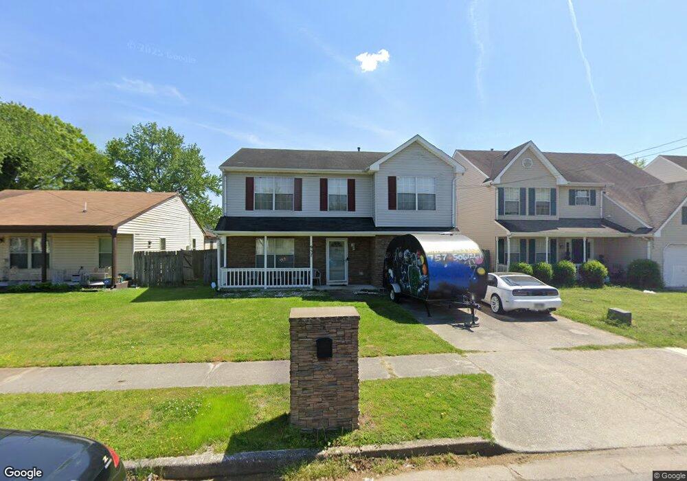
957 Avenue E Norfolk, VA 23513
Colonial Heights NeighborhoodEstimated Value: $377,962 - $402,000
4
Beds
3
Baths
2,112
Sq Ft
$184/Sq Ft
Est. Value
About This Home
This home is located at 957 Avenue E, Norfolk, VA 23513 and is currently estimated at $388,991, approximately $184 per square foot. 957 Avenue E is a home located in Norfolk City with nearby schools including Crossroads School, Norview Middle School, and Norview High School.
Ownership History
Date
Name
Owned For
Owner Type
Purchase Details
Closed on
Dec 11, 2015
Sold by
Eleby John
Bought by
Parker James E and Parker Sirena D
Current Estimated Value
Home Financials for this Owner
Home Financials are based on the most recent Mortgage that was taken out on this home.
Original Mortgage
$208,160
Outstanding Balance
$165,978
Interest Rate
4.12%
Mortgage Type
FHA
Estimated Equity
$223,013
Create a Home Valuation Report for This Property
The Home Valuation Report is an in-depth analysis detailing your home's value as well as a comparison with similar homes in the area
Home Values in the Area
Average Home Value in this Area
Purchase History
We collect this data history from publicly available records. To have your information removed, we recommend requesting removal directly through your county’s website.
| Date | Buyer | Sale Price | Title Company |
|---|---|---|---|
| Parker James E | $212,000 | Alpha1 Title & Escrow Llc |
Source: Public Records
Mortgage History
We collect this data history from publicly available records. To have your information removed, we recommend requesting removal directly through your county’s website.
| Date | Status | Borrower | Loan Amount |
|---|---|---|---|
| Open | Parker James E | $208,160 |
Source: Public Records
Tax History
| Year | Tax Paid | Tax Assessment Tax Assessment Total Assessment is a certain percentage of the fair market value that is determined by local assessors to be the total taxable value of land and additions on the property. | Land | Improvement |
|---|---|---|---|---|
| 2025 | $3,893 | $316,500 | $64,500 | $252,000 |
| 2024 | $3,695 | $295,600 | $64,500 | $231,100 |
| 2023 | $3,593 | $287,400 | $58,500 | $228,900 |
| 2022 | $3,478 | $278,200 | $49,300 | $228,900 |
| 2021 | $3,033 | $242,600 | $36,500 | $206,100 |
| 2020 | $2,850 | $228,000 | $27,500 | $200,500 |
| 2019 | $2,819 | $225,500 | $25,000 | $200,500 |
| 2018 | $2,644 | $211,500 | $23,000 | $188,500 |
| 2017 | $2,413 | $209,800 | $23,000 | $186,800 |
| 2016 | $2,372 | $200,500 | $23,000 | $177,500 |
| 2015 | $2,306 | $200,500 | $23,000 | $177,500 |
| 2014 | $2,306 | $200,500 | $23,000 | $177,500 |
Source: Public Records
Map
Nearby Homes
- 1090 Johnstons Rd
- 7422 Davidson St
- 1082 Clements Ave
- 7417 Evelyn T Butts Ave
- 1077 Kittrell St
- 1026 Avenue H
- 7612 Evelyn T Butts Ave
- 1316 Oakmont Place
- 6618 Palem Rd
- 920 Widgeon Rd
- 914 Widgeon Rd
- 987 Albert Ave
- 7450 Tyndale Ct
- 974 Philpotts Rd
- 7941 Merritt St
- 1412 Arbor Ave
- 907 Albert Ave
- 8008 Merritt St
- 1436 Arbor Ave
- 1550 Johnstons Rd
Your Personal Tour Guide
Ask me questions while you tour the home.