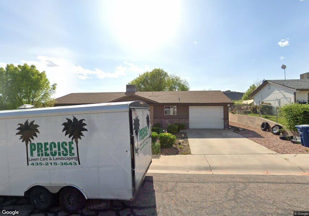
959 N 2050 E St. George, UT 84770
Estimated Value: $333,000 - $384,000
4
Beds
1
Bath
1,144
Sq Ft
$310/Sq Ft
Est. Value
About This Home
This home is located at 959 N 2050 E, St. George, UT 84770 and is currently estimated at $354,611, approximately $309 per square foot. 959 N 2050 E is a home located in Washington County with nearby schools including Sandstone School, Pine View Middle School, and Fossil Ridge Intermediate School.
Ownership History
Date
Name
Owned For
Owner Type
Purchase Details
Closed on
Sep 20, 2021
Sold by
Maggard Stanley R and Maggard Diane H
Bought by
Stanley And Diane Maggard Family Trust and Maggard
Current Estimated Value
Purchase Details
Closed on
Aug 17, 2021
Sold by
Maggard Stanley R and Maggard Diane H
Bought by
Maggard Stanley Reed and Maggard Diane H
Purchase Details
Closed on
Nov 19, 2013
Sold by
Baggs Robbin and Jones Robbin C
Bought by
Maggard Stanley R and Maggard Diane H
Create a Home Valuation Report for This Property
The Home Valuation Report is an in-depth analysis detailing your home's value as well as a comparison with similar homes in the area
Purchase History
| Date | Buyer | Sale Price | Title Company |
|---|---|---|---|
| Stanley And Diane Maggard Family Trust | -- | None Listed On Document | |
| Maggard Stanley Reed | -- | None Available | |
| Maggard Stanley R | -- | Southern Utah Title |
Source: Public Records
Tax History
| Year | Tax Paid | Tax Assessment Tax Assessment Total Assessment is a certain percentage of the fair market value that is determined by local assessors to be the total taxable value of land and additions on the property. | Land | Improvement |
|---|---|---|---|---|
| 2025 | $1,014 | $151,635 | $49,500 | $102,135 |
| 2023 | $1,070 | $159,830 | $46,750 | $113,080 |
| 2022 | $1,192 | $167,420 | $46,750 | $120,670 |
| 2021 | $1,052 | $220,400 | $65,000 | $155,400 |
| 2020 | $999 | $197,200 | $60,000 | $137,200 |
| 2019 | $1,014 | $195,500 | $60,000 | $135,500 |
| 2018 | $842 | $81,345 | $0 | $0 |
| 2017 | $810 | $78,265 | $0 | $0 |
| 2016 | $1,377 | $123,100 | $0 | $0 |
| 2015 | $1,331 | $114,100 | $0 | $0 |
| 2014 | $1,210 | $104,400 | $0 | $0 |
Source: Public Records
Map
Nearby Homes
- 1033 N 2050 East Cir
- 1063 N 2050 E
- 1934 E 1060 N
- 2031 E Colorado Dr Unit 204
- 1052 N 1830 Cir E
- 1052 N 1830 East Cir
- 2056 E Middleton Dr Unit 36
- 0 E 1200 Cir N
- 1084 N Montana Ln
- 1025 N 1800 E
- 1761 E 1150 N Unit 24
- 1761 E 1150 N
- 2148 E 660 North Cir
- 59 S Angels Landing Dr
- 2071 E 575 N
- 2313 E 700 N
- 0 Grand Heights Lot #64 Unit 26-270065
- 0 Grand Heights Lot #64 Unit 115160
- 840 N Twin Lakes Dr
- 840 N Twin Lakes Dr Unit 404
- 959 N 2050 East Cir
- 973 N 2050 East Cir
- 943 N 2050 East Cir
- 2013 E Middleton Dr
- 989 N 2050 East Cir
- 989 N 2050 Cir E
- 929 N 2050 East Cir
- 962 N 2050 East Cir
- 948 N 2050 E
- 978 N 2050 East Cir
- 978 N 2050 E
- 932 N 2050 East Cir
- 992 N 2050 Cir E
- 995 N 2050 East Cir
- 2019 E Middleton Dr
- 992 N 2050 East Cir
- 958 N 2000 E
- 944 N 2000 E
- 2057 E Middleton Dr
- 927 N 2000 E
Your Personal Tour Guide
Ask me questions while you tour the home.