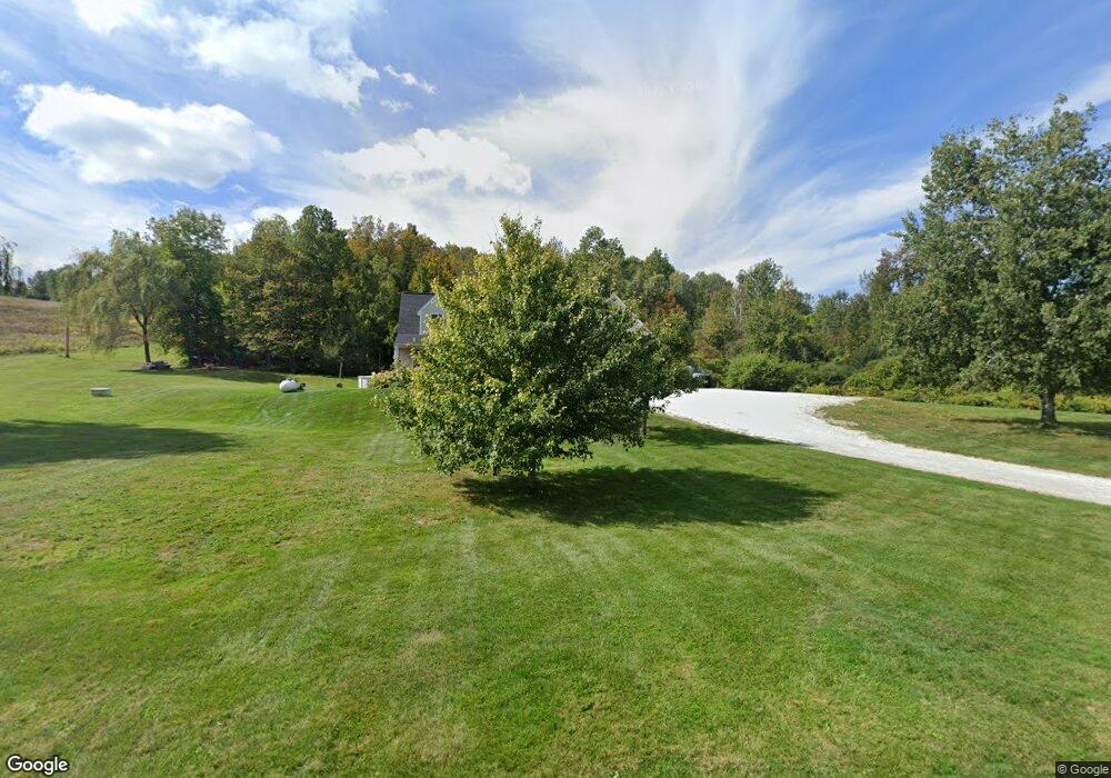
959 Sand Mill Rd Cheshire, MA 01225
Estimated Value: $442,000 - $494,000
1
Bed
2
Baths
1,960
Sq Ft
$237/Sq Ft
Est. Value
About This Home
This home is located at 959 Sand Mill Rd, Cheshire, MA 01225 and is currently estimated at $463,979, approximately $236 per square foot. 959 Sand Mill Rd is a home located in Berkshire County with nearby schools including Hoosac Valley Middle & High School, Berkshire Arts & Technology Charter Public School, and St. Stanislaus Kostka School.
Ownership History
Date
Name
Owned For
Owner Type
Purchase Details
Closed on
Mar 31, 2005
Sold by
Marko Brian D and Marko Mary Beth
Bought by
Maxwell Marshall D and Maxwell Jennifer J
Current Estimated Value
Home Financials for this Owner
Home Financials are based on the most recent Mortgage that was taken out on this home.
Original Mortgage
$208,000
Interest Rate
5.61%
Mortgage Type
Purchase Money Mortgage
Create a Home Valuation Report for This Property
The Home Valuation Report is an in-depth analysis detailing your home's value as well as a comparison with similar homes in the area
Home Values in the Area
Average Home Value in this Area
Purchase History
| Date | Buyer | Sale Price | Title Company |
|---|---|---|---|
| Maxwell Marshall D | $60,000 | -- | |
| Maxwell Marshall D | $60,000 | -- |
Source: Public Records
Mortgage History
| Date | Status | Borrower | Loan Amount |
|---|---|---|---|
| Open | Maxwell Marshall D | $20,700 | |
| Open | Maxwell Marshall D | $232,000 | |
| Closed | Maxwell Marshall D | $208,000 |
Source: Public Records
Tax History
| Year | Tax Paid | Tax Assessment Tax Assessment Total Assessment is a certain percentage of the fair market value that is determined by local assessors to be the total taxable value of land and additions on the property. | Land | Improvement |
|---|---|---|---|---|
| 2025 | $4,593 | $412,700 | $60,100 | $352,600 |
| 2024 | $4,549 | $393,200 | $57,400 | $335,800 |
| 2023 | $4,319 | $360,800 | $60,900 | $299,900 |
| 2022 | $3,875 | $303,700 | $63,900 | $239,800 |
| 2021 | $3,891 | $291,000 | $60,900 | $230,100 |
| 2020 | $3,903 | $290,400 | $60,900 | $229,500 |
| 2019 | $3,364 | $256,800 | $67,400 | $189,400 |
| 2018 | $3,235 | $247,700 | $67,400 | $180,300 |
| 2017 | $3,069 | $247,700 | $67,400 | $180,300 |
| 2016 | $2,918 | $238,000 | $67,400 | $170,600 |
| 2015 | $2,793 | $233,900 | $60,500 | $173,400 |
Source: Public Records
Map
Nearby Homes
- 1021 Sand Mill Rd
- 920 Sand Mill Rd
- 968 Sand Mill Rd
- 869 Sandmill Rd
- 869 Sand Mill Rd
- 1020 Sand Mill Rd
- 860 Sand Mill Rd
- 1031 Sand Mill Rd
- 1052 Sand Mill Rd
- 24 Leo Ct
- 828 Sand Mill Rd
- 1068 Sand Mill Rd
- 488 Savoy Rd
- 462 Savoy Rd
- 534 Savoy Rd
- 520 Savoy Rd
- 870 Stafford Hill Rd
- 1078 Sand Mill Rd
- 446 Savoy Rd
- 480 Savoy Rd Unit 494
Your Personal Tour Guide
Ask me questions while you tour the home.