96-80 Rocky Point Bourne, MA 02532
Estimated Value: $3,076,000 - $3,429,821
About This Home
This home is located at 96-80 Rocky Point, Bourne, MA 02532 and is currently estimated at $3,290,607, approximately $469 per square foot. 96-80 Rocky Point is a home located in Barnstable County with nearby schools including Bourne High School and St Margaret Regional School.
Ownership History
We collect this data history from publicly available records. To have your information removed, we recommend requesting removal directly through your county’s website.
Purchase Details
Home Financials for this Owner
Home Financials are based on the most recent Mortgage that was taken out on this home.Purchase History
We collect this data history from publicly available records. To have your information removed, we recommend requesting removal directly through your county’s website.
| Date | Buyer | Sale Price | Title Company |
|---|---|---|---|
| $2,227,500 | None Available |
Mortgage History
We collect this data history from publicly available records. To have your information removed, we recommend requesting removal directly through your county’s website.
| Date | Status | Borrower | Loan Amount |
|---|---|---|---|
| Open | $1,728,000 |
Tax History
We collect this data history from publicly available records. To have your information removed, we recommend requesting removal directly through your county’s website.
| Year | Tax Paid | Tax Assessment Tax Assessment Total Assessment is a certain percentage of the fair market value that is determined by local assessors to be the total taxable value of land and additions on the property. | Land | Improvement |
|---|---|---|---|---|
| 2025 | $25,147 | $3,219,800 | $2,086,800 | $1,133,000 |
| 2024 | $24,871 | $3,101,100 | $1,987,300 | $1,113,800 |
| 2023 | $24,215 | $2,748,600 | $1,758,800 | $989,800 |
| 2022 | $23,282 | $2,307,400 | $1,556,400 | $751,000 |
| 2021 | $20,146 | $1,870,600 | $1,416,400 | $454,200 |
| 2020 | $19,814 | $1,844,900 | $1,402,900 | $442,000 |
| 2019 | $19,154 | $1,822,500 | $1,402,900 | $419,600 |
| 2018 | $18,190 | $1,725,800 | $1,336,300 | $389,500 |
| 2017 | $16,574 | $1,609,100 | $1,265,500 | $343,600 |
| 2016 | $15,963 | $1,571,200 | $1,265,500 | $305,700 |
| 2015 | $15,822 | $1,571,200 | $1,265,500 | $305,700 |
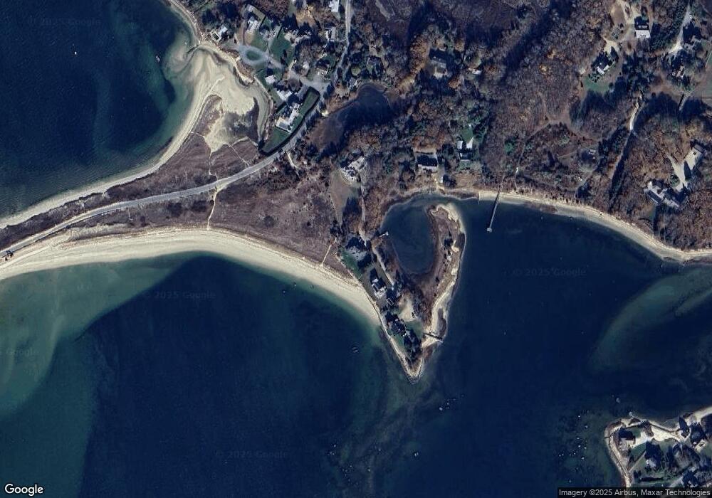
Map
- 35 Benedict Rd
- 443 Shore Rd
- 4 Cross Rd
- 30 Seabreeze Dr
- 2 Jefferson Rd
- 47 Cliff Rd
- 36 Starboard Rd Unit D
- 232 County Rd
- 5 Bell Rd
- 566 Shore Rd
- 10 Howard Ave
- 17 Old Colony Ave
- 14 Old Colony Ave
- 13 Laurel Hill Ct Unit 13
- 13 Laurel Hill Ct
- 2 Candleberry Ct Unit 2
- 10 Roundhouse Rd Unit 10
- 49 Round House Rd
- 22 Prestwick Rd Unit 22
- 8 Friendship Ln
- 104 Rocky Point Rd
- 104 Rocky Point Rd
- 96-80 Rocky Pt Rd
- 96 Rocky Point Rd
- 112 Rocky Point Rd
- 112 Rocky Point Rd
- 90 Rocky Point Rd
- 81 Rocky Point Rd
- 80 Rocky Point Rd
- 73 Rocky Point Rd
- 80 Rocky Point Rd
- 71 Rocky Point Rd
- 77 Mashnee Rd
- 76 Mashnee Rd
- 76 Mashnee Rd
- 73 Mashnee Rd
- 5 Spindrift Ln
- 5 Spindrift Ln Unit WINTER
- 5 Spindrift Ln
- 88 Monument Neck Rd
Ask me questions while you tour the home.