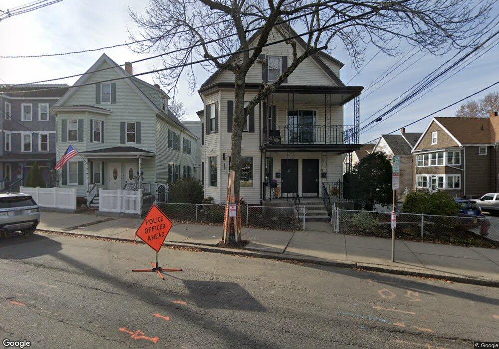
96 Holland St Somerville, MA 02144
Davis Square NeighborhoodEstimated Value: $1,391,426
6
Beds
5
Baths
570
Sq Ft
$2,441/Sq Ft
Est. Value
About This Home
This home is located at 96 Holland St, Somerville, MA 02144 and is currently estimated at $1,391,426, approximately $2,441 per square foot. 96 Holland St is a home located in Middlesex County with nearby schools including Somerville High School, Benjamin Banneker Charter Public School, and St. Clement Elementary School.
Ownership History
Date
Name
Owned For
Owner Type
Purchase Details
Closed on
Nov 29, 2006
Sold by
Moura Jose R
Bought by
Kitmiridis George and Kitmiridis Soula
Current Estimated Value
Home Financials for this Owner
Home Financials are based on the most recent Mortgage that was taken out on this home.
Original Mortgage
$482,300
Outstanding Balance
$289,155
Interest Rate
6.36%
Mortgage Type
Commercial
Estimated Equity
$1,102,271
Create a Home Valuation Report for This Property
The Home Valuation Report is an in-depth analysis detailing your home's value as well as a comparison with similar homes in the area
Home Values in the Area
Average Home Value in this Area
Purchase History
We collect this data history from publicly available records. To have your information removed, we recommend requesting removal directly through your county’s website.
| Date | Buyer | Sale Price | Title Company |
|---|---|---|---|
| Kitmiridis George | $689,000 | -- |
Source: Public Records
Mortgage History
We collect this data history from publicly available records. To have your information removed, we recommend requesting removal directly through your county’s website.
| Date | Status | Borrower | Loan Amount |
|---|---|---|---|
| Open | Kitmiridis George | $482,300 |
Source: Public Records
Tax History
| Year | Tax Paid | Tax Assessment Tax Assessment Total Assessment is a certain percentage of the fair market value that is determined by local assessors to be the total taxable value of land and additions on the property. | Land | Improvement |
|---|---|---|---|---|
| 2025 | -- | $1,484,100 | $698,400 | $785,700 |
| 2024 | -- | $1,484,100 | $698,400 | $785,700 |
| 2023 | $0 | $1,514,100 | $698,400 | $815,700 |
| 2022 | $0 | $1,467,300 | $698,400 | $768,900 |
| 2021 | $0 | $1,433,900 | $698,400 | $735,500 |
| 2020 | $10,847 | $1,367,100 | $698,400 | $668,700 |
| 2019 | $0 | $1,200,300 | $665,200 | $535,100 |
| 2018 | $0 | $1,093,400 | $665,200 | $428,200 |
| 2017 | $3,481 | $1,039,100 | $627,600 | $411,500 |
| 2016 | -- | $956,700 | $581,900 | $374,800 |
| 2015 | -- | $925,600 | $554,200 | $371,400 |
Source: Public Records
Map
Nearby Homes
- 1 Tannery Brook Row Unit 1F
- 58 Elmwood St Unit 58
- 3 Tannery Brook Row Unit 8
- 11 Tannery Brook Row Unit 3
- 1004 Broadway Unit 3
- 12 Shea Rd
- 17 Cameron Ave Unit 17
- 23 Day St
- 24 Camp St Unit 3
- 2353 Massachusetts Ave Unit 44
- 2353 Massachusetts Ave Unit 93
- 5-7 Whitman St
- 5-7 Whitman St Unit 1
- 19 Day St Unit 1
- 39 Whitman St
- 33 Newbury St Unit 1
- 5 Kenwood St Unit 3
- 5 Kenwood St Unit 2
- 30 Clarendon Ave
- 9 Kidder Ave Unit 2
- 10 Jay St
- 10 Jay St Unit 7-3
- 10 Jay St Unit 10-2
- 10 Jay St Unit 2
- 10 Jay St Unit 5
- 10 Jay St Unit 11
- 10 Jay St
- 10 Jay St Unit 10
- 10 Jay St Unit 3
- 10 Jay St Unit 1
- 12 Jay St
- 12 Jay St Unit 2
- 92 Holland St
- 92 Holland St Unit 3
- 96 Holland St Unit 1B
- 88 Holland St
- 90 Holland St Unit 2
- 90 Holland St
- 14 Jay St
- 82-84 Holland Streeet
Your Personal Tour Guide
Ask me questions while you tour the home.