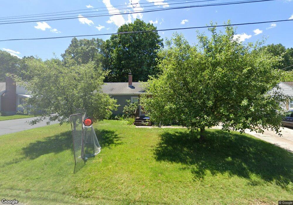
96 Leo Dr Chicopee, MA 01020
Fairview NeighborhoodEstimated Value: $301,033 - $346,000
3
Beds
2
Baths
1,048
Sq Ft
$303/Sq Ft
Est. Value
About This Home
This home is located at 96 Leo Dr, Chicopee, MA 01020 and is currently estimated at $317,758, approximately $303 per square foot. 96 Leo Dr is a home located in Hampden County with nearby schools including Streiber Elementary School, Fairview Middle School, and Chicopee Comprehensive High School.
Ownership History
Date
Name
Owned For
Owner Type
Purchase Details
Closed on
Aug 1, 2007
Sold by
Goyette Lorraine T and Goyette Ulysses R
Bought by
Galindo Cara L and Galindo Christopher
Current Estimated Value
Home Financials for this Owner
Home Financials are based on the most recent Mortgage that was taken out on this home.
Original Mortgage
$186,423
Outstanding Balance
$118,455
Interest Rate
6.73%
Mortgage Type
VA
Estimated Equity
$199,303
Create a Home Valuation Report for This Property
The Home Valuation Report is an in-depth analysis detailing your home's value as well as a comparison with similar homes in the area
Home Values in the Area
Average Home Value in this Area
Purchase History
| Date | Buyer | Sale Price | Title Company |
|---|---|---|---|
| Galindo Cara L | $182,500 | -- |
Source: Public Records
Mortgage History
| Date | Status | Borrower | Loan Amount |
|---|---|---|---|
| Open | Galindo Cara L | $186,423 |
Source: Public Records
Tax History
| Year | Tax Paid | Tax Assessment Tax Assessment Total Assessment is a certain percentage of the fair market value that is determined by local assessors to be the total taxable value of land and additions on the property. | Land | Improvement |
|---|---|---|---|---|
| 2025 | $4,242 | $279,800 | $112,000 | $167,800 |
| 2024 | $4,028 | $272,900 | $109,800 | $163,100 |
| 2023 | $3,822 | $252,300 | $99,800 | $152,500 |
| 2022 | $3,672 | $216,100 | $86,700 | $129,400 |
| 2021 | $3,497 | $198,600 | $78,900 | $119,700 |
| 2020 | $3,379 | $193,500 | $81,100 | $112,400 |
| 2019 | $3,344 | $186,200 | $81,100 | $105,100 |
| 2018 | $3,107 | $169,700 | $77,200 | $92,500 |
| 2017 | $3,067 | $177,200 | $70,900 | $106,300 |
| 2016 | $3,101 | $183,400 | $70,900 | $112,500 |
| 2015 | $2,906 | $165,700 | $70,900 | $94,800 |
| 2014 | $1,453 | $165,700 | $70,900 | $94,800 |
Source: Public Records
Map
Nearby Homes
- 119 Oakridge St
- 460 Irene St
- 67 Streiber Dr
- 83 Old Farm Rd
- 39 Dixie Terrace
- 0 Irene St
- 1697 Westover Rd
- 1760 Westover Rd Unit 50
- 1760 Westover Rd Unit 5
- 70 Greenwood Terrace
- 58 Robinridge Rd
- 15 Cross St
- 107 Beauregard Terrace
- 37 Greenwood Terrace
- 144 Horseshoe Dr
- 156 Horseshoe Dr
- 1246 Granby Rd Unit 66
- 141 Sunrise Ln
- 60 Honeysuckle Dr
- 72 Honeysuckle Dr
Your Personal Tour Guide
Ask me questions while you tour the home.