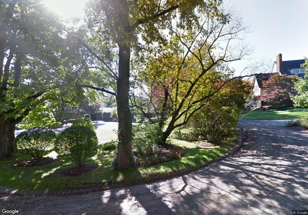
96 Manor Ct Bloomfield Hills, MI 48304
Estimated Value: $1,860,000 - $2,328,000
5
Beds
6
Baths
5,418
Sq Ft
$385/Sq Ft
Est. Value
About This Home
This home is located at 96 Manor Ct, Bloomfield Hills, MI 48304 and is currently estimated at $2,086,787, approximately $385 per square foot. 96 Manor Ct is a home located in Oakland County with nearby schools including Harlan Elementary School, Derby Middle School, and Ernest W. Seaholm High School.
Ownership History
Date
Name
Owned For
Owner Type
Purchase Details
Closed on
May 16, 2007
Sold by
Ghaemi Mohammed and Ghaemi Soraya
Bought by
Ghaemi Soraya
Current Estimated Value
Home Financials for this Owner
Home Financials are based on the most recent Mortgage that was taken out on this home.
Original Mortgage
$350,000
Interest Rate
6.54%
Mortgage Type
New Conventional
Create a Home Valuation Report for This Property
The Home Valuation Report is an in-depth analysis detailing your home's value as well as a comparison with similar homes in the area
Home Values in the Area
Average Home Value in this Area
Purchase History
| Date | Buyer | Sale Price | Title Company |
|---|---|---|---|
| Ghaemi Soraya | -- | Rels Title | |
| Ghaemi Mohammed | -- | Rels Title |
Source: Public Records
Mortgage History
| Date | Status | Borrower | Loan Amount |
|---|---|---|---|
| Closed | Ghaemi Mohammed | $350,000 |
Source: Public Records
Tax History
| Year | Tax Paid | Tax Assessment Tax Assessment Total Assessment is a certain percentage of the fair market value that is determined by local assessors to be the total taxable value of land and additions on the property. | Land | Improvement |
|---|---|---|---|---|
| 2025 | $27,121 | $893,270 | $163,380 | $729,890 |
| 2024 | $15,024 | $893,270 | $0 | $0 |
| 2023 | $14,418 | $860,120 | $0 | $0 |
| 2022 | $24,406 | $795,800 | $0 | $0 |
| 2021 | $24,608 | $768,440 | $0 | $0 |
| 2020 | $13,850 | $766,790 | $0 | $0 |
| 2019 | $24,569 | $744,550 | $0 | $0 |
| 2018 | $24,384 | $770,230 | $0 | $0 |
| 2017 | $24,368 | $750,170 | $0 | $0 |
| 2016 | $24,501 | $714,280 | $0 | $0 |
| 2015 | -- | $637,790 | $0 | $0 |
| 2014 | -- | $609,320 | $0 | $0 |
| 2011 | -- | $588,590 | $0 | $0 |
Source: Public Records
Map
Nearby Homes
- 1111 N Old Woodward Ave Unit 23
- 1115 N Old Woodward Ave Unit 66
- 1115 N Old Woodward Ave
- 1115 N Old Woodward Ave Unit 57
- 1115 N Old Woodward #76 Ave
- 1115 N Old Woodward Ave Unit 52
- 1115 N Old Woodward Ave Unit 61
- 723 N Old Woodward Ave
- 488 Vinewood Ave
- 667 Oak Ave
- 551 N Old Woodward Ave Unit 551
- 600 Woodland St
- 750 Hazelwood St
- 1295 Lakeside Dr
- 532 Brookside Ave
- 799 Vinewood Ave
- 1551 Lakeside Dr
- 484 Park St
- 5275 Brookdale Rd
- 405 Bonnie Brier St
Your Personal Tour Guide
Ask me questions while you tour the home.