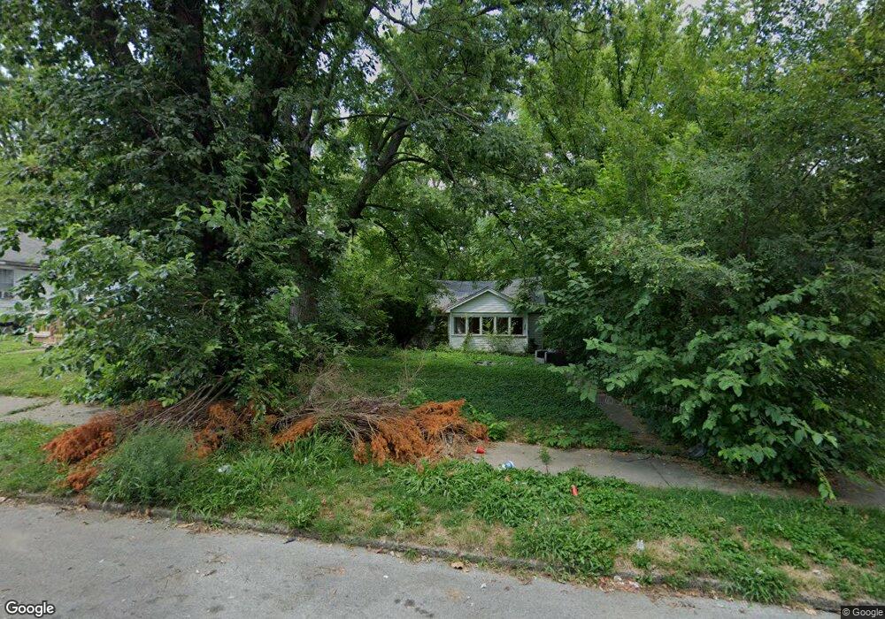
960 W View St Decatur, IL 62522
Garfield Park NeighborhoodEstimated Value: $29,000 - $49,000
2
Beds
1
Bath
676
Sq Ft
$56/Sq Ft
Est. Value
About This Home
This home is located at 960 W View St, Decatur, IL 62522 and is currently estimated at $38,091, approximately $56 per square foot. 960 W View St is a home located in Macon County with nearby schools including Stephen Decatur Middle School, St. Patrick School, and Teen Challenge-Home For Girls.
Ownership History
Date
Name
Owned For
Owner Type
Purchase Details
Closed on
Jul 14, 2020
Sold by
Kingdom Rd Llc
Bought by
Lee Talisha
Current Estimated Value
Purchase Details
Closed on
Sep 27, 2018
Sold by
Fx1 Llc
Bought by
Thompson Michael Alan
Purchase Details
Closed on
Aug 13, 2018
Sold by
Abw Auctions Llc
Bought by
Fx1 Llc
Purchase Details
Closed on
Aug 7, 2018
Sold by
Macon County As
Bought by
Abw Auctions Llc
Purchase Details
Closed on
Aug 21, 2015
Sold by
Rolle Johnnie S
Bought by
Macon County
Purchase Details
Closed on
May 5, 2004
Sold by
Donelson Zomo Ruth
Bought by
Rolle Johnnie J
Purchase Details
Closed on
Mar 1, 1992
Create a Home Valuation Report for This Property
The Home Valuation Report is an in-depth analysis detailing your home's value as well as a comparison with similar homes in the area
Home Values in the Area
Average Home Value in this Area
Purchase History
| Date | Buyer | Sale Price | Title Company |
|---|---|---|---|
| Lee Talisha | -- | None Available | |
| Thompson Michael Alan | $3,000 | None Available | |
| Fx1 Llc | $1,000 | None Available | |
| Abw Auctions Llc | -- | None Available | |
| Macon County | -- | None Available | |
| Rolle Johnnie J | -- | None Available | |
| -- | -- | -- | |
| -- | $13,500 | -- |
Source: Public Records
Tax History
| Year | Tax Paid | Tax Assessment Tax Assessment Total Assessment is a certain percentage of the fair market value that is determined by local assessors to be the total taxable value of land and additions on the property. | Land | Improvement |
|---|---|---|---|---|
| 2024 | $280 | $2,895 | $437 | $2,458 |
| 2023 | $278 | $2,793 | $422 | $2,371 |
| 2022 | $269 | $2,628 | $390 | $2,238 |
| 2021 | $253 | $2,455 | $365 | $2,090 |
| 2020 | $249 | $2,342 | $349 | $1,993 |
| 2019 | $249 | $2,342 | $349 | $1,993 |
| 2018 | $0 | $96 | $48 | $48 |
| 2017 | $0 | $98 | $49 | $49 |
| 2016 | $0 | $100 | $50 | $50 |
| 2015 | -- | $98 | $49 | $49 |
| 2014 | $517 | $5,354 | $202 | $5,152 |
| 2013 | $530 | $5,555 | $210 | $5,345 |
Source: Public Records
Map
Nearby Homes
- 960 W Green St
- 1034 N Oakland Ave
- 1097 W Green St
- 979 W Cerro Gordo St
- 1213 W Marietta St
- 1329 N Walnut Grove Ave
- 1429 N Walnut Grove Ave
- 958 W William St
- 1368 W Marietta St
- 1124 W Cushing St
- 254 N Pine St
- 609 W William St
- 1653 N Maple Ave
- 717 W Prairie Ave Unit 2
- 254 W Leafland Ave
- 1659 N Maple Ave
- 1005 W Main St
- 899 W Main St
- 442 W Prairie Ave
- 233 N Edward St
Your Personal Tour Guide
Ask me questions while you tour the home.