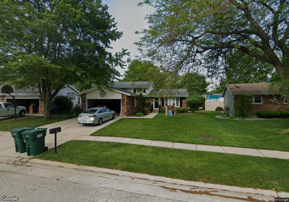
961 Pheasant Dr Bradley, IL 60915
Estimated Value: $245,000 - $285,000
About This Home
This home is located at 961 Pheasant Dr, Bradley, IL 60915 and is currently estimated at $260,311. 961 Pheasant Dr is a home located in Kankakee County with nearby schools including Bradley East Elementary School, Bradley West Elementary School, and Bradley Central Middle School.
Ownership History
We collect this data history from publicly available records. To have your information removed, we recommend requesting removal directly through your county’s website.
Purchase Details
Home Financials for this Owner
Home Financials are based on the most recent Mortgage that was taken out on this home.Home Values in the Area
Average Home Value in this Area
Purchase History
We collect this data history from publicly available records. To have your information removed, we recommend requesting removal directly through your county’s website.
| Date | Buyer | Sale Price | Title Company |
|---|---|---|---|
| $180,000 | Standard Title |
Mortgage History
We collect this data history from publicly available records. To have your information removed, we recommend requesting removal directly through your county’s website.
| Date | Status | Borrower | Loan Amount |
|---|---|---|---|
| Open | $144,000 |
Tax History
We collect this data history from publicly available records. To have your information removed, we recommend requesting removal directly through your county’s website.
| Year | Tax Paid | Tax Assessment Tax Assessment Total Assessment is a certain percentage of the fair market value that is determined by local assessors to be the total taxable value of land and additions on the property. | Land | Improvement |
|---|---|---|---|---|
| 2025 | $5,507 | $78,454 | $6,956 | $71,498 |
| 2024 | $5,507 | $69,017 | $6,562 | $62,455 |
| 2023 | $5,053 | $61,681 | $6,076 | $55,605 |
| 2022 | $4,865 | $57,390 | $5,856 | $51,534 |
| 2021 | $4,682 | $55,036 | $5,727 | $49,309 |
| 2020 | $4,458 | $53,563 | $5,574 | $47,989 |
| 2019 | $4,349 | $50,211 | $5,412 | $44,799 |
| 2018 | $4,269 | $49,469 | $5,332 | $44,137 |
| 2017 | $4,251 | $48,262 | $5,202 | $43,060 |
| 2016 | $4,074 | $46,717 | $5,125 | $41,592 |
| 2015 | $3,885 | $44,670 | $5,074 | $39,596 |
| 2014 | $3,833 | $45,191 | $5,074 | $40,117 |
| 2013 | -- | $46,719 | $5,074 | $41,645 |
Map
- 856 Quail Dr
- 973 Cardinal Dr
- 1150 Pheasant Dr
- 1443 Truman Dr
- 1511 Lady Brunetta Rd
- Lot 13 North Point E Cardinal Dr
- 545 N Monroe Ave
- 1331 Potomac Place
- 1354 Rivard Dr
- 1486 Bradley Way
- 1432 Northfield Meadows Blvd
- 1572 Cardinal Dr
- 1325 N Arthur Burch Dr Unit B10
- 1325 N Arthur Burch Dr Unit C10
- 1355 N Arthur Burch Dr Unit F13
- 1355 N Arthur Burch Dr Unit R21
- 1602 Amhurst Way
- 1606 Amhurst Way
- 165 S Madison Ave
- 1490 Derby Dr
Ask me questions while you tour the home.