962 N 550 W Unit 3 Mapleton, UT 84664
Estimated Value: $870,000 - $1,014,000
3
Beds
3
Baths
4,224
Sq Ft
$223/Sq Ft
Est. Value
About This Home
This home is located at 962 N 550 W Unit 3, Mapleton, UT 84664 and is currently estimated at $942,530, approximately $223 per square foot. 962 N 550 W Unit 3 is a home located in Utah County with nearby schools including Mapleton School, Mapleton Junior High School, and Maple Mountain High School.
Ownership History
Date
Name
Owned For
Owner Type
Purchase Details
Closed on
Oct 17, 2017
Sold by
Arive Homes Llc
Bought by
Gadd Carol and Gadd Wendell
Current Estimated Value
Purchase Details
Closed on
Jul 28, 2017
Sold by
91275 Llc
Bought by
Arive Homes Llc
Purchase Details
Closed on
Apr 14, 2017
Sold by
Taylored Land Development L L C
Bought by
Arive Homes Llc
Home Financials for this Owner
Home Financials are based on the most recent Mortgage that was taken out on this home.
Original Mortgage
$37,000
Interest Rate
4.21%
Mortgage Type
Construction
Create a Home Valuation Report for This Property
The Home Valuation Report is an in-depth analysis detailing your home's value as well as a comparison with similar homes in the area
Home Values in the Area
Average Home Value in this Area
Purchase History
| Date | Buyer | Sale Price | Title Company |
|---|---|---|---|
| Gadd Carol | -- | Provo Land Title Co | |
| Arive Homes Llc | -- | Provo Land Title Co | |
| Arive Homes Llc | -- | Provo Land Title Co |
Source: Public Records
Mortgage History
| Date | Status | Borrower | Loan Amount |
|---|---|---|---|
| Previous Owner | Arive Homes Llc | $37,000 |
Source: Public Records
Tax History
| Year | Tax Paid | Tax Assessment Tax Assessment Total Assessment is a certain percentage of the fair market value that is determined by local assessors to be the total taxable value of land and additions on the property. | Land | Improvement |
|---|---|---|---|---|
| 2025 | $4,189 | $461,175 | -- | -- |
| 2024 | $4,189 | $410,355 | $0 | $0 |
| 2023 | $4,398 | $433,510 | $0 | $0 |
| 2022 | $4,474 | $436,150 | $0 | $0 |
| 2021 | $3,727 | $557,800 | $193,800 | $364,000 |
| 2020 | $3,603 | $521,500 | $171,500 | $350,000 |
| 2019 | $3,217 | $475,400 | $152,000 | $323,400 |
| 2018 | $3,080 | $238,260 | $0 | $0 |
Source: Public Records
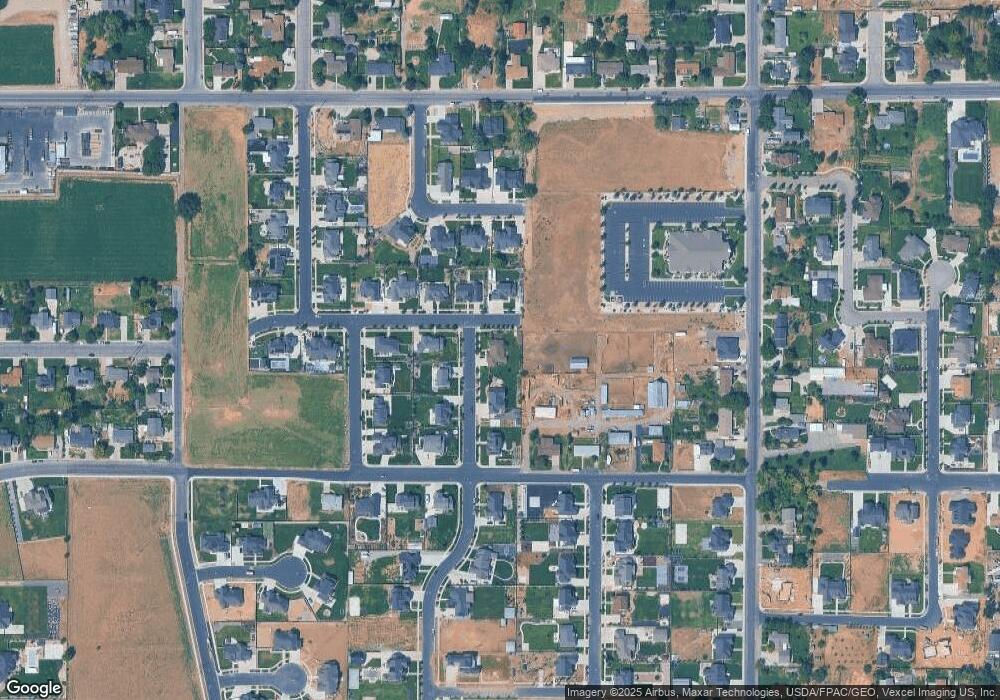
Map
Nearby Homes
- 888 N 550 W Unit 2
- 516 W 1000 N Unit 4
- 583 W 1000 N Unit 28
- 548 W 1000 N Unit 5
- 915 N 550 W Unit 27
- 869 N 550 W Unit 26
- 582 W 1000 N Unit 6
- 832 N 550 W Unit 1
- 832 N 550 W
- 617 W 1000 N Unit 21
- 519 W 1100 N
- 582 W 800 N Unit 25
- 543 W 1100 N Unit 6
- 604 W 1000 N Unit 7
- 918 N 650 W Unit 22
- 486 W 800 N
- 577 W 1100 N
- 872 N 650 W Unit 23
- 420 W 800 N
- 642 W 1000 N Unit 8
Your Personal Tour Guide
Ask me questions while you tour the home.