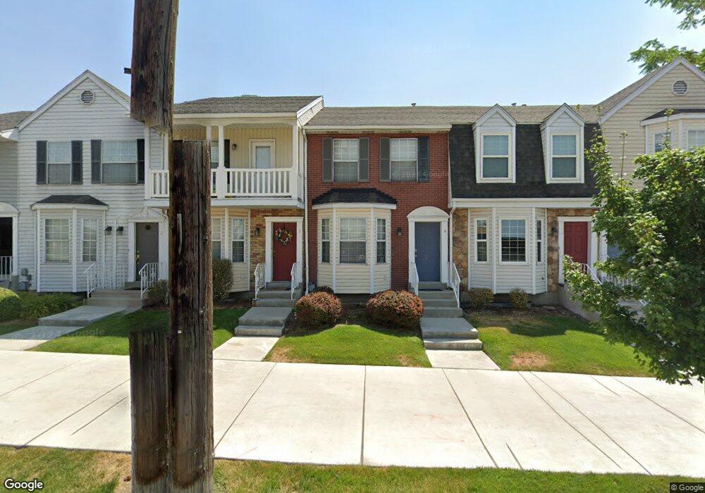
962 N 900 E Provo, UT 84604
Foot Hills NeighborhoodEstimated Value: $463,000 - $514,802
About This Home
This home is located at 962 N 900 E, Provo, UT 84604 and is currently estimated at $487,201, approximately $485 per square foot. 962 N 900 E is a home located in Utah County with nearby schools including Wasatch Elementary School, Centennial Middle School, and Timpview High School.
Ownership History
We collect this data history from publicly available records. To have your information removed, we recommend requesting removal directly through your county’s website.
Purchase Details
Home Financials for this Owner
Home Financials are based on the most recent Mortgage that was taken out on this home.Purchase Details
Home Financials for this Owner
Home Financials are based on the most recent Mortgage that was taken out on this home.Purchase Details
Home Financials for this Owner
Home Financials are based on the most recent Mortgage that was taken out on this home.Purchase Details
Home Financials for this Owner
Home Financials are based on the most recent Mortgage that was taken out on this home.Purchase Details
Purchase Details
Home Financials for this Owner
Home Financials are based on the most recent Mortgage that was taken out on this home.Home Values in the Area
Average Home Value in this Area
Purchase History
We collect this data history from publicly available records. To have your information removed, we recommend requesting removal directly through your county’s website.
| Date | Buyer | Sale Price | Title Company |
|---|---|---|---|
| -- | None Listed On Document | ||
| -- | Rampart Title | ||
| -- | Access Title Company | ||
| -- | First American Pinehurst | ||
| -- | First American Title Agency | ||
| -- | Old Republic Title Of Utah |
Mortgage History
We collect this data history from publicly available records. To have your information removed, we recommend requesting removal directly through your county’s website.
| Date | Status | Borrower | Loan Amount |
|---|---|---|---|
| Open | $348,750 | ||
| Previous Owner | $7,268 | ||
| Previous Owner | $138,000 | ||
| Previous Owner | $138,750 | ||
| Previous Owner | $108,000 |
Tax History
We collect this data history from publicly available records. To have your information removed, we recommend requesting removal directly through your county’s website.
| Year | Tax Paid | Tax Assessment Tax Assessment Total Assessment is a certain percentage of the fair market value that is determined by local assessors to be the total taxable value of land and additions on the property. | Land | Improvement |
|---|---|---|---|---|
| 2026 | $4,130 | $414,200 | $64,400 | $349,800 |
| 2025 | $2,458 | $412,200 | $60,600 | $351,600 |
| 2024 | $2,458 | $242,000 | $0 | $0 |
| 2023 | $147 | $241,615 | $0 | $0 |
| 2022 | $2,343 | $229,240 | $0 | $0 |
| 2021 | $1,969 | $336,100 | $40,300 | $295,800 |
| 2020 | $1,943 | $310,800 | $37,300 | $273,500 |
| 2019 | $1,691 | $281,300 | $34,000 | $247,300 |
| 2018 | $1,544 | $260,500 | $34,000 | $226,500 |
| 2017 | $1,288 | $119,405 | $0 | $0 |
| 2016 | $1,279 | $110,550 | $0 | $0 |
| 2015 | $1,174 | $102,575 | $0 | $0 |
| 2014 | $1,032 | $93,995 | $0 | $0 |
Map
- 992 N 900 E Unit 29
- 866 E 700 N Unit C3
- 859 E 620 N Unit H4
- 1084 E 620 N
- 1288 Cherry Ln
- 807 Hillsdale Ln
- 785 E 560 N Unit 106
- 785 E 560 N Unit 108
- 785 E 560 N Unit 105
- 785 E 560 N Unit 407
- 765 E 560 N Unit 103
- 1167 Briar Ave
- 474 N 800 E
- 1040 N Oakmont Ln
- 372 N 800 E
- 455 Belmont Place Unit 364
- 405 Belmont Place Unit 350
- 635 N Ridge Dr Unit 25
- 386 N 500 E
- 1006 E 300 N
- 956 N 900 E
- 956 N 900 E
- 956 N 900 E
- 956 N 900 E
- 956 N 900 E
- 956 N 900 E
- 956 N 900 E Unit 3
- 956 N 900 E Unit 2
- 956 N 900 E Unit 4
- 956 N 900 E Unit 6
- 962 N 900 E
- 962 N 900 E Unit 9
- 962 N 900 E
- 962 N 900 E
- 962 N 900 E
- 962 N 900 E Unit 11
- 962 N 900 E Unit 7
- 962 N 900 E Unit 8
- 962 N 900 E Unit 10
- 962 N 900 E Unit 7
Ask me questions while you tour the home.