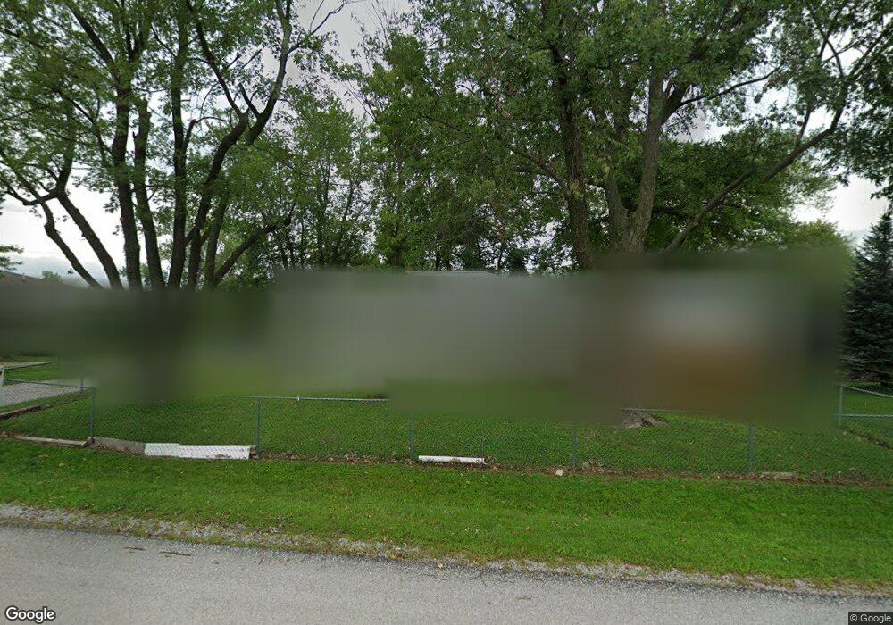
9623 Highway N Orrick, MO 64077
Estimated Value: $120,000 - $256,000
3
Beds
2
Baths
1,092
Sq Ft
$164/Sq Ft
Est. Value
About This Home
This home is located at 9623 Highway N, Orrick, MO 64077 and is currently estimated at $178,693, approximately $163 per square foot. 9623 Highway N is a home with nearby schools including Orrick Elementary School and Orrick High School.
Create a Home Valuation Report for This Property
The Home Valuation Report is an in-depth analysis detailing your home's value as well as a comparison with similar homes in the area
Tax History
| Year | Tax Paid | Tax Assessment Tax Assessment Total Assessment is a certain percentage of the fair market value that is determined by local assessors to be the total taxable value of land and additions on the property. | Land | Improvement |
|---|---|---|---|---|
| 2024 | $1,234 | $15,840 | $780 | $15,060 |
| 2023 | $1,225 | $15,840 | $780 | $15,060 |
| 2022 | $972 | $14,450 | $710 | $13,740 |
| 2021 | $955 | $14,450 | $710 | $13,740 |
| 2020 | $909 | $13,640 | $710 | $12,930 |
| 2019 | $920 | $13,640 | $710 | $12,930 |
| 2018 | $850 | $12,510 | $710 | $11,800 |
| 2017 | $846 | $12,510 | $710 | $11,800 |
| 2015 | -- | $12,180 | $710 | $11,470 |
| 2013 | -- | $62,350 | $3,598 | $58,752 |
| 2011 | -- | $0 | $0 | $0 |
Source: Public Records
Map
Nearby Homes
- 0 O Highway Hwy Unit HMS2594997
- 0 W 108th St
- Tract 1 Albany Rd
- Lot 1 Bruns Rd
- 10625 Franklin Rd
- 0 O Hwy Unit HMS2616680
- 0000 W 73rd St
- 8046 Southpoint Dr
- 8944 Southpoint Dr
- 35932 Missouri 10
- 35900 Highway 10
- 11990 Highway N A
- 9833 Highway O
- 0 Elkhorn Rd
- 35228 W 123rd St
- 0 Perry Rd
- Tbd W 88th St
- 0000 Perry Rd
- 205 S Bissell St
- 302 Wells St
Your Personal Tour Guide
Ask me questions while you tour the home.